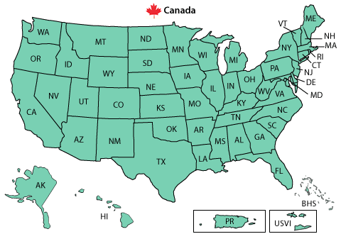
Southeast Montana | Northeast Montana | Central Montana | Western Montana | Pacific Northwest
Montana | Idaho | Washington | Oregon | Utah
Colorado | Wyoming | Nebraska | South Dakota | North Dakota
 CoCoRaHS is an acronym for the Community Collaborative Rain, Hail and Snow Network. CoCoRaHS is a unique, non-profit, community-based network of volunteers of all ages and backgrounds working together to measure and map precipitation (rain, hail and snow). By using low-cost measurement tools, stressing training and education, and utilizing an interactive Web-site, the aim is to provide the highest quality data for natural resource, education and research applications. The network originated with the Colorado Climate Center at Colorado State University in 1998 thanks in part to the Fort Collins flood a year prior. In the years since, CoCoRaHS has expanded rapidly with over 11,000+ observers in thirty-five states.

This is a community project. Everyone can help, young, old, and in-between. The only requirements are an enthusiasm for watching and reporting weather conditions and a desire to learn more about how weather can effect and impact our lives. Each time a rain, hail or snow storm crosses your area, volunteers take measurements of precipitation from as many locations as possible. These precipitation reports are then recorded on a web site. The data are then displayed and organized for many end users to analyze and apply to daily situations ranging from water resource analysis and severe storm warnings to neighbors comparing how much rain fell in their backyards.
To join the CoCoRaHS Network as a volunteer observer, click Here or download a .pdf version of the application Here and return it as soon as possible.
The CoCoRaHS Registration Form is in PDF format. To view the CoCoRaHS Registration Form Download Adobe Reader
Glasgow | Great Falls | Boise | Riverton | Rapid City | Bismarck | Other Sites
Montana | Idaho | Washington | Oregon | Utah
Colorado | Wyoming | Nebraska | South Dakota | North Dakota
North American (WPC) | Montana/Wyoming (ADDS) | Pacific Northwest (ADDS)