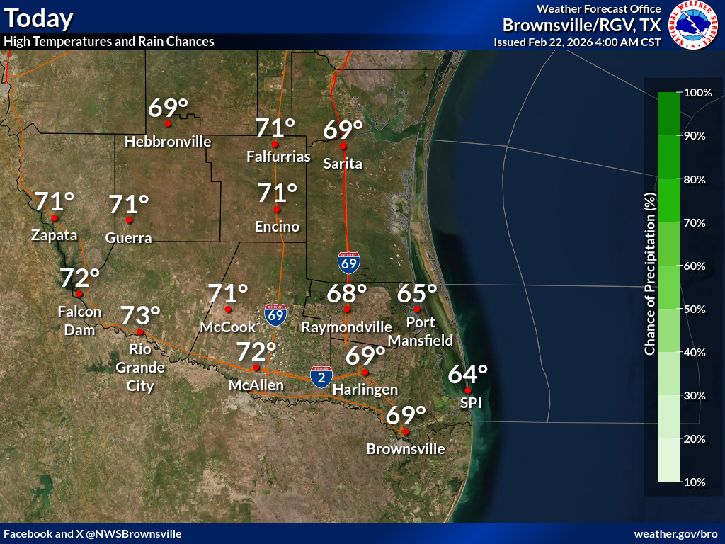
Another chilly morning is expected Monday, with "feels like" temperatures in the 30s. However, high temperatures are expected to be around 5-10°F higher than todays. If you're heading out in the morning, layer up!
A frontal boundary interacting with unusually high atmospheric moisture will increase rain chances midweek. The greatest chance of rain is along the coast and in the Rio Grande Valley on Tuesday night into Wednesday. Check back for updates to the forecast this week.
In the Location column, click on links for a list of recent observations at sites of interest. A new window will open.
In the Wind column, the letter indicates direction the wind blows from (N=North, E=East, S=South, W=West, NE=Northeast, etc). VRB is "variable" and G is "gust". Wind speeds are in MPH.
In the Baro (pressure) column, values are in inches.
In the Remarks column, HX is the Heat Index and WCI is Wind Chill Index (if shown). These are "Feels Like" temperatures. VSB is Visibility. "N/A" will be displayed if values are not available.
Text Product Selector (Selected product opens in current window)