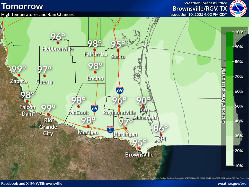
There are no watches, warnings, or advisories at this time.
Today's Heat Risk
5-Day Outlook
The combination of hot temperatures and relative humidity will result in a Moderate Heat Risk for the vast majority of Deep South Texas and the Rio Grande Valley today. Visit heat.gov for a one-stop shop on heat and health.
High pressure in the middle layers of the atmosphere will produce generally hot and dry conditions for several days. Showers and thunderstorms will return for early next week due to the approach of a disturbance from the northwest.
In the Location column, click on links for a list of recent observations at sites of interest. A new window will open.
In the Wind column, the letter indicates direction the wind blows from (N=North, E=East, S=South, W=West, NE=Northeast, etc). VRB is "variable" and G is "gust". Wind speeds are in MPH.
In the Baro (pressure) column, values are in inches.
In the Remarks column, HX is the Heat Index and WCI is Wind Chill Index (if shown). These are "Feels Like" temperatures. VSB is Visibility. "N/A" will be displayed if values are not available.
Text Product Selector (Selected product opens in current window)