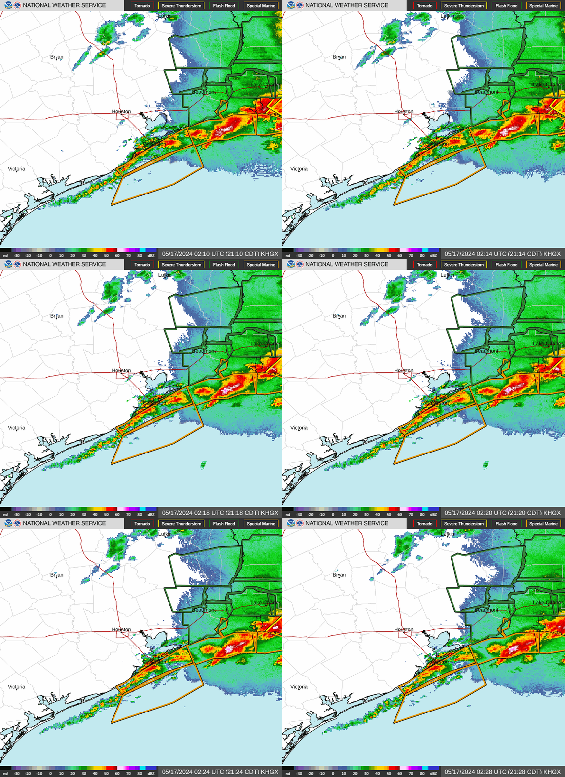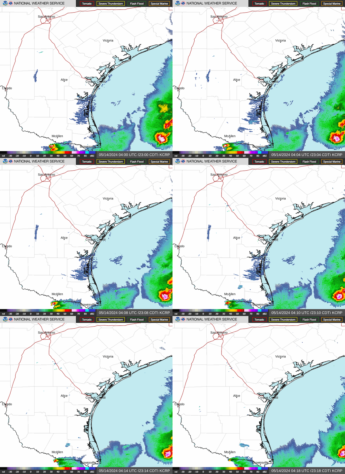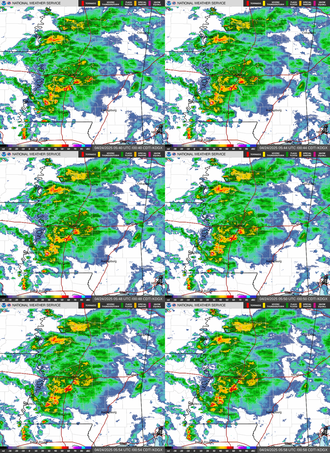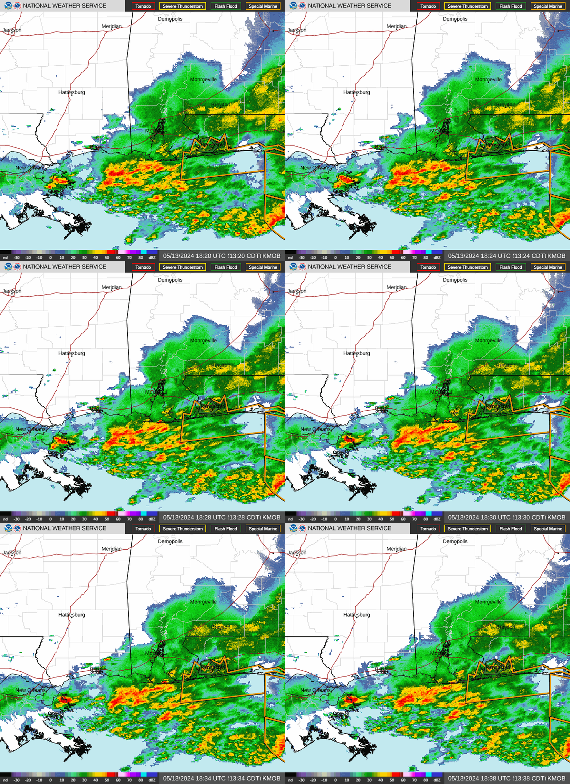
Isolated severe storms capable of hail and gusty winds are possible mainly this evening across portions of the mid-Mississippi Valley. Clusters of thunderstorms may produce isolated flash flooding in the Florida peninsula. Elevated fire weather risk is possible in the Northern Plains into western Minnesota. Read More >
Houston CWSU
Center Weather Service Unit
Houston CWSU » Radar Imagery
| Other Radar Links | Precipitation Analysis | Radar Archive |
| National Radar Map Radar Map Zoomed to KIAH College of Dupage Radar Radar Coded Message Tops Radar Intro and FAQs |
Precipitation Analysis - AHPS | Iowa Environmental Mesonet Iowa State University NCEI GIS Radar Data Portal |
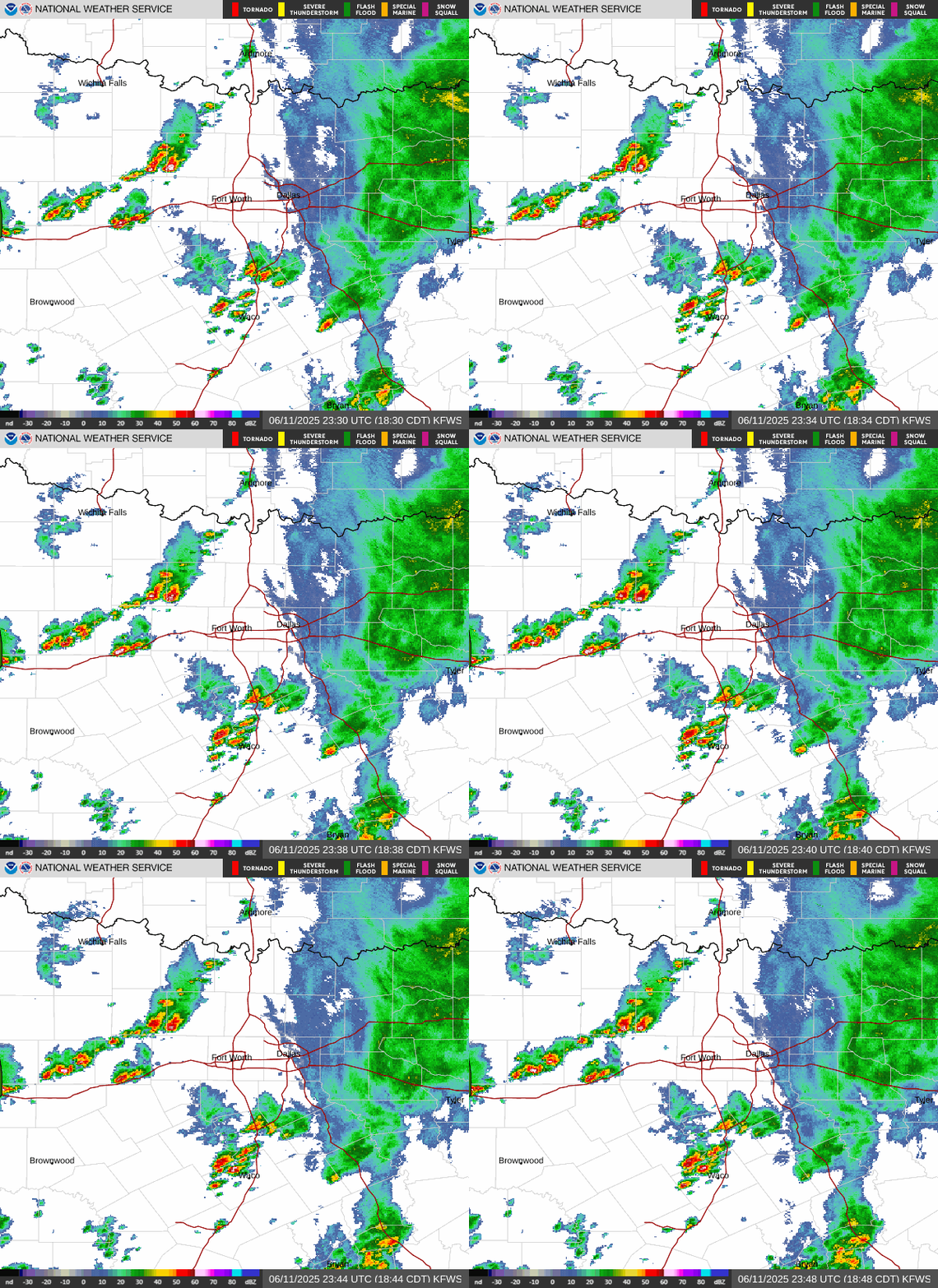
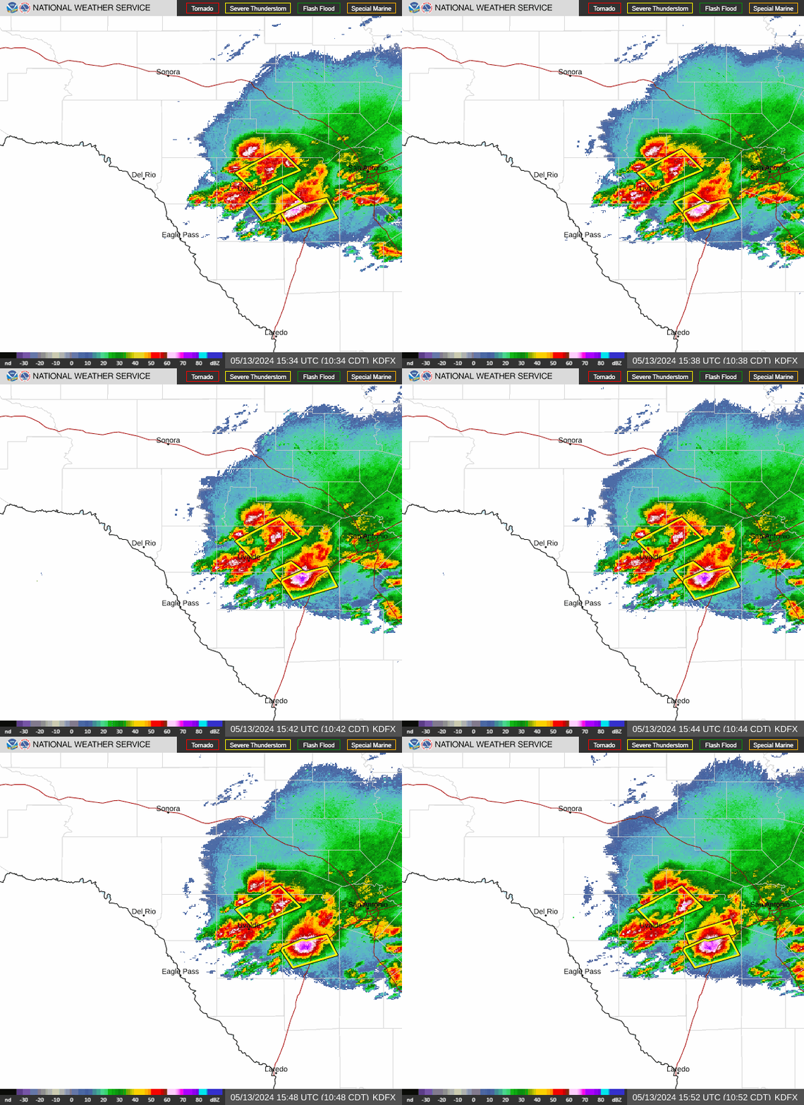
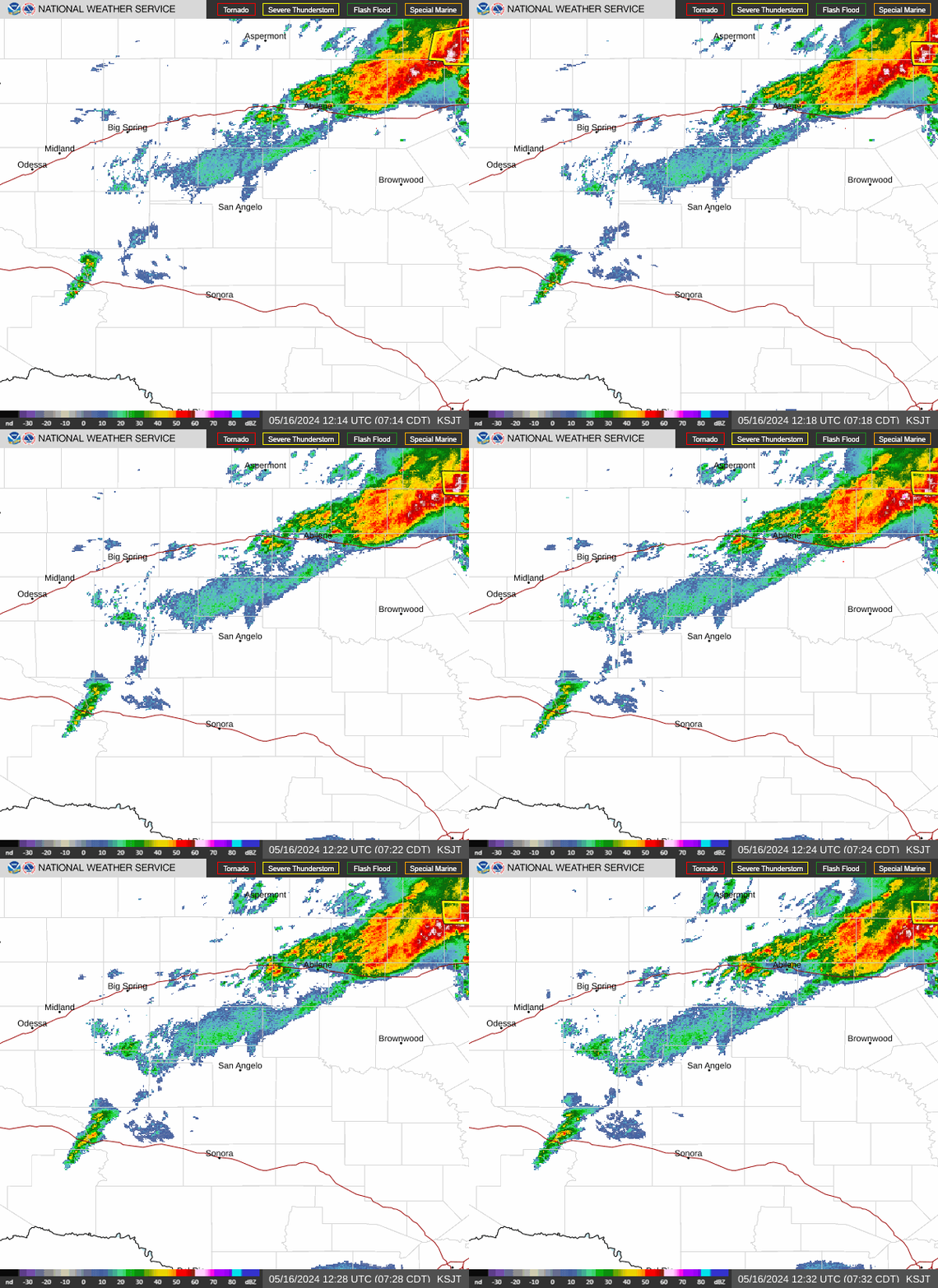
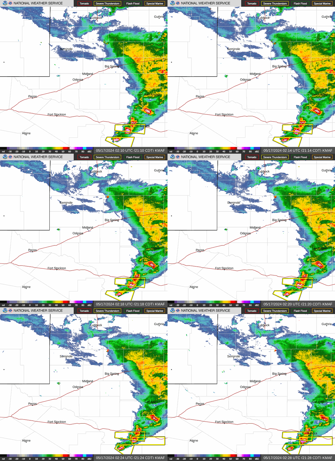
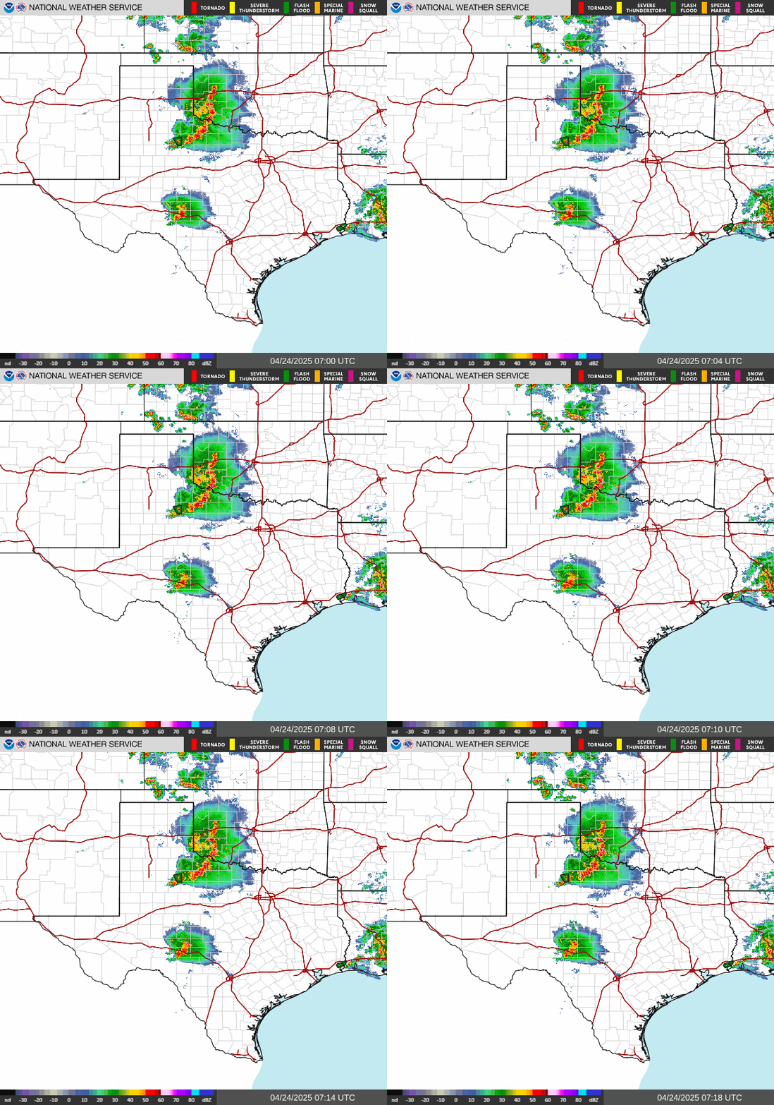
| Regional Composite Radar Imagery Click for full-screen image | |||||
| Southern Plains | Southern MS Valley | ||||
 |
 |
||||
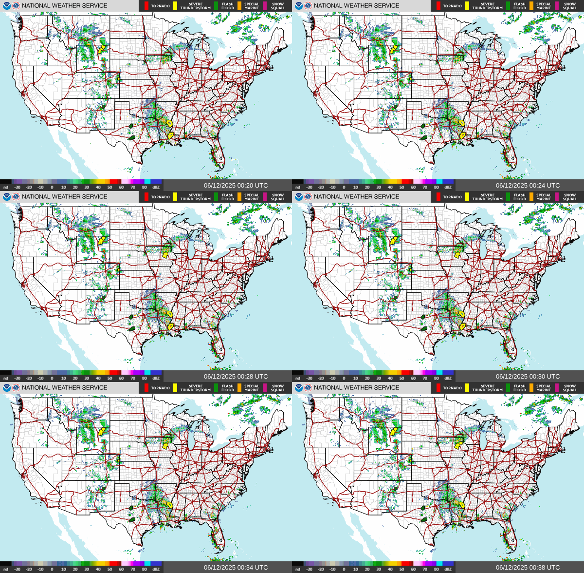
| National Mosaic Radar Click for full-screen image | |||||
 |
|||||
US Dept of Commerce
National Oceanic and Atmospheric Administration
National Weather Service
Houston CWSU
16600 JFK Blvd
Houston, TX 77032
Comments? Questions? Please Contact Us.


