National Weather Service United States Department of Commerce

Regional Outbreaks of Severe Weather Through Early Next Week; Early Season Heat Wave across the South

Active spring pattern across the center of our nation with several episodes of severe weather and heavy rainfall expected into next week. The potential for very large hail, long track tornadoes, severe wind gusts, frequent cloud to ground lightning strikes and flash flooding are in the outlook. Furthermore, dangerous early season heat wave continues for the Gulf Coast states into early next week. Read More >

Current AWC Front Page - SAT/IFR/PIREPs
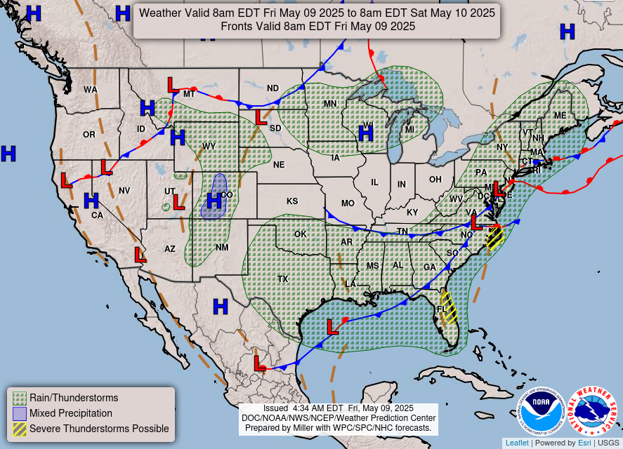
NOAA Daily Map:
NWS Storm Prediction Center (SPC) - Current Day 1 Outlook (SEVERE):
NWS Storm Prediction Center (SPC) - Current Day 2 Outlook (SEVERE):
NWS Storm Prediction Center (SPC) - Current Day 3 Outlook (SEVERE):
Echo Tops (updated every 30 minutes):
NWS NE Radar Mosaic (updated every 10 minutes):
NWS SE Radar Mosaic (updated every 10 minutes):
Sterling, VA Radar Mosaic (updated every 10 minutes):
Dover, DE Radar Mosaic (updated every 10 minutes):

Latest PIREPs - WX / Sky (last 2 hours):
Latest PIREPs - Turbulence (last 2 hours):
Latest PIREPs - Icing (last 2 hours):
FL300 Winds (Analysis)
FL300 Winds (12-hour Forecast)
DCA 20Kft wind profile
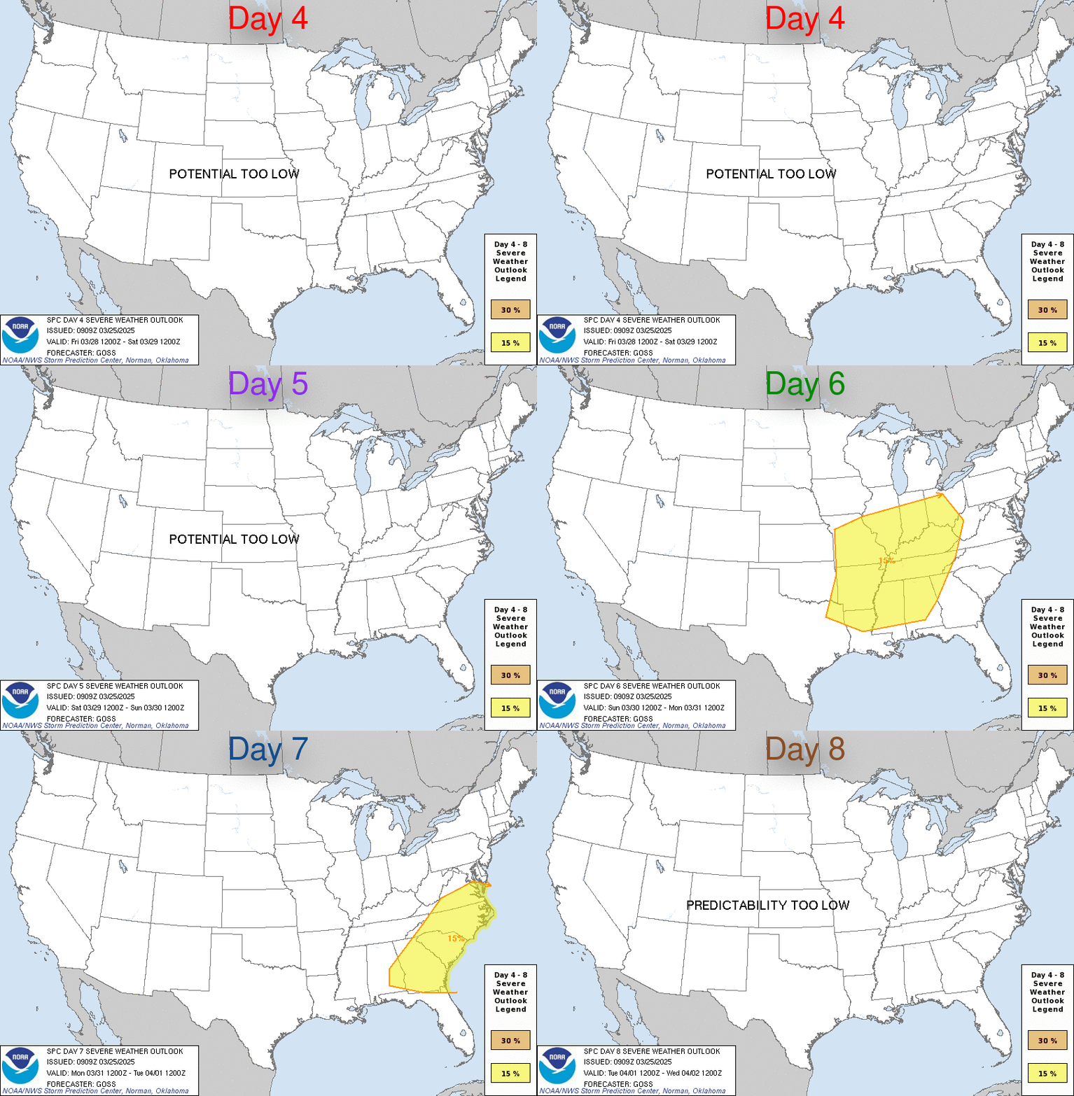
4-8 day Severe Wx Outlook:
Current Convective Watches:
Day 1 Impacts: