
Tropical Depression Two is expected to gradually strengthen and could bring tropical storm conditions to the Florida Panhandle beginning late Monday. Areas of flash flooding will be possible through Thursday along the eastern and central Gulf Coast. Severe thunderstorms will develop and move along a cold front crossing the Upper Midwest Monday, and through the Ohio Valley/Mid-Atlantic on Tuesday. Read More >
10 Year Anniversary of the
EF-3 Reading and Quenemo Tornado
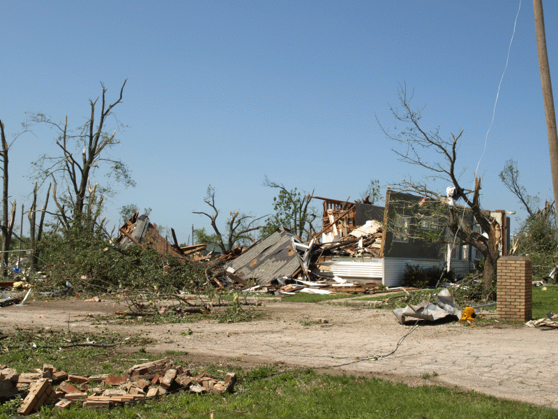
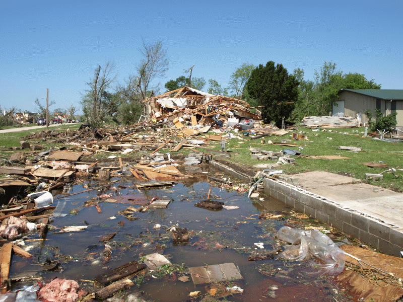
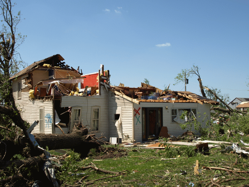
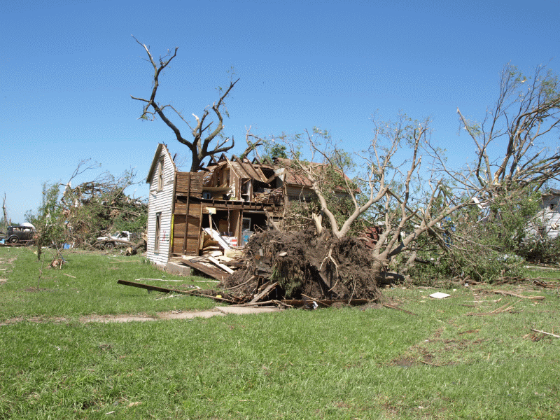
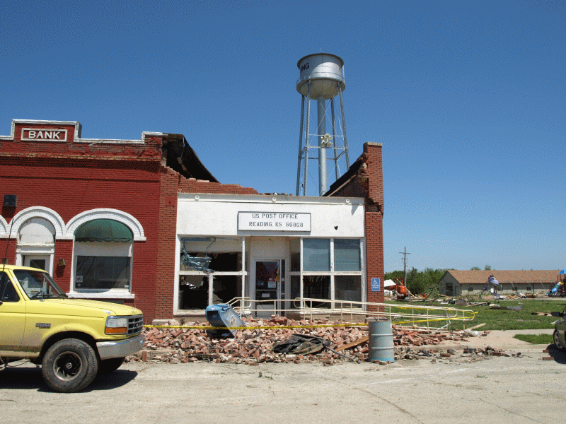
**May 21, 2021: 10 years ago on this date, several tornadoes impacted portions of Lyon and Osage counties, including an EF-3 tornado that went through the town of Reading, KS. Several homes and businesses were damaged or destroyed within the town. Unfortunately, there was one fatality reported. Since this time, businesses were rebuilt with a new community building and city park. The original web story, photos, and radar images are shared below.**
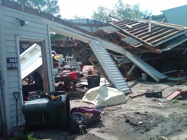
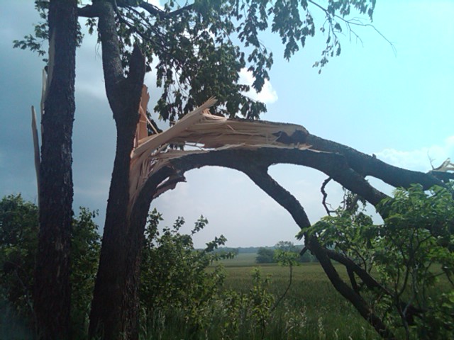
Several tornadoes touched down across Lyon and Osage Counties Last Saturday evening. The strongest of these was an EF3 tornado that went through Reading, KS. A single story home in Reading was swept off its foundation with several other two story homes suffering significant damage or complete lose of the second story. Later in the night, another tornado developed over Quenemo and touched down on the west side of town destroying a couple structures. In all there where 4 tornados on the evening of the 21st from just north of Emporia to just south of Pomona.
.gif)
Reflectivity and Storm Relative velocity images of the supercell storms that produced the tornados 21 May 2011
The storm that produced the tornados moved northeast out of Chase County into Lyon County. As it did the thunderstorm moved into a more favorable environment with a moist air mass and increasing low level shear and began rotating near Emporia. The thunderstorm continued to track east and northeast across Osage and Franklin Counties before exiting Franklin County after midnight.
.jpg)
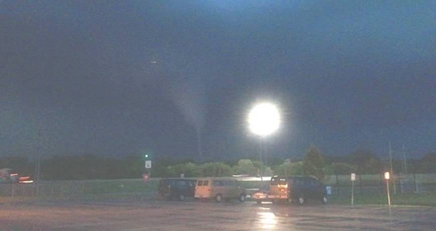
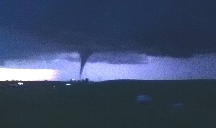
Images of the tornado north of Emporia before hitting Reading.
 KVOE.jpg)
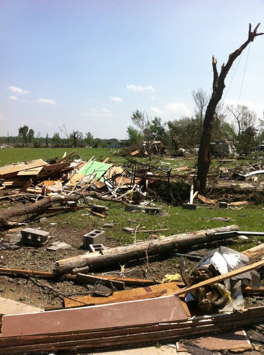
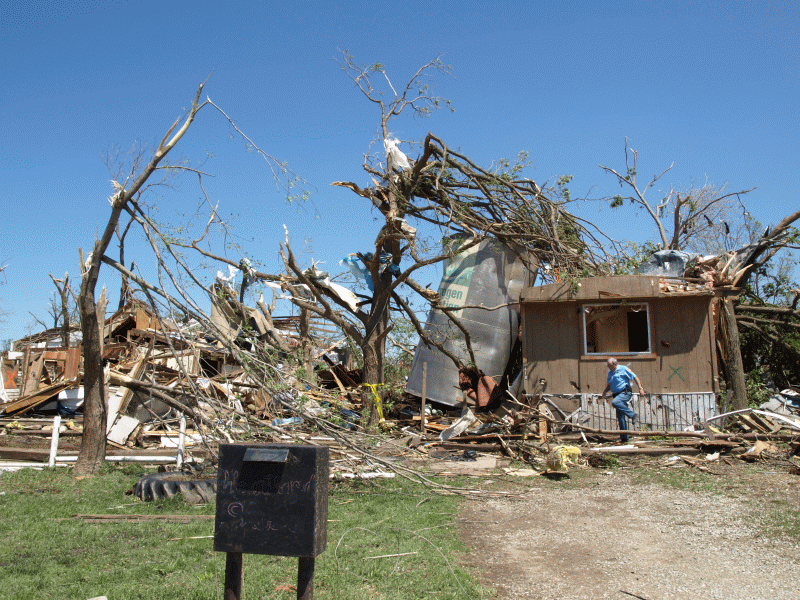
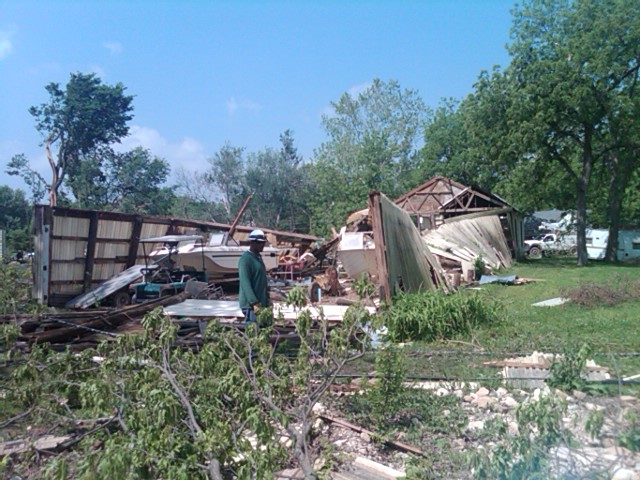
Damage in Quenemo and southwest of Pomona.

