
A Nor'easter will create hazardous marine and coastal conditions along the Mid-Atlantic coast through mid-week, with significant coastal flooding and beach erosion possible. Meanwhile, another strong storm system is forecast to bring high winds and heavy precipitation to portions of southern Alaska. Elsewhere, relatively benign weather is expected through the first half of the work week. Read More >
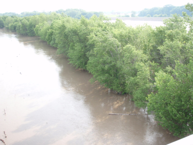
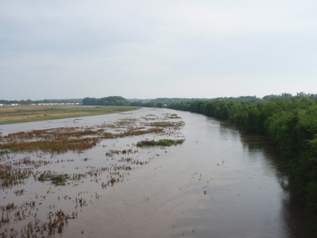
The aftermath of the severe thunderstorms that occurred on June 1, 2011 dropped 3 to 8 inches of rainfall in a short time period which caused extensive creek and river flooding across portions of Northeast Kansas. The majority of the streams and creeks peaked near minor to moderate flood stage, effecting nearby roads, fields, along with homes and businesses especially in the Manhattan area. As the creeks flowed into the rivers (particularly the Kansas River), water stages subsequently have risen near or above flood stage. The Kansas River crested just 1/2 foot below flood stage at 25.53 feet around 2:15 AM CDT on June 3rd. Minor Flood stage is considered to be 26 feet. Historic record crests show the last time the river crested close to this stage was on November 2, 1998 where the river crested above flood stage at 26.43 feet. The highest crest ever reached since records have been kept was back on June 1, 1844 where the river reached 47.20 feet. The river is forecast to fall in the upcoming days with minimal chances for rain. The photos below are from the Topeka river gauge along the Kansas River.
Click for larger image
The two images above depict the Kansas River coming out of its banks on the west side, covering trees
and the nearby flood plains.
Click for a larger image
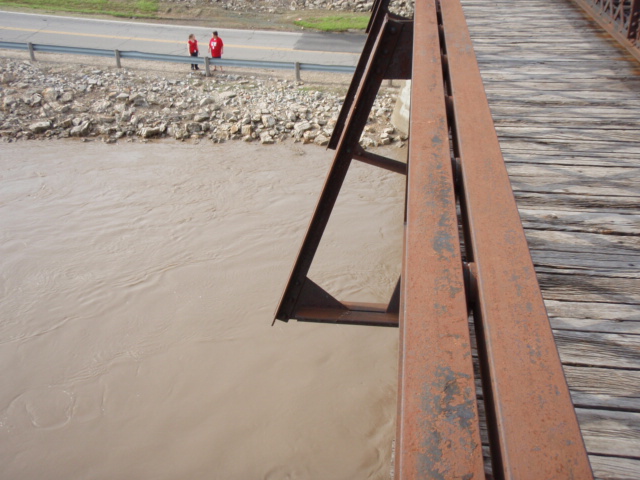
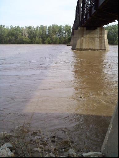
The two images above were taken along the Kansas River on River Road in Topeka.
The road was temporarily closed in case the river reached flood stage which would have possibly
led to water flowing over the road.
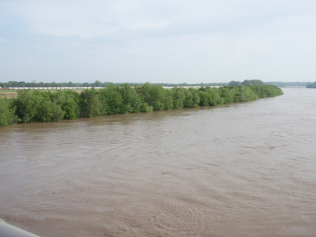
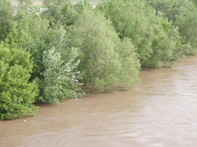
click for a larger image
View of the Kansas River looking west on Sardou Bridge in Topeka. Photo was taken
around 8:30 AM on June 3rd where the river stage was at 24.3 feet.


 Follow us on X
 Follow us on Facebook
 Follow us on YouTube
 TOP RSS Feed