
Tropical Depression Two is expected to gradually strengthen and could bring tropical storm conditions to the Florida Panhandle beginning late Monday. Areas of flash flooding will be possible through Thursday along the eastern and central Gulf Coast. Severe thunderstorms will develop and move along a cold front crossing the Upper Midwest Monday, and through the Ohio Valley/Mid-Atlantic on Tuesday. Read More >
Topeka, KS
Weather Forecast Office
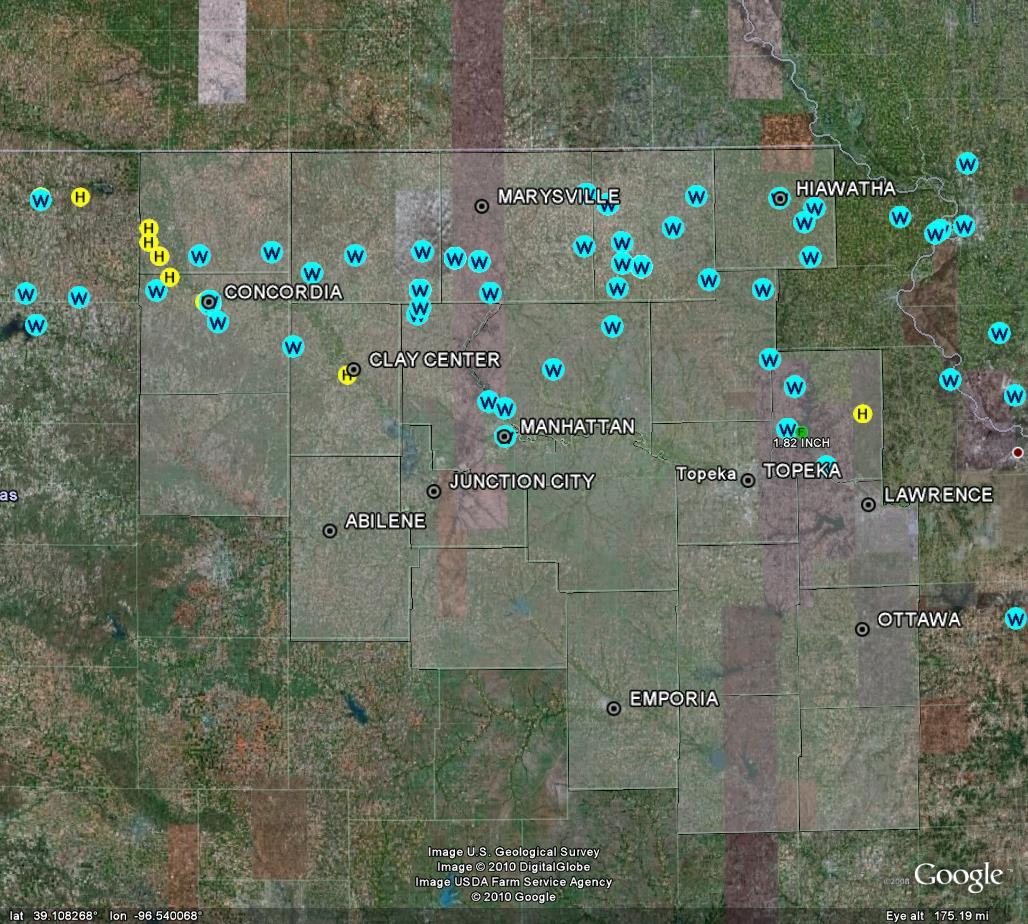
A powerful storm system moved across northern Kansas on Saturday morning, producing winds of 60 to 80 mph or greater from north central Kansas well into Missouri. Some of the strongest winds were experienced along a swath extending from Concordia through Barnes, Blue Rapids and Vermillion along Highway 9, and between highway 16 and 36 over extreme northeast Kansas.
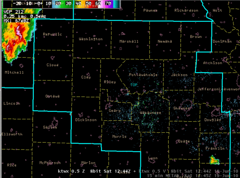 |
| Loop of reflectivity every 15 minutes from 744 AM to 1129 AM CDT June 19 2010. |
Click here for a link to wind speed and damage reports
This page will be updated as more information becomes available this weekend.
A brief overview of storm reports from the morning hours is below...
Here are a few images from Cloud County. Pictures courtesy of Tom Roberts.


US Dept of Commerce
National Oceanic and Atmospheric Administration
National Weather Service
Topeka, KS
1116 NE Strait Avenue
Topeka, KS 66616-1667
785-234-2592
Comments? Questions? Please Contact Us.

