
A Nor'easter will create hazardous marine and coastal conditions along the Mid-Atlantic coast through mid-week, with significant coastal flooding and beach erosion possible. Meanwhile, another strong storm system is forecast to bring high winds and heavy precipitation to portions of southern Alaska. Elsewhere, relatively benign weather is expected through the first half of the work week. Read More >
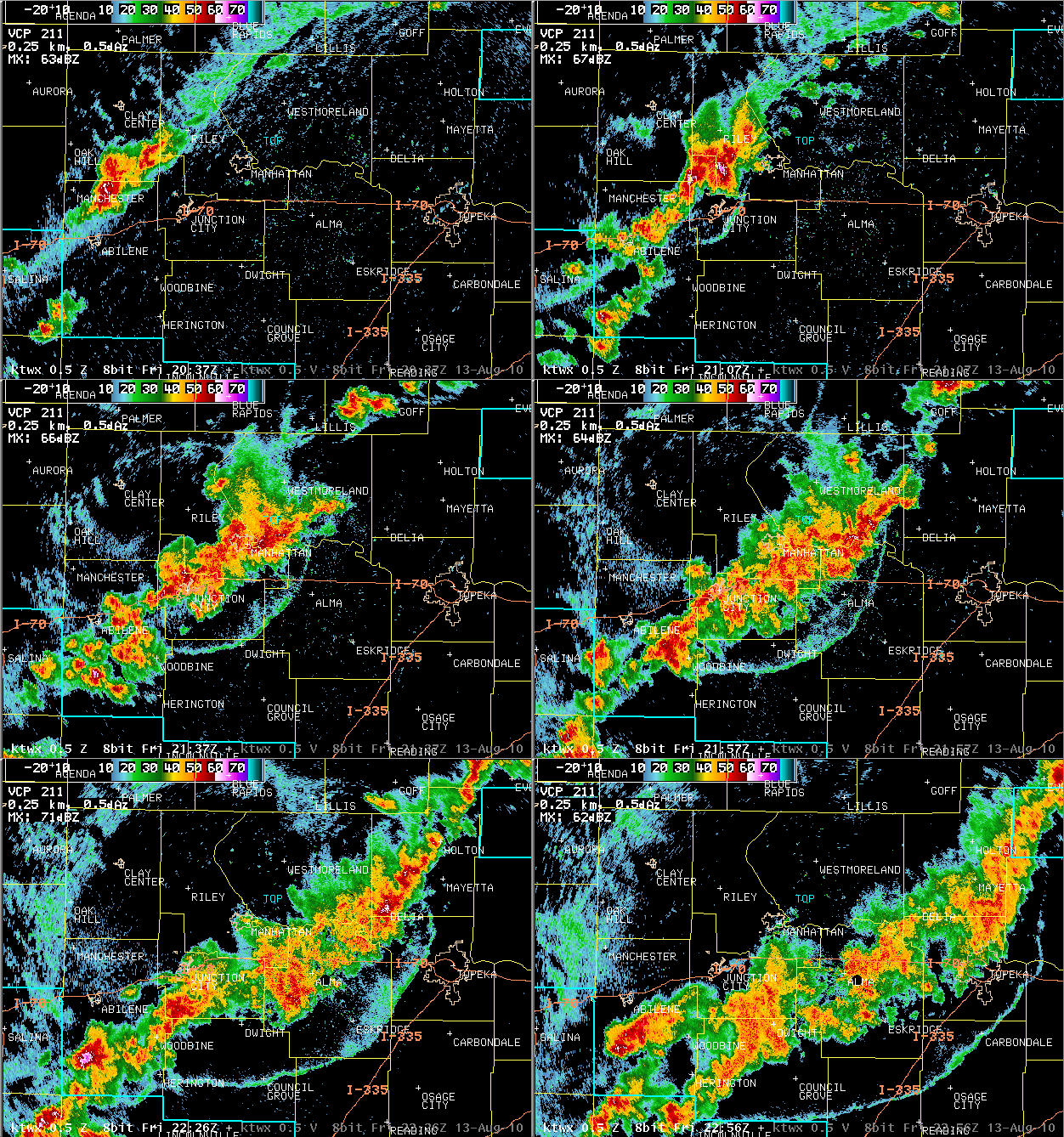
A slow moving cold front moved into an extremely hot and unstable airmass across central and eastern Kansas on Friday, August 13th. While this cold front was not particularly strong with temperatures behind the boundary still in the 90s, it was more than sufficient to spark thunderstorms along a line from Salina to Seneca. The airmass feeding into these storms was extremely unstable, with temperatures in the 100 to 106 degree range and dewpoint temperatures in the 60s and 70s. This led to rapid storm intensification, with the first severe thunderstorm warning being issued less than 30 minutes after the first rain drop fell.
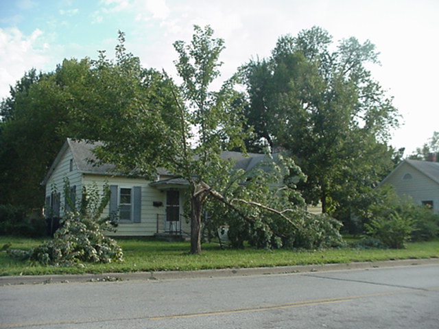
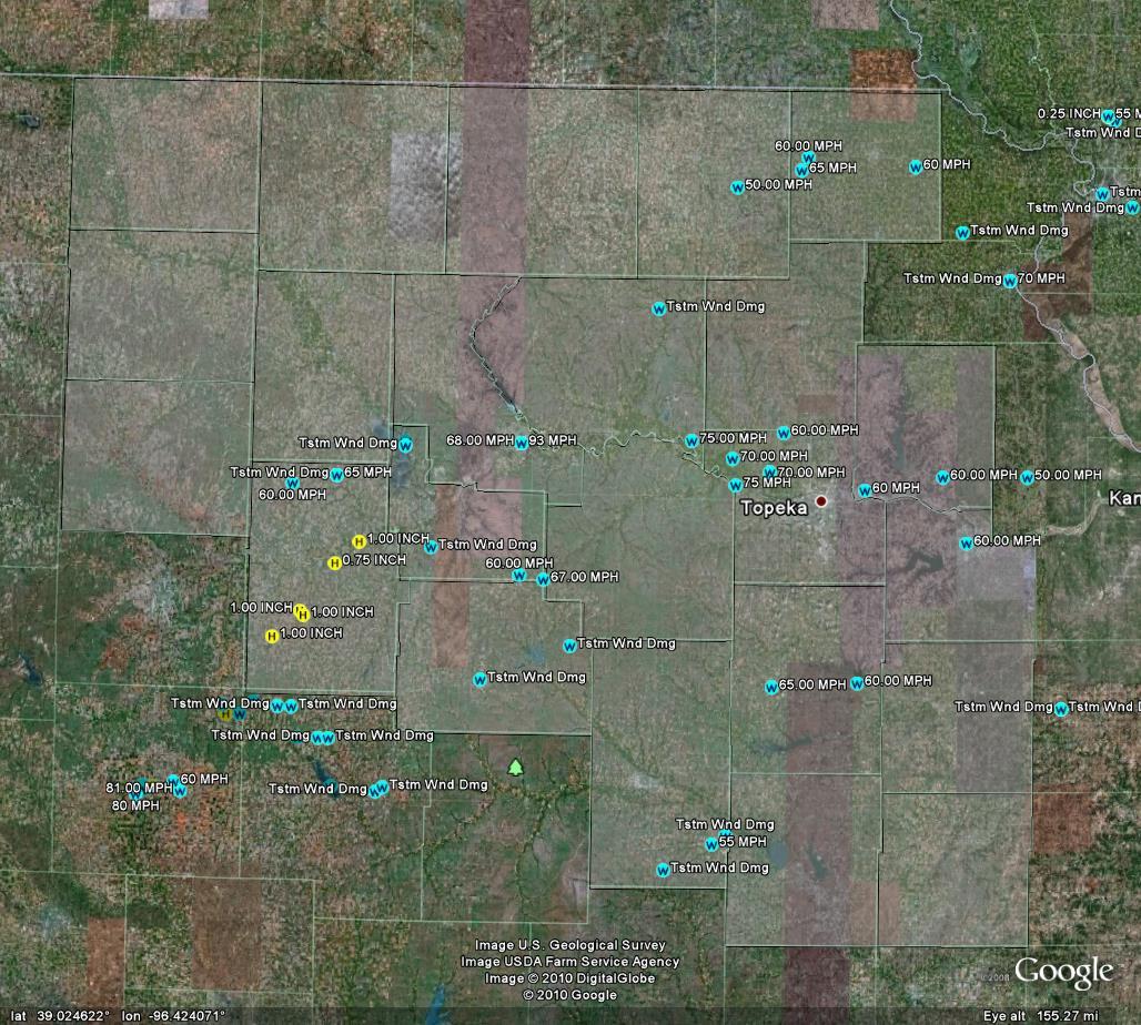
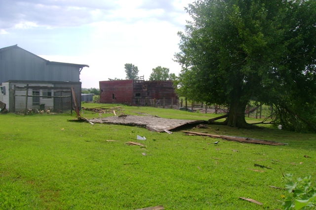
The lowest levels of the atmosphere exhibited ideal conditions for damaging winds. Two of the first thunderstorms to develop merged into a single, very large thunderstorm complex about an hour after developing. The structure of these two powerful updrafts, coupled with the favorable environment, produced the strongest winds of the event as a broad intense downdraft raced across southern Riley and northern Geary counties. The Manhattan airport tower measured a wind gust of 93 mph at the peak of the storm, with similar wind speeds in the 70 to 95 mph range from southern Manhattan through Ogden and other parts of southern Riley county. This storm complex tracked east across southern Pottawatomie, northern Wabaunsee, southern Jackson, northern Shawnee and Jefferson counties. While it weakened a bit as ait pushed east, the storms left a swath of wind damage, due to winds likely in the 50 to 75 mph range.
Additional severe thunderstorms developed along the front to the northeast and southwest of the initial complex, bringing repeated rounds of damaging winds of 50 to 70 mph, a few reports of hail larger than quarters, and intense cloud to ground lightning. As the event wore on into the evening hours, thunderstorms continued to produce wind damage, with a truck being blown off the road and power lines down in Lyon county.
|
Pottawatomie Co. |
Radar Loop |
|
|
|
|
|
|
Osage City |
||
|
|
 |


 Follow us on X
 Follow us on Facebook
 Follow us on YouTube
 TOP RSS Feed