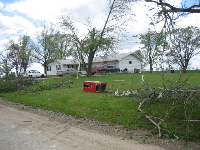
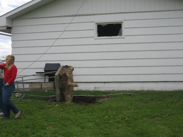
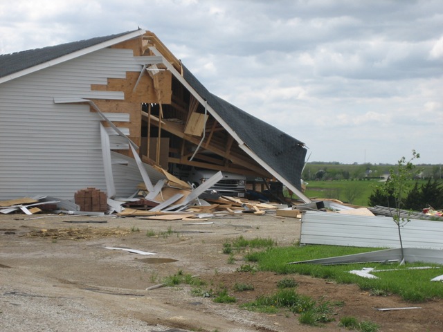
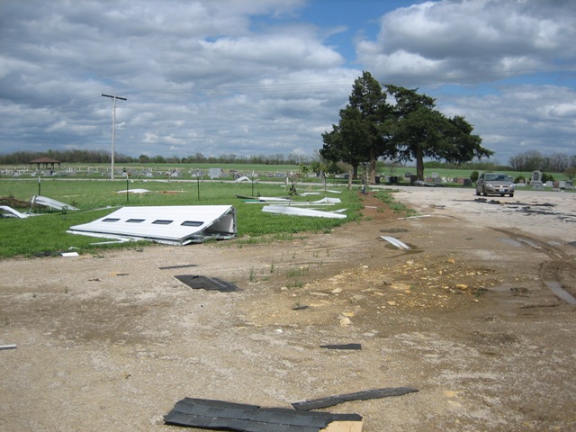
National Weather Service United States Department of Commerce

Lake-effect Snow and Whiteout Conditions in the Great Lakes Region; Below-average Temperatures in the East

Heavy lake-effect and lake-enhanced snow will persist downwind of the Great Lakes and produce some whiteout conditions that could cause difficult travel conditions. A coastal low will produce moderate to heavy snow over parts of southern and eastern New England into the afternoon. Below average temperatures are expected across the eastern U.S., particularly with chilly morning temperatures. Read More >

A Summary of the Damage Caused by Severe Thunderstorms During the Early Morning Hours of May 2, 2008


Listed below is a brief write up summarizing straight line wind and tornado damage that occurred in Osage and Douglas Counties.

The image below depicts the damage reports that have been reported to the NWS in Topeka so far for Thursday and Thursday night’s severe weather.

Click the image below for a larger view


The images below depict the short lived EF-2 Tornado in Northwestern Douglas County as seen on Doppler Radar when it touched down around 1:04 AM. On the left is the lowest level reflectivity associated with the tornado. On the right is the corresponding Storm Relative Motion (SRM) image associated with the tornado at the same time.

Click on either image below for a larger view.


The images below depict the two tornadoes that touched down in Osage (left) and Douglas (right) Counties during the early morning hours of Friday May 2, 2008. The red triangles indicate damage sites surveyed by the NWS Storm Survey Team. The red lines connecting the triangles indicate the approximate path the tornado took in between surveyed damage sites.

Click either image below for a larger view


Below is a series of images of damage collected by the NWS Storm Survey Team. Each table of pictures will indicate which damage site the photos were taken from.

Click on any of the images below for a larger view


The images in this table are from the EF-0 Tornado Damage in Osage County that occurred at 12:43 AM


The images in this table are from the EF-0 Tornado Damage in Osage County that occurred at 12:45 AM


The images in this table are from the EF-2 Tornado Damage in Douglas County that occurred at 1:04 AM


The images in this table are from the EF-0 Tornado Damage in Douglas County that occurred at 1:06 AM