
Tropical Depression Two is expected to gradually strengthen and could bring tropical storm conditions to the Florida Panhandle beginning late Monday. Areas of flash flooding will be possible through Thursday along the eastern and central Gulf Coast. Severe thunderstorms will develop and move along a cold front crossing the Upper Midwest Monday, and through the Ohio Valley/Mid-Atlantic on Tuesday. Read More >
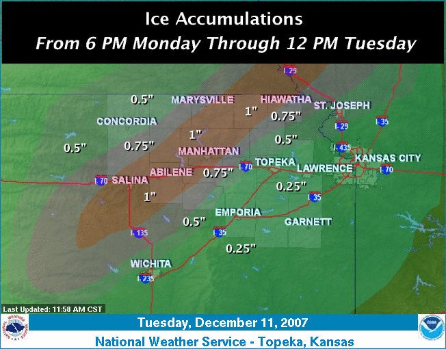
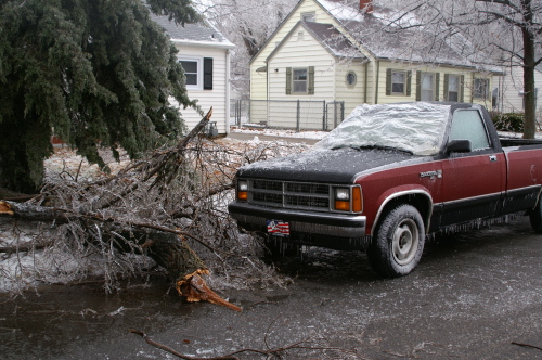
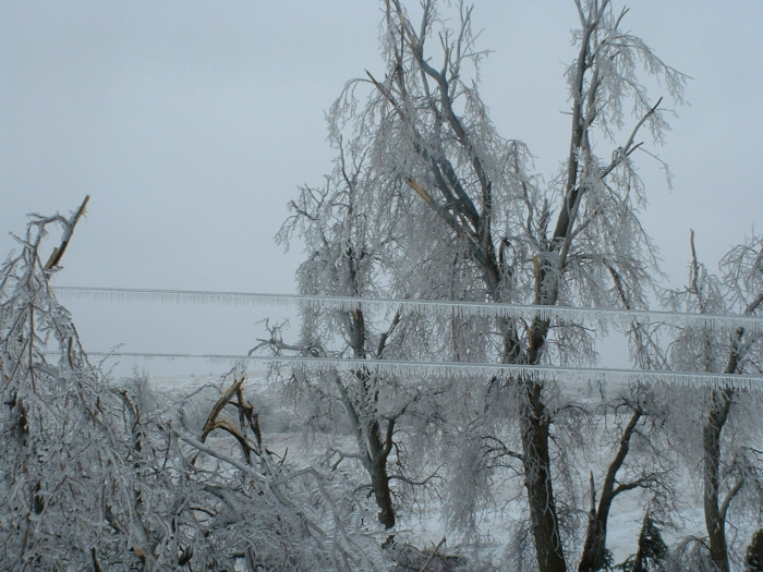
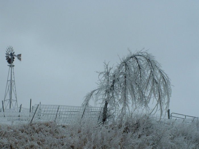
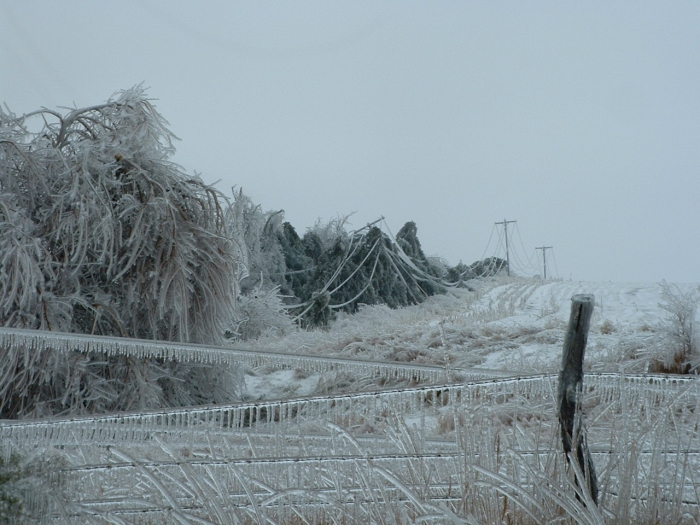
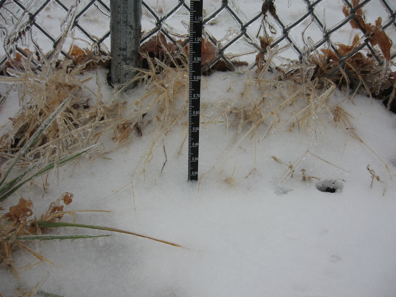
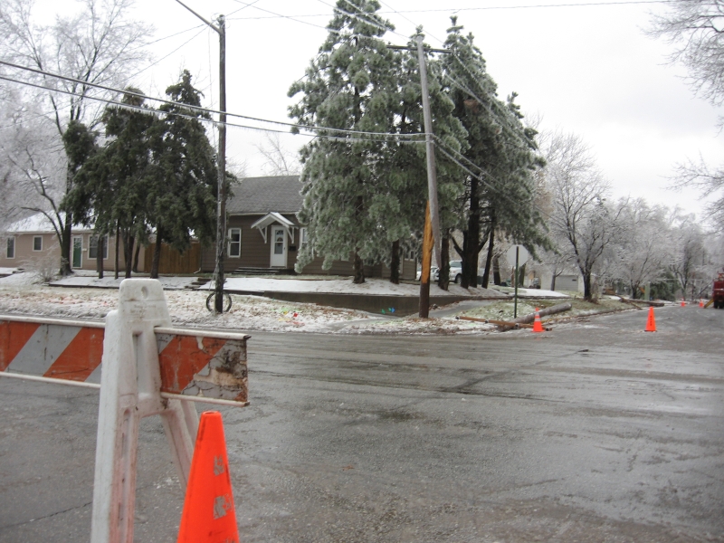
A slow moving storm system brought a long duration of freezing rain to portions of North Central, Northeast, and East Central Kansas. The event began late Monday afternoon and continued into the afternoon hours on Tuesday. Liquid precipitation amounts ranged from one to three inches over the area. With surface temperatures at or below freezing, combined with a warm layer of air just above the surface, the precipiation fell in the form of freezing rain. Ice accumulated on many surfaces, especially trees and power lines. The most supportive conditions for freezing rain were found in a fairly narrow swath over portions of North Central and Northeast Kansas, where one inch of ice was reported in numerous locations. This led to widespread power outages and trees down. Winds increased to 10 to 15 mph in the overnight hours Tuesday night, causing additional problems as the increased stress from the wind caused further tree and power line damage.
Many schools and businesses were closed across the region due to travel problems as well as widespread power outages.
 |
 |
 |
Photos From Corning, Kansas (Nemaha County)
 |
 |
 |
Photos from Manhattan (Courtesy KSU)
 |
 |

