Extremely critical fire weather concerns for portions of the southern High Plans as strong wind and very dry conditions could result in rapid spread of any fires. Meanwhile, severe thunderstorms are expected once again across areas of the Central and Southern Plains, then spreading in the Mississippi Valley regions on Monday. Damaging winds, very large hail and strong tornadoes are possible. Read More >
In the late evening hours of October 1st, 2005, an upper level system made its way over northeast Kansas. As often happens in the warm season across the plains, a low level jet developed overnight, bringing deep moisture and added lift to the area. The end result was a series of storms moving over the same locations again and again, until finally some spots in the area had received as much as a foot of rainfall.
Radar Estimated Precipitation - Click to Enlarge
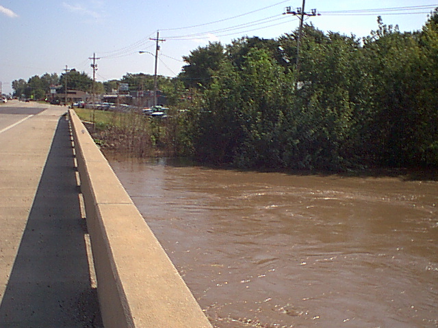
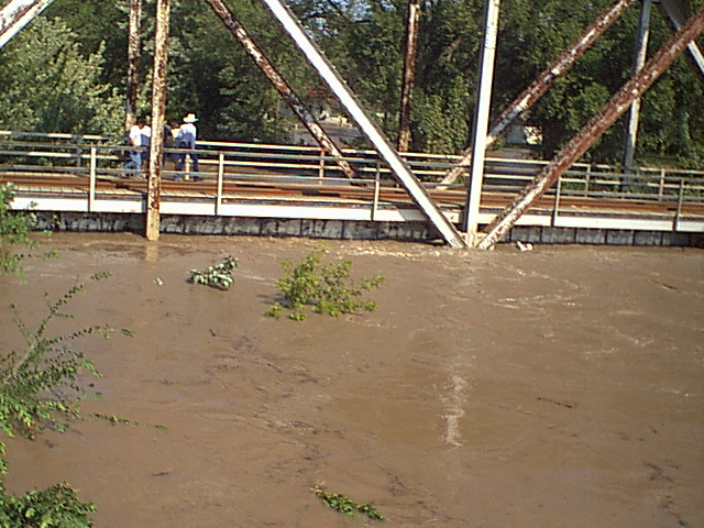
The rainfall not only caused many road closures due to flooding, but several local creeks roared out of their banks and brought flooding to urban and rural areas near the creeks. Rossville in Shawnee county was likely the hardest hit, mainly due to flooding of Cross Creek in that area. As of Monday evening, 80% of the geographical area was flooded, with voluntary evacuations for the city in place.
In Topeka, Soldier Creek at its highest had a stage of 34.67 feet at 1pm on Monday the 2nd. This is the record highest stage of this creek at this point - the previous record was held by the floods of 1951, when the highest stage was 33.06 feet on June 22, 1951. Many locations in Topeka overnight had reports of flooding and road closures. Jackson and Jefferson counties also had many road closures due to high water and road damage.
Even a few severe thunderstorms were reported in the overnight hours, producing wind gusts in excess of 60 mph and hail over nickel sized in some areas.
Record rainfall also fell at Topekas Billard Airport, at 3.31 inches for October 1st. The 30 year average rainfall for the Topeka Billard area is 2.99 inches for the entire month. So the montly average was achieved in just under a day!
Thanks to one of our spotters for the photos below - of Cross Creek near Rossville:
 |
 |