[JUL 29, 2026]
🌊 Know the risk before you swim.
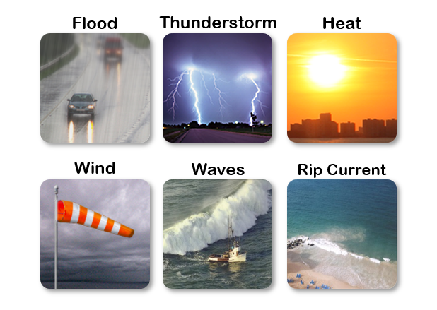
A moderate risk of rip currents exists today for beaches along the north coast of Puerto Rico. Elsewhere, the risk is lower, but rip currents can still occur.
Swim at beaches with lifeguards when possible, stay close to shore, and always follow beach safety flags and local officials' instructions.
*********
Español
*********
🌊 Conozca el riesgo antes de entrar al agua.
Hoy existe un riesgo moderado de corrientes marinas para las playas de la costa norte de Puerto Rico. En el resto de las playas el riesgo es menor, pero las corrientes marinas aún pueden ocurrir.
Siempre que sea posible, nade en playas con salvavidas, permanezca cerca de la orilla y siga las banderas e instrucciones de las autoridades.


 7-Day Graphical Hazardous Weather Outlook
 Tropical Analysis
 Tropical Weather
 Regional Satellite
 Puerto Rico and US Virgin Islands