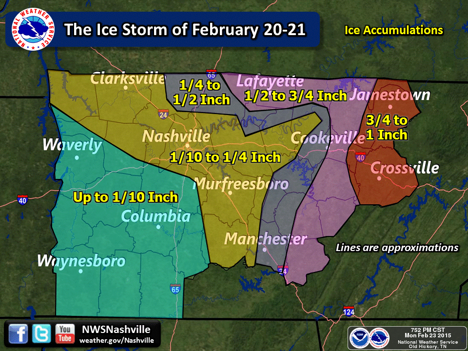
Just a couple of days after two significant winter storms brought widespread ice and snow to Middle Tennessee on February 16 and February 18, forecasters were becoming concerned that another round of freezing rain would affect much of the same areas that saw the heaviest icing - which still had up to 1/2" of ice on trees and powerlines that had not melted. Their concerns were warranted, as a crippling ice storm struck Middle Tennessee from February 20-21, 2015. All of Middle Tennessee saw at least a tenth of an inch of ice accumulation on top of the snow, sleet, and ice already on the ground--with as much as an inch of total ice accumulation along the Cumberland Plateau.
Areas east of Nashville, especially on the Cumberland Plateau, received the most devastating blow - with power lines, power poles, and trees coming down in many places, producing widespread power outages and blocking highways. In fact, it was considered the "worst natural disaster in the history of Cumberland County", according to Cumberland County Emergency Management. The Volunteer Electric Coop reported 35,000 people without power at the peak of the storm, including all of Fentress County and most of Cumberland County, as well as 700 broken power poles and $9.5 million in damage to their utility system. As of March 7, 2015, a few hundred people still remained without power in Fentress, Cumberland, and Putnam Counties.
Travel conditions remained hazardous over many areas through the weekend of the 21st and 22nd - especially over northern and eastern sections of Middle Tennessee - and many schools remained closed into the first part of the upcoming week.
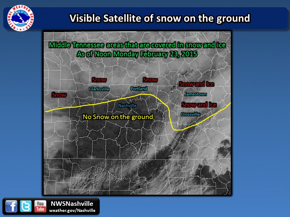
The clouds parted briefly on Monday, February 23rd, and allowed us to capture this visible satellite photo of the snow pack over northern parts of the Mid-State. Eastern areas still had some patchy clouds, making it a little more difficult to determine the most southern extent along the Cumberland Plateau. The yellow line on the photo shows the estimated southern extent of snow and ice. You should be aware that the snow in some spots, where it was thin or patchy, may not show up in this photo. Therefore, it is not unreasonable to assume that some locations south of the yellow line may also have still had a little snow on the ground.
Some of the most dramatic ice storm pictures came to us from eastern Middle TN:
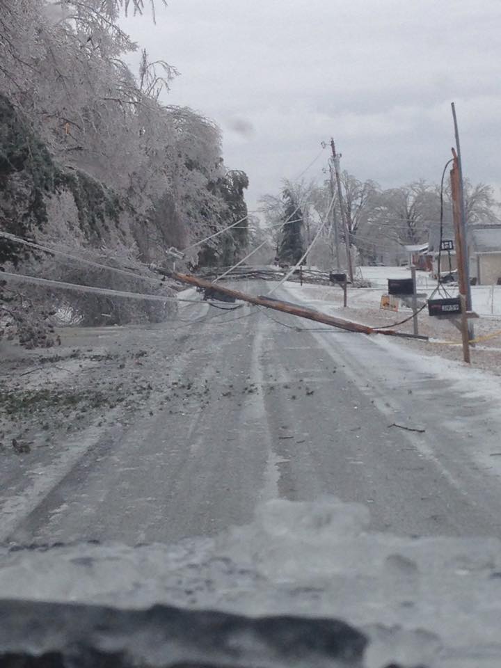
The Crippling Ice Storm of Feb. 20-21, Crossville (Cumberland County) [Photo Credit: Jessi Wilson]
Monterey (Putnam County) [Photo Credit: Ricky Shelton]
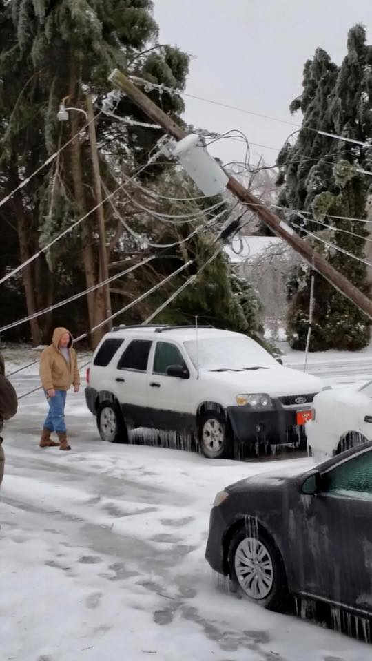
Lake Tansi (Cumberland County) [Photo Credit: Crystal Mercer]
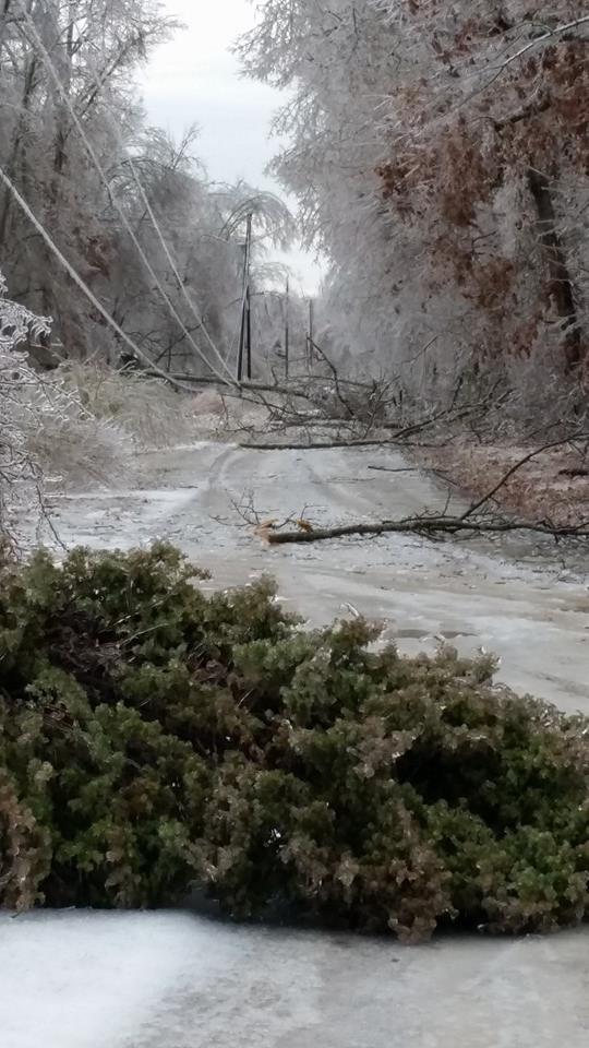
Sparta (White County) [Photo Credit: Amber Hall]
Crossville (Cumberland County) [Photo Credit: Ammie Seitner]
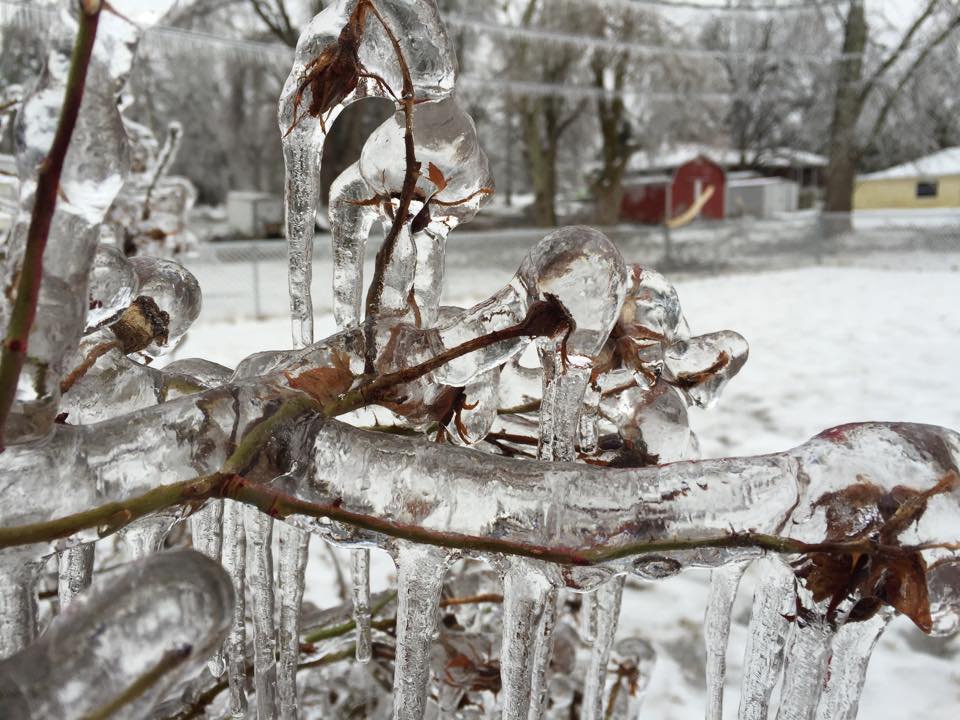
Monterey (Putnam County) [Photo Credit: Brian Bacon]
Crossville (Cumberland County) [Photo Credit: Howard Weaver]
Crossville (Cumberland County) [Photo Credit: Howard Weaver]
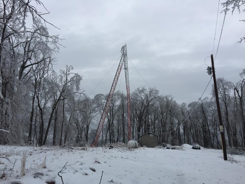
105.7 FM Radio Transmitter Tower in Crossville toppled by ice (Cumberland County). [Photo Source: unknown]
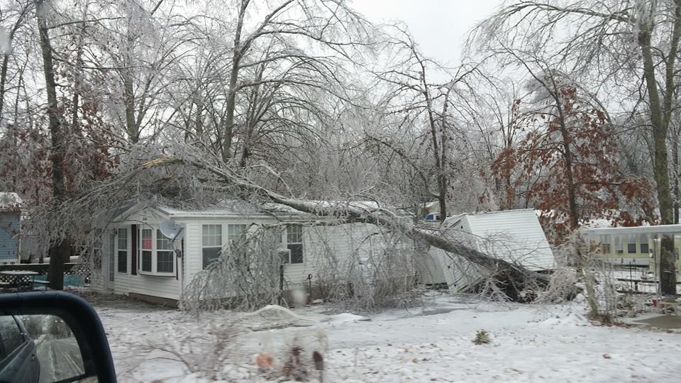
More Ice Storm Damage, location unknown [Photo Source: unknown]
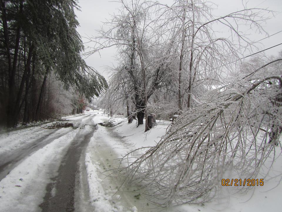
Jamestown (Fentress County) [Photo Credit: Creigh Slaven]
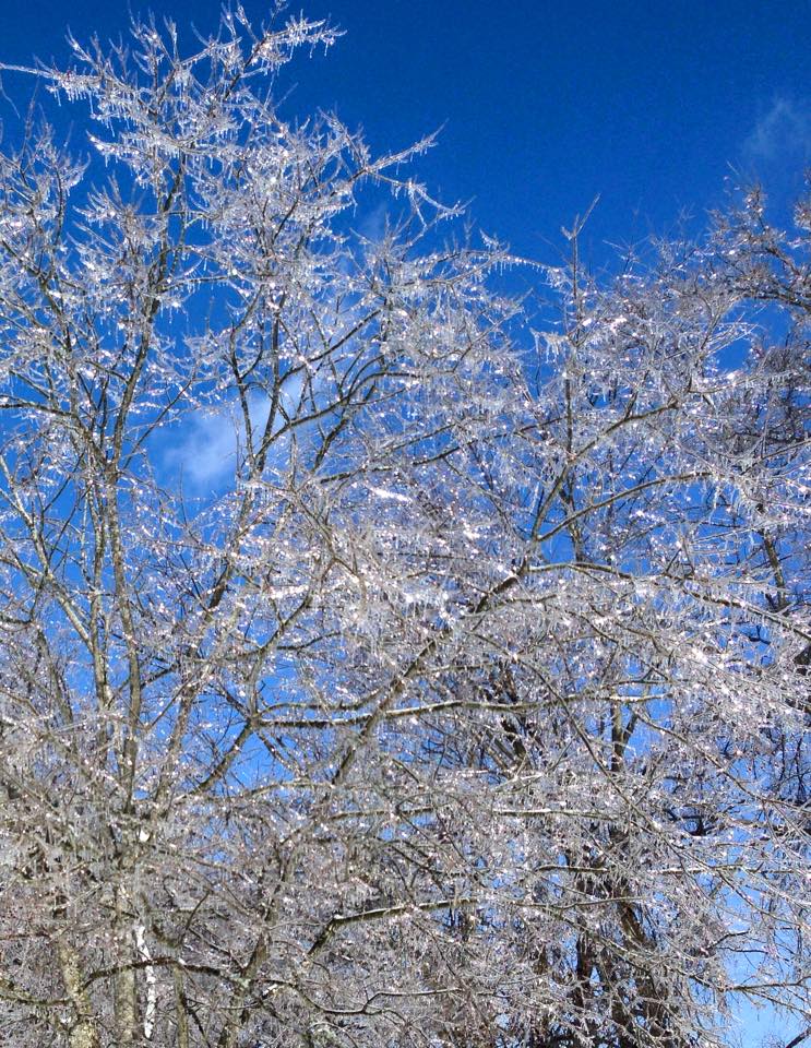
Sparta (White County) [Photo Credit: Caitlin Whitaker]
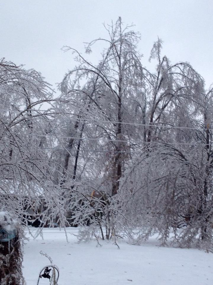
Pleasant Hill (Cumberland County) [Photo Credit: Angela Moore]

Nashville (Davidson County) [Photo Credit: Rose Mary Gray]