National Weather Service United States Department of Commerce

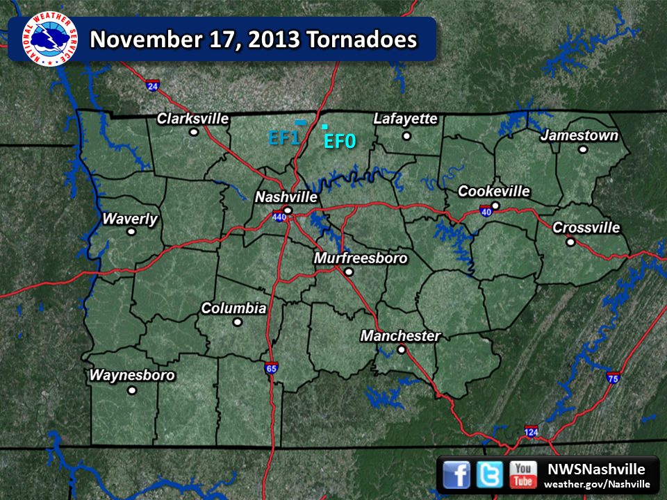
November 17, 2013 track map

Tornado Statistics
# Counties Rating Time (CST) Length (miles) Width (yards) Fatalities Injuries
1 Robertson EF1  6:31pm  1 100 0 0
2 Sumner EF0  6:41pm  0.5 50 0 0


Overview
A potent storm system tracked across the Great Lakes region, Lower Ohio Valley region, and into Middle Tennessee late Sunday night.  A thin line of strong to severe thunderstorms tracked across northern Middle Tennessee between roughly 5-8pm Sunday night, November 17, 2013.  One cell, in particular, tracked across northern Robertson county and into Sumner county.  This storm embedded in the line produced one EF-1 tornado near the town of Orlinda in Robertson county, as well as an EF-0 tornado in Portland in northwest Sumner county.  Storm survey details are below.


Reports & Outlooks
SPC Storm Reports SPC Event Archive Original Tornado Track Map


EF1 Orlinda Tornado
Counties:  Robertson
Time: 6:31pm - 6:32pm CST
EF Scale: EF-1
Wind Speed Estimate: 90 MPH
Damage Path Length: 1 mile
Damage Path Width: 100 yards
Fatalities: 0
Injuries 0

Damage:

An EF-1 tornado touched down briefly on the southeast side of Orlinda Sunday evening.  The brief tornado touched down along Robertson Rd., where it caused roof damage to homes, as well as blew out windows.  The tornado tracked east about a mile, causing additional damage to homes along its path before lifting along Pleasant Hill Rd.

Photos:


EF0 Portland Tornado
Counties:  NW Sumner
Time: 6:41pm - 6:42pm CST
EF Scale: EF-0
Wind Speed Estimate: 70 MPH
Damage Path Length: 0.5 mile
Damage Path Width: 50 yards
Fatalities: 0
Injuries 0

Damage:

An EF-0 tornado touched down briefly on the northwest side of Portland Sunday evening.  The brief tornado ripped the roof off of the fire hall, and tracked east about a half mile before lifting.  The tornado also did minor damage to a few homes, as well as a church.

Photos:


EFScale