Overview ***Preliminary***
During the late afternoon and evening of June 11, 2018, thunderstorms developed near the surface low pressure system over Dodge county and ahead of a cold front that moved through in eastern Nebraska and a warm front that trailed southeast into western Iowa. In-between these fronts, there appeared to be a pre-frontal boundary that was northeast of Lincoln and west of Plattsmouth. Six confirmed tornadoes, large hail to baseball size and damaging winds accompanied the storms.
Tornadoes:
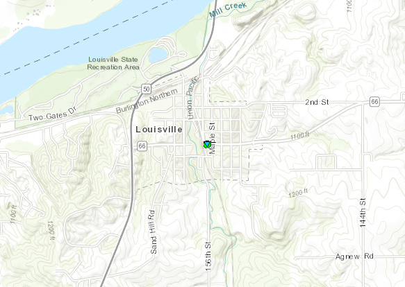
Tornado #1 Near Louisville
CASS COUNTY NE
| Date |
June 11, 2018 |
| Time (Local) |
TBD |
| EF Rating |
EF-0 |
| Est. Peak Winds |
60 MPH |
| Path Length |
0.1 miles |
| Max Width |
10 yards |
| Injuries/Deaths |
0/0 |
|
Summary:
Very brief spin up catured on video that did not seem to cause any damage.
|
Track Map
 
|
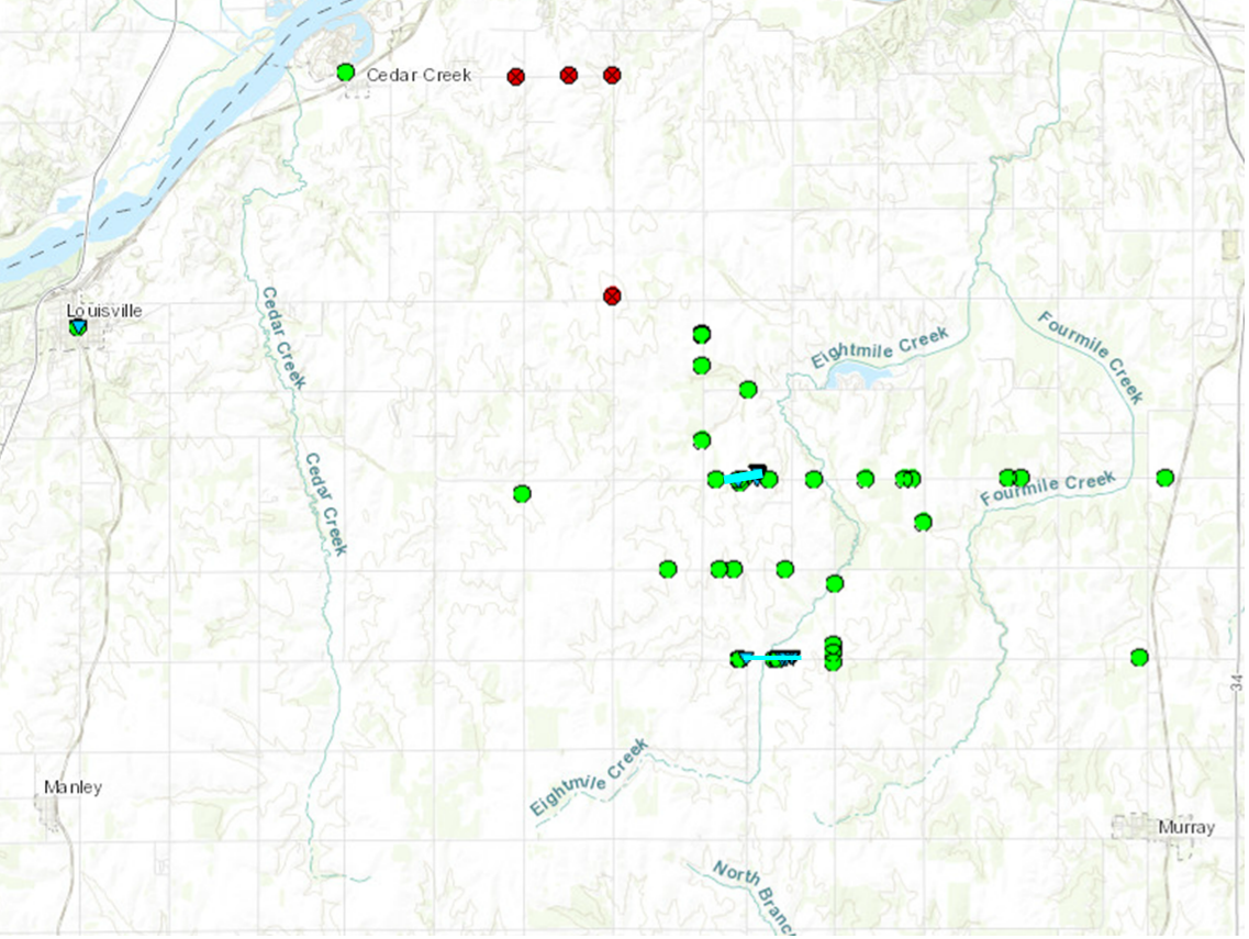
Tornado #2 Between Louisville/Murray North
CASS COUNTY NE
| Date |
June 11, 2018 |
| Time (Local) |
TBD |
| EF Rating |
EF-0 |
| Est. Peak Winds |
75 MPH |
| Path Length |
TBD |
| Max Width |
40 yards |
| Injuries/Deaths |
0/0 |
|
Summary:
Brief tornado caused damage to trees and minor damage to a building at a rural home location. Also caused damage at a nearby home location where a couple of buildings and trees received damage. Additional data analysis will be needed because this may have been two separate weak tornadoes.
|
Track Map
 
|
Tornado #3 Between Louisville/Murray South
CASS COUNTY NE
| Date |
June 11, 2018 |
| Time (Local) |
TBD |
| EF Rating |
EF-0 |
| Est. Peak Winds |
70 MPH |
| Path Length |
TBD |
| Max Width |
20 yards |
| Injuries/Deaths |
0/0 |
|
Summary:
A brief tornado caused damage to trees. Path length narrow and crops in the area did not show signs of straight line wind damage.
|
Track Map
 
|
Tornado #4 McPaul/West of Thurman
FREMONT COUNTY IA
| Date |
June 11, 2018 |
| Time (Local) |
6:59-7 PM CDT |
| EF Rating |
EF-0 |
| Est. Peak Winds |
82 MPH |
| Path Length |
0.1 miles |
| Max Width |
10 yards |
| Injuries/Deaths |
0/0 |
|
Summary:
Moderate twisting and tearing of tree tops. Several large tree limbs downed from oak and elm trees. Empty tractor trailer moved from mooring blocks. Small, short-lived tornado embedded in broader area of straight-line wind damage.
|
Track Map
.PNG) 
|
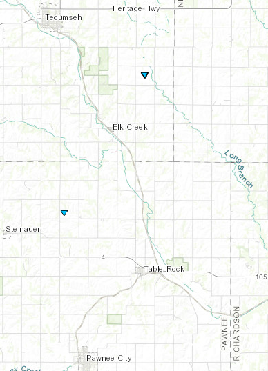
Tornado #5 Elk Creek
JOHNSON COUNTY NE
| Date |
June 11, 2018 |
| Time (Local) |
8:00 - 8:01 PM CDT |
| EF Rating |
EF-0 |
| Est. Peak Winds |
72 MPH |
| Path Length |
.1 miles |
| Max Width |
10 yards |
| Injuries/Deaths |
0/0 |
|
Summary:
Short-lived tornado touched down in pastureland. Slight damage to hardwood trees.
|
Track Map
 
|
Tornado #6 Near Steinauer/Table Rock
PAWNEE COUNTY NE
| Date |
June 11, 2018 |
| Time (Local) |
8:05 PM CDT |
| EF Rating |
EF-0 |
| Est. Peak Winds |
74 MPH |
| Path Length |
0.0 miles |
| Max Width |
10 yards |
| Injuries/Deaths |
0/0 |
|
Summary:
Short-lived tornado touched down in pastureland. Slight damage to hardwood trees.
|
Track Map
 
|
The Enhanced Fujita (EF) Scale classifies tornadoes into the following categories:
EF0
Weak
65-85 mph |
EF1
Moderate
86-110 mph |
EF2
Significant
111-135 mph |
EF3
Severe
136-165 mph |
EF4
Extreme
166-200 mph |
EF5
Catastrophic
200+ mph |
 |


.PNG)


