


|
Mon / Wed / Fri
|

Tropical Depression Two is expected to gradually strengthen and could bring tropical storm conditions to the Florida Panhandle beginning late Monday. Areas of flash flooding will be possible through Thursday along the eastern and central Gulf Coast. Severe thunderstorms will develop and move along a cold front crossing the Upper Midwest Monday, and through the Ohio Valley/Mid-Atlantic on Tuesday. Read More >
|
||||||
|
|
Mon / Wed / Fri
|
| Baltimore-Washington KLWX Radar | |
 (loop) |
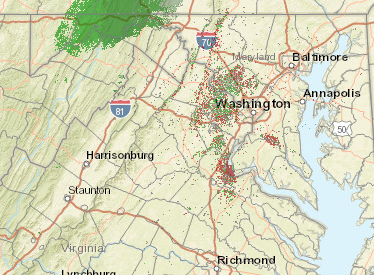 (loop) |
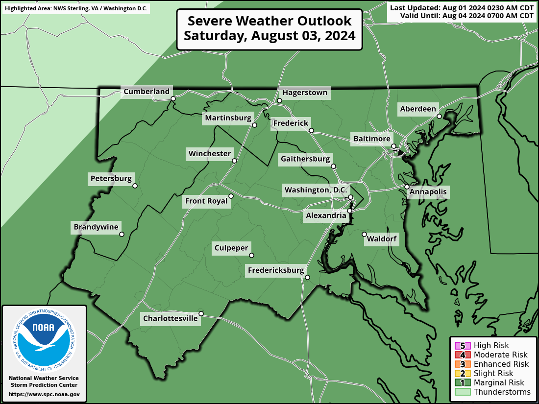
| Storm Prediction Center (SPC) Severe Weather Outlook Graphics | ||
|
Thumbnails may not be representative of the latest forecast since each picture is derived from
the 12 UTC issuance and each 'day' has its own update times throughout the day, so click on the picture to view the latest graphic. |
||
|
Day 1 Outlook
 |
Day 2 Outlook
 |
Day 3 Outlook
 |
|
Day 1 Outlook
 |
Day 2 Outlook
 |
Day 3 Outlook
 |
|
||||||||||||||||||
| _____________________________________________________________ | ||||||||||||||||||
|
||||||||||||||||||
| _____________________________________________________________ | ||||||||||||||||||
|
||||||||||||||||||
| _____________________________________________________________ | ||||||||||||||||||
|
||||||||||||||||||
| _____________________________________________________________ | ||||||||||||||||||
|
||||||||||||||||||
| _____________________________________________________________ | ||||||||||||||||||
|
||||||||||||||||||
| _____________________________________________________________ | ||||||||||||||||||
|
||||||||||||||||||
|
||
| _____________________________________________________________ | ||
| Hurricane Local Statement Issued by NWS Baltimore-Washington (if available) |
||
| - | ||
| Training - Community Hurricane Preparedness | ||
| - | ||
| NWS Hurricane Resources | ||
|
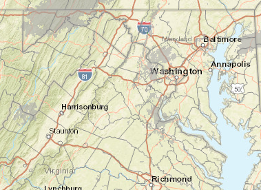
Local Forecast Graphics
|
| Drought Monitor | ||||
 |
||||
|
||||
Monthly & Seasonal Drought Outlook From the Climate Prediction Center |
||||
|
||||
|
|||||||||||||||||||||||||||||||


 Coastal Flood
 FAQ
FAQ