Current Weather Observations... |
| Location |
Time
(CDT) |
Weather |
Vsby.
(SM) |
Temp.
(ºF) |
Dewpt.
(ºF) |
Hum.
(%) |
Wind
(mph) | Wind Chill / Heat Index
(ºF) | Pres.
(in) |
| Baton Rouge LA | 04:15 | Mostly Cloudy | 10 | 79 | 77 | 93 | E 9 | - | 29.84 |
| Biloxi MS | 03:55 | Mostly Cloudy | 10 | 81 | 75 | 83 | S 13 | - | 29.89 |
| Gulfport MS | 03:53 | Mostly Clear | 10 | 82 | 77 | 84 | SSE 15G24 | - | 29.91 |
| Hammond LA | 04:35 | Overcast | 10 | 80 | 77 | 89 | SE 7 | - | 29.88 |
| Houma LA | 18:47 | Overcast | 2 | 80 | 78 | 94 | NNE 29G32 | - | 29.66 |
| McComb MS | 04:28 | Mist | 4 | 78 | 75 | 90 | ESE 5 | - | 29.91 |
| New Orleans LA | 03:53 | Mostly Cloudy | 8 | 82 | 76 | 81 | SSE 14G23 | - | 29.86 |
| Slidell La | 03:53 | Overcast | 10 | 83 | 74 | 74 | SSE 15 | - | 29.88 |
| |


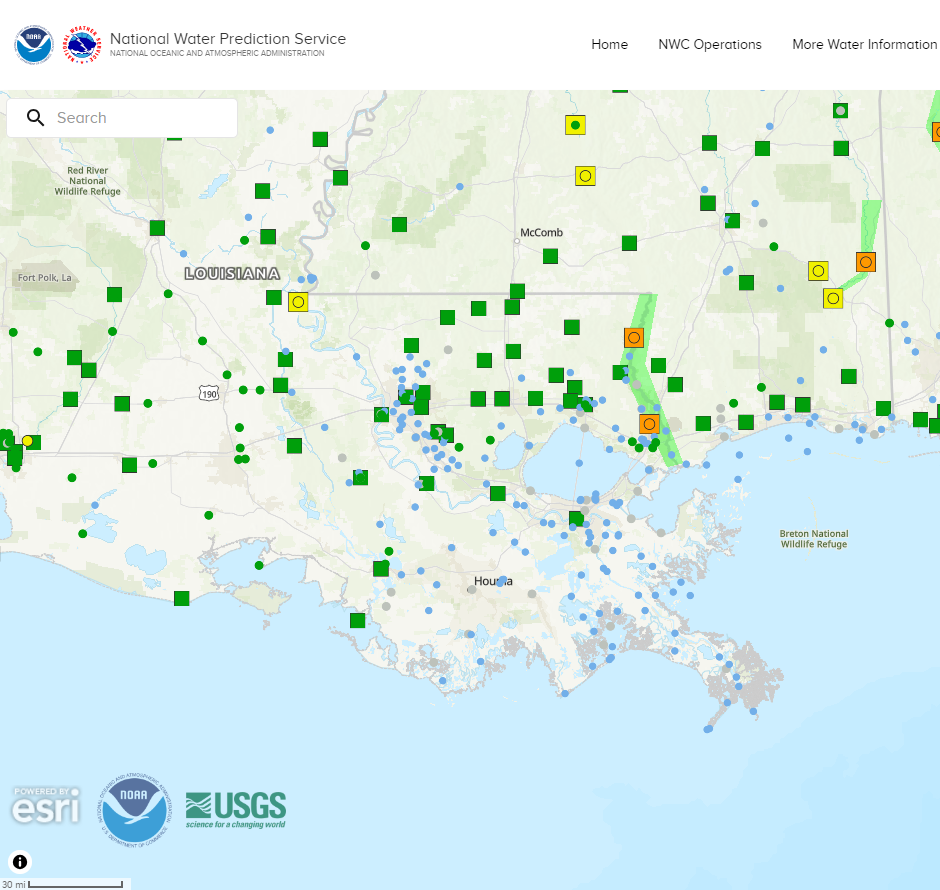


 Weather Map
 Tropical Weather Outlook
 Graphical HWO
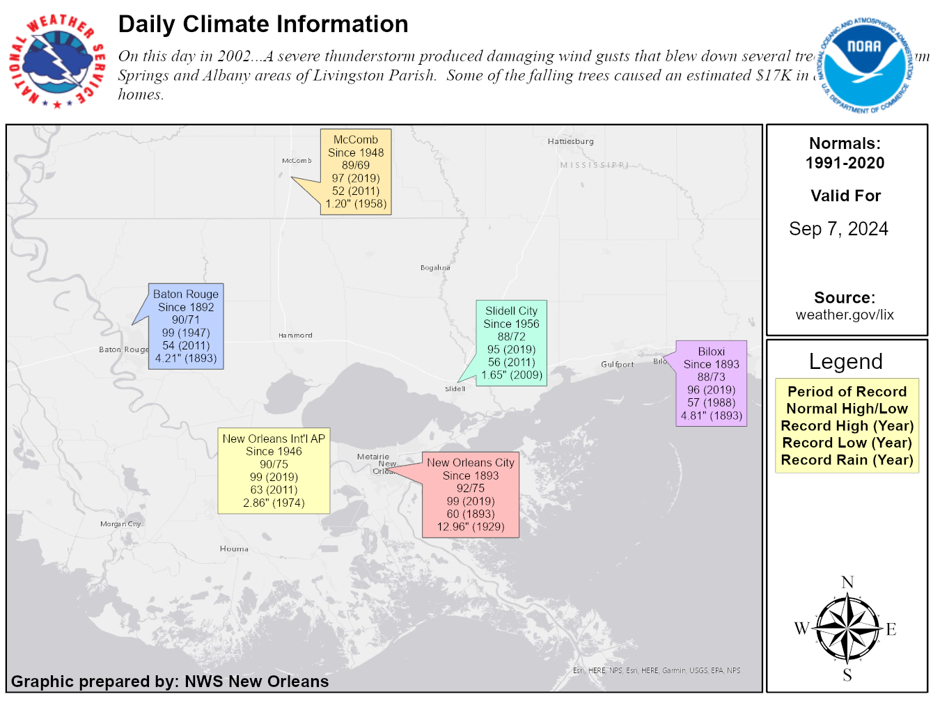 Climate Data for Today