
Record setting heat is expected over the next several days from the Intermountain West through the northern Plains. Furthermore, fire weather concerns increase with dry and breezy conditions. Meanwhile, heavy rainfall and severe thunderstorm threats for the Ohio/Tennessee Valleys, central Appalachians and Southeast today. The threat shifts to central Gulf Coast and across central Texas this week. Read More >
Overview
|
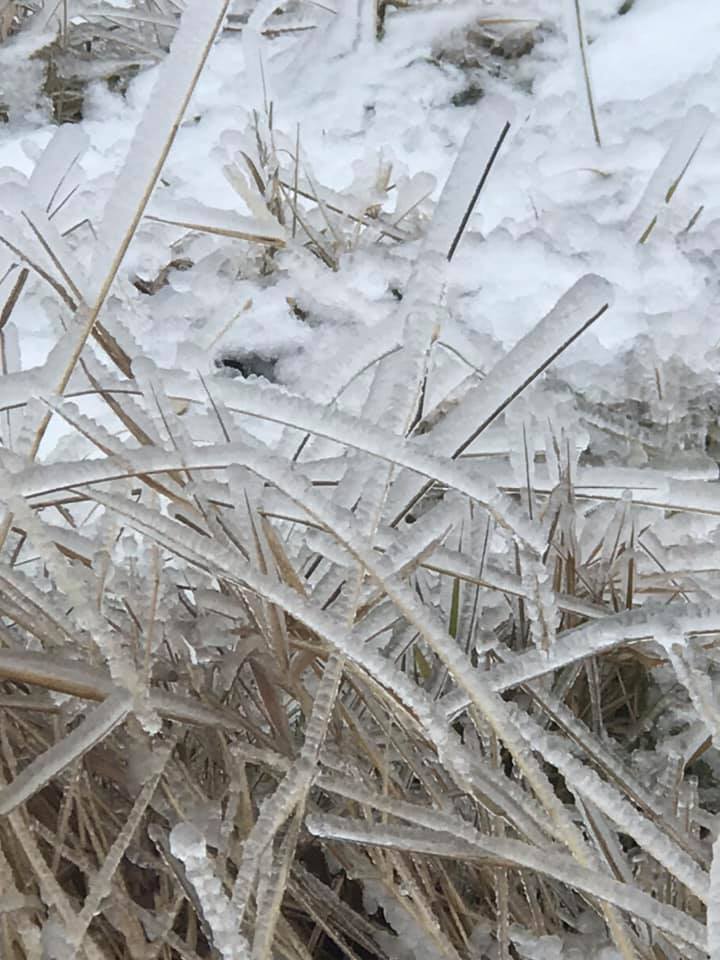
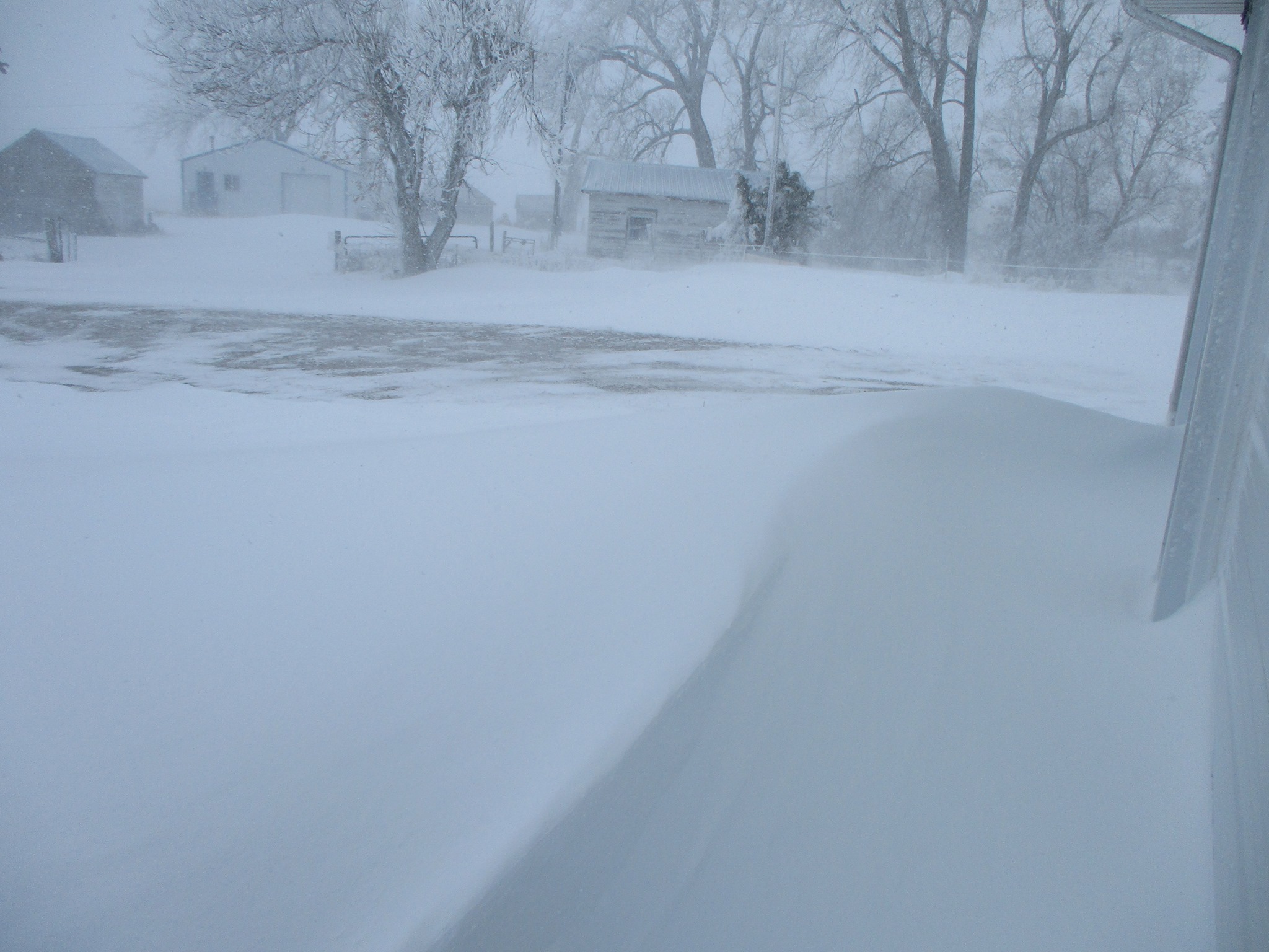
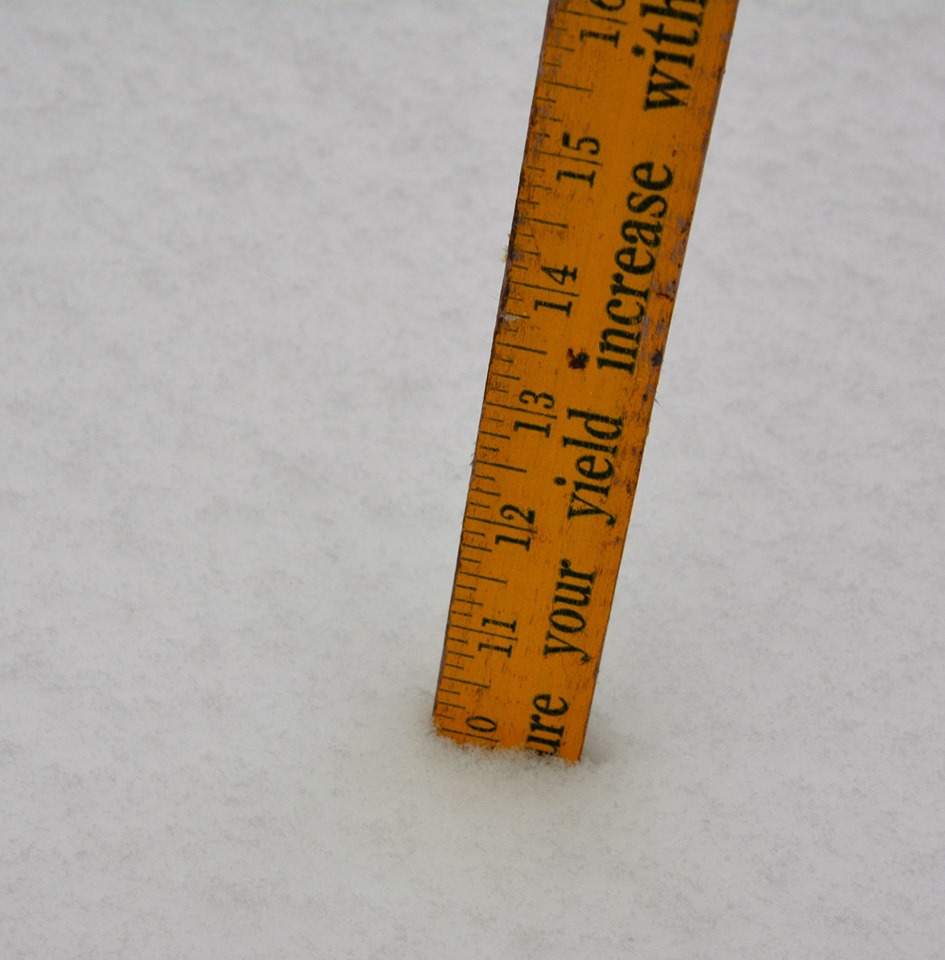
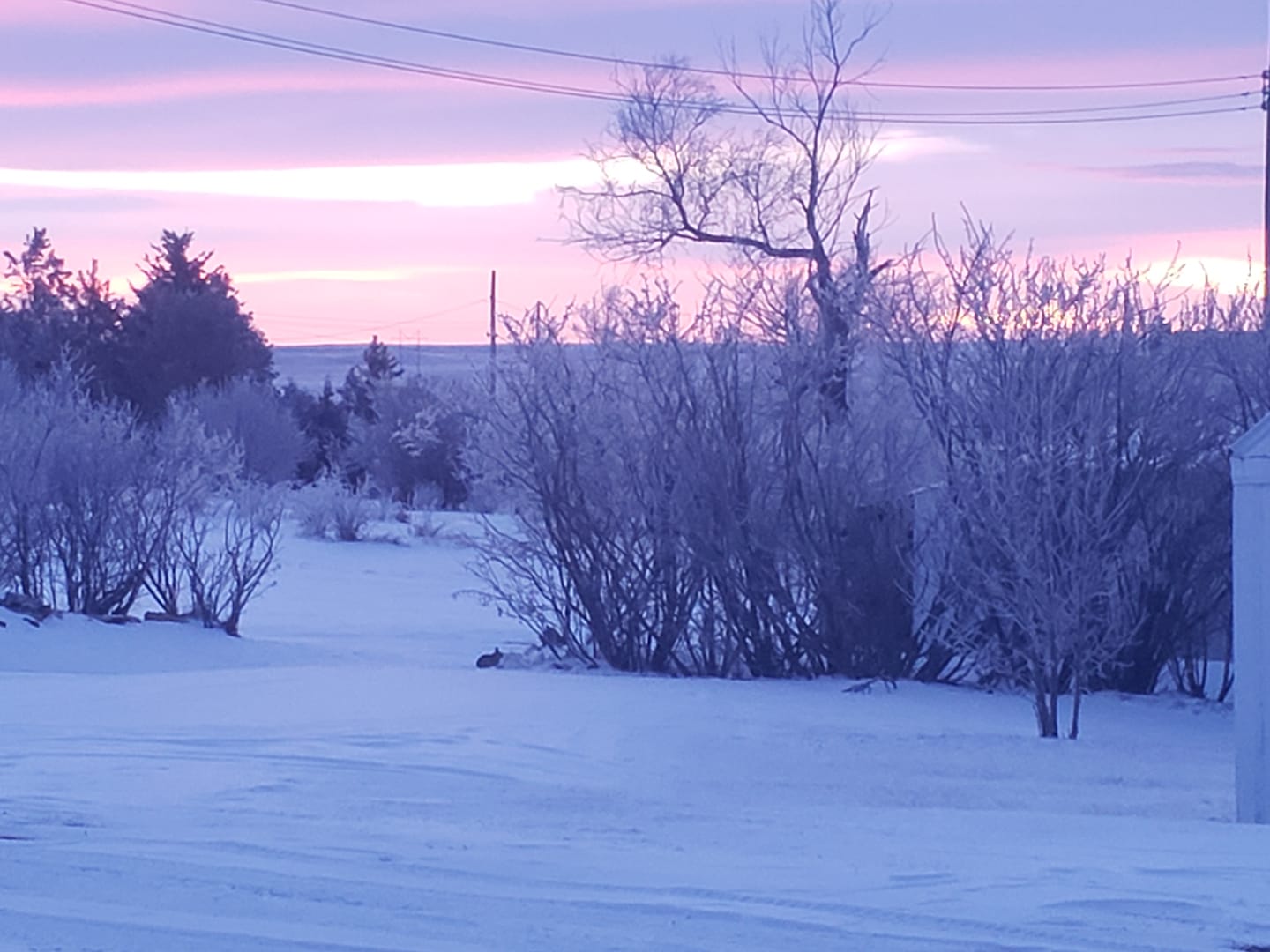
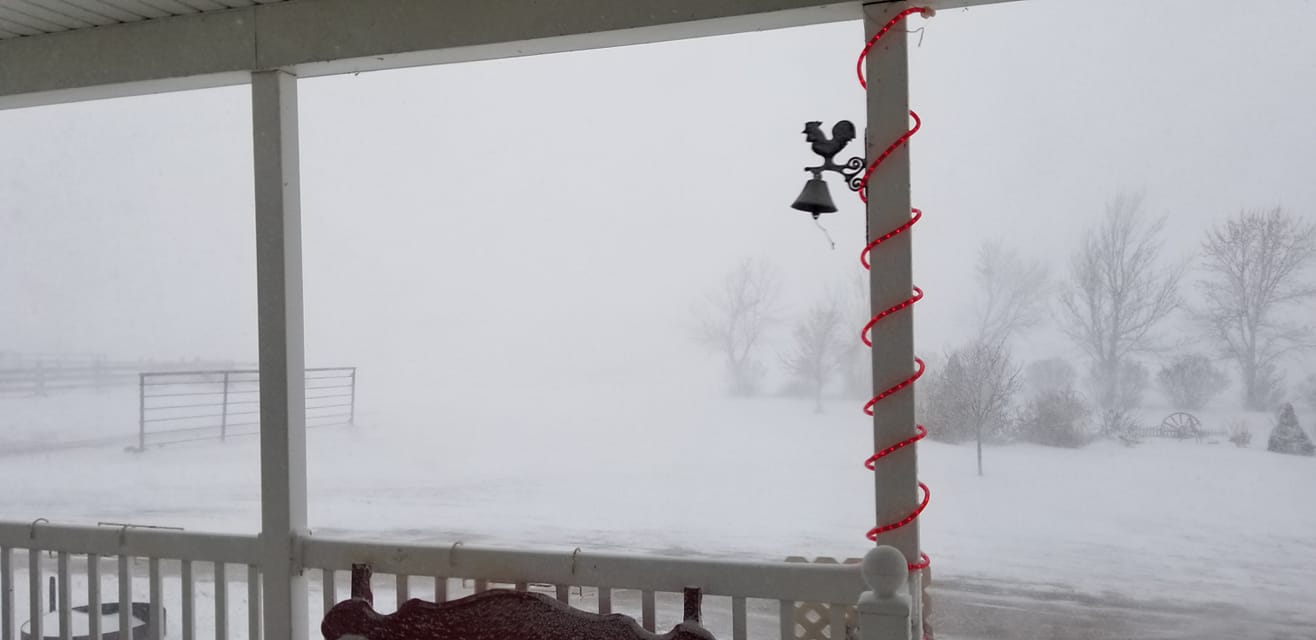
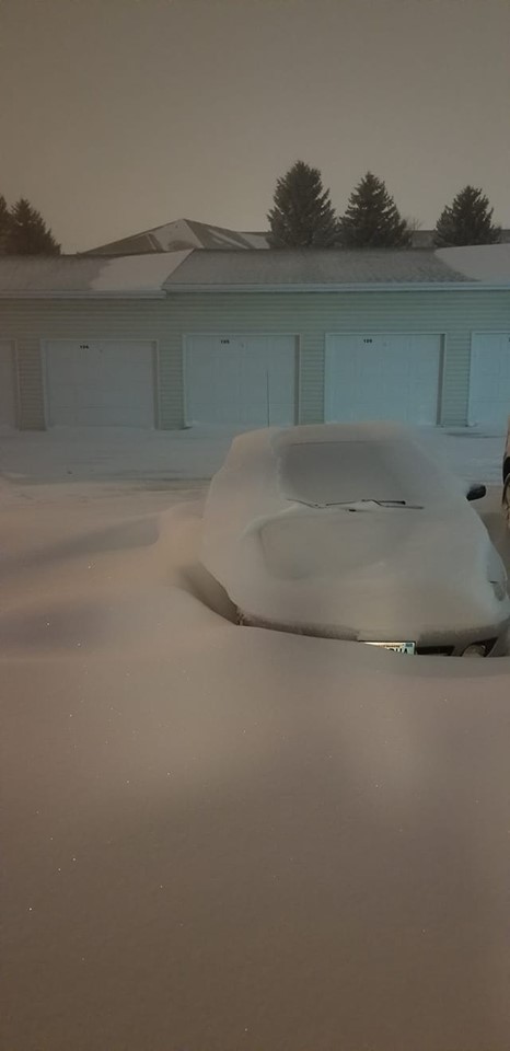
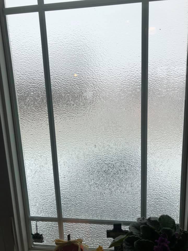
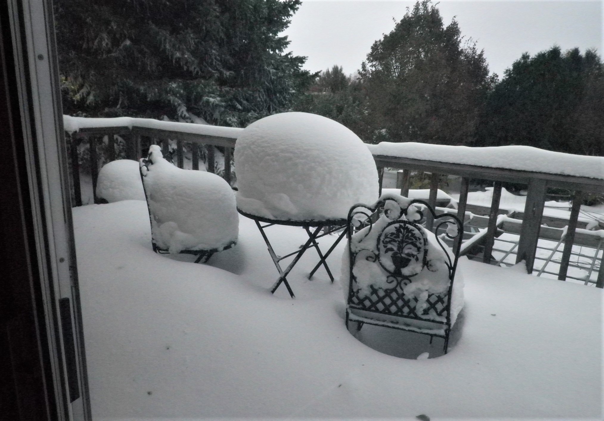
A powerful mid latitude cyclone made landfall over the western United States and eventually made its way into the central and northern Plains over the Thanksgiving Holiday weekend. Freezing drizzle and some light snow began to fall across parts of western and central North Dakota on Thanksgiving evening, continuing through much of the day on Friday. As the brunt of the storm continued to slowly push north and east, snowfall rates increased across the south on Friday evening, with heavy snow developing across most of the southern half of the state late Friday night and through much of the day on Saturday. Further north and west, the atmosphere was slower to saturate and a prolonged period of light freezing rain and freezing drizzle continued through much of the event. When all was said and done, much of the south saw 6 to 15 inches of snowfall accumulation while portions of the west and north saw ice accumulations of over a quarter inch. |
.png) Analyzed Snowfall Totals |
Photos & Video
 |
 |
 |
 |
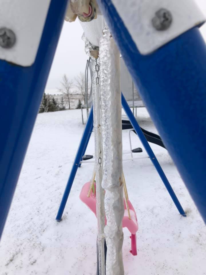
| Ice Accumulation - Sherwood, ND (Penny Volosin) |
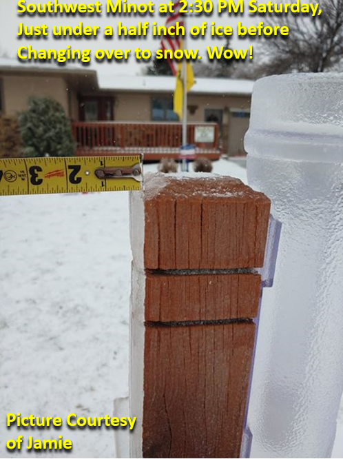
Ice Accumulation - Minot, ND (Jamie Hyatt) |
Snowfall - Southwestern Dickey County, ND (Bette Wagner) |
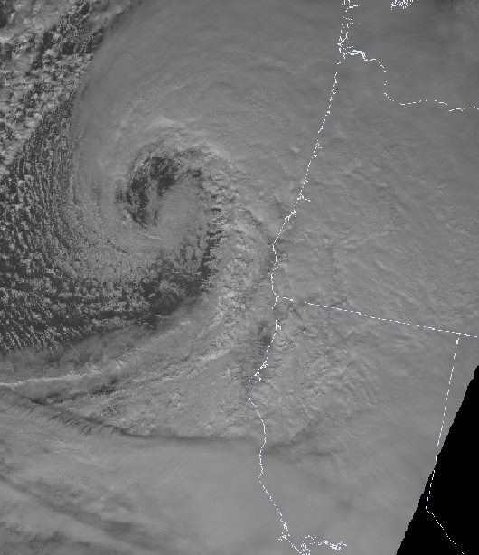
1-minute Satellite Imagery as the Storm was About to Make Landfall Along the Western Coast of the US. |
 |
 |
 |
 |
|
Snowfall - Near Huff, ND
(Becky Graner) |
Snowfall and Ice - Gascoyne, ND
(Casey Herring)
|
Snowfall - Wishek, ND
(Janet Wolff)
|
Snowfall - Oakes, ND
(Ricus Nellis)
|
 |
 |
 |
 |
|
Snowfall - Bismarck, ND
(Adam Wegener)
|
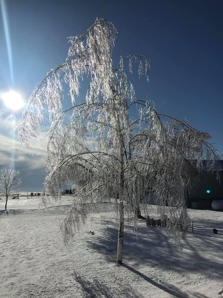
Ice Accumulation - Southeast of Minot, ND
(Alan Lick)
|
Ice Accumulation - Southeast of Minot, ND
(Alan Lick)
|
Snowfall - Northeast Bismarck
(CK Nikiforoff)
|
 |
 |
 |
|
|
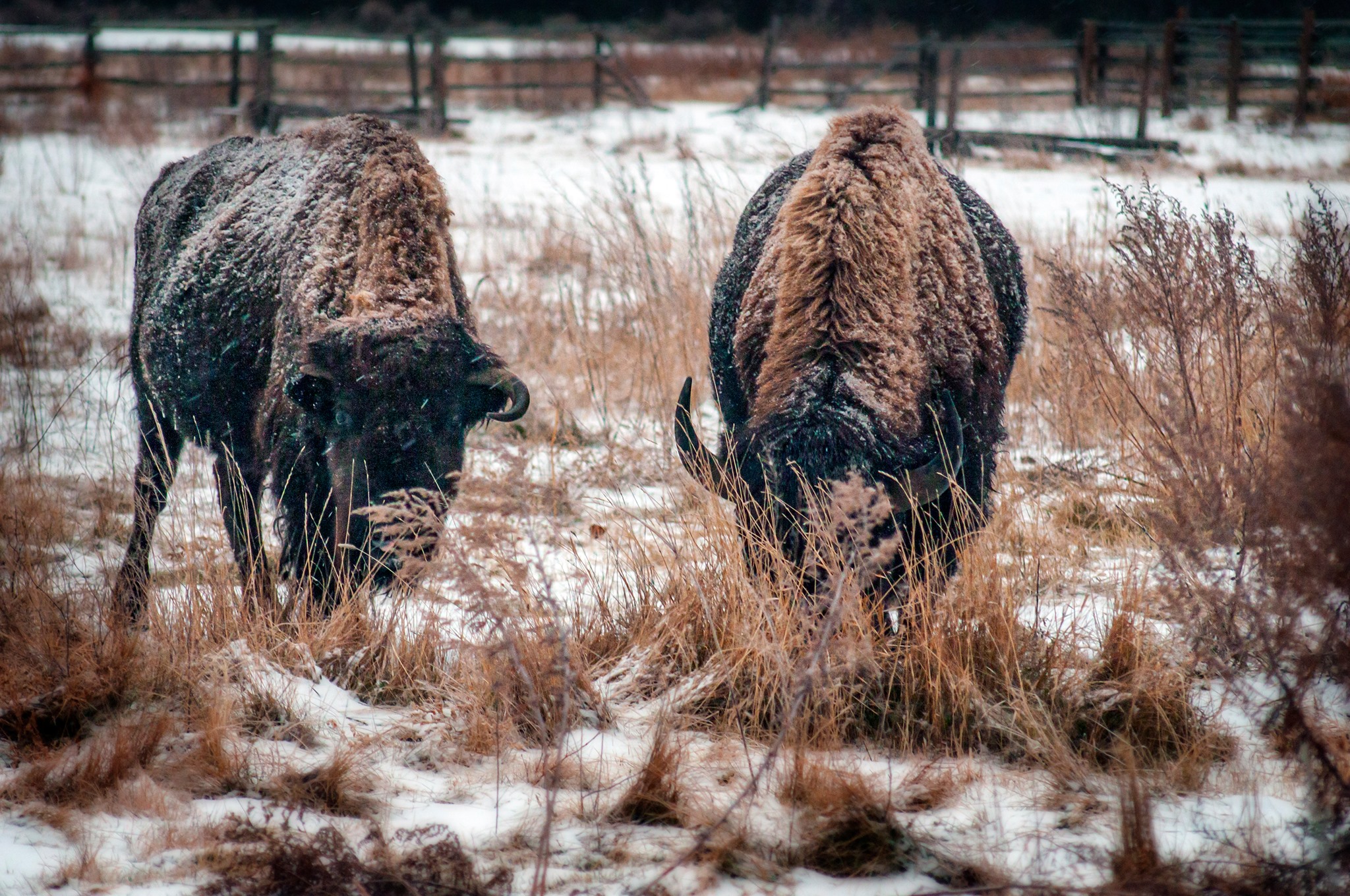
Snow and Ice - Teddy Roosevelt National Park South Unit
(Mike Kopp)
|
Ice Accumulation - Minot, ND
(Tim Sandstrom)
|
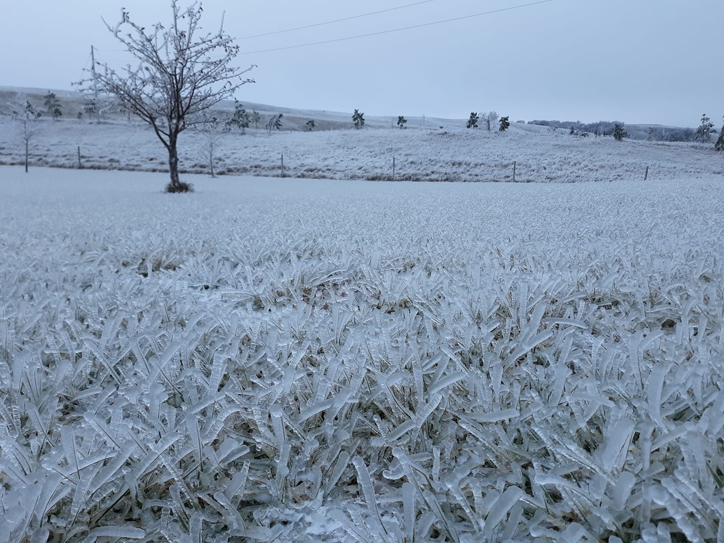
Ice Accumulation - South of Kenmare, ND
(Rory Stroklund)
|
Storm Reports
...SNOWFALL REPORTS...

Location                     Amount    Time/Date
Kulm                         13.0 in   0800 AM 12/01
Ellendale                    13.0 in   0313 PM 11/30
2 W Fort Yates               12.5 in   0800 AM 12/01
1 N La Moure                 11.0 in   0141 PM 12/01
Selfridge                    11.0 in   0800 AM 12/01
Linton                       11.0 in   1246 AM 12/01
1 NNW Bismarck               10.0 in   1000 PM 11/30
Edgeley 5.2 NW               9.9 in    0800 AM 12/01
New Salem 13.7 SSE           9.5 in    0800 AM 12/01
Cleveland                    9.0 in    0338 AM 12/01
2 E Rhame                    8.0 in    1233 PM 12/01
Bismarck Airport             8.0 in    1018 PM 11/30
Montpelier 3.3 ESE           7.3 in    0700 AM 12/01
New England                  6.0 in    0206 PM 11/30
Dickinson                    5.3 in    0700 AM 12/01
Heart Butte Dam              5.2 in    0700 AM 12/01
Taylor 7 NNW                 5.0 in    0800 AM 12/01
Jamestown                    5.0 in    0600 AM 12/01
Glen Ullin                   3.8 in    0630 PM 11/30
Hazen                        3.5 in    1021 AM 12/01
South Heart 4.9 WNW          3.5 in    0700 AM 12/01
Marshall 2 W                 3.0 in    0800 AM 12/01
Underwood                    2.5 in    0808 AM 12/01
1 WNW Velva                  2.5 in    0800 AM 12/01
Harvey                       2.5 in    0322 PM 11/30
Beach                        2.0 in    0800 AM 12/01

...FREEZING RAIN REPORTS...

Location                     Amount    Time/Date
2 E Rhame                    0.38 in   1231 PM 12/01
Alexander                    0.38 in   0409 PM 11/30
Portal                       0.25 in   0103 PM 11/30
Sherwood                     0.25 in   0102 PM 11/30
Killdeer                     0.25 in   1252 PM 11/30

Observations are collected from a variety of sources with varying
equipment and exposures. We thank all volunteer weather observers
for their dedication. Not all data listed are considered official.
 |
Media use of NWS Web News Stories is encouraged! Please acknowledge the NWS as the source of any news information accessed from this site. |
|

