
Tropical Depression Two is expected to gradually strengthen and could bring tropical storm conditions to the Florida Panhandle beginning late Monday. Areas of flash flooding will be possible through Thursday along the eastern and central Gulf Coast. Severe thunderstorms will develop and move along a cold front crossing the Upper Midwest Monday, and through the Ohio Valley/Mid-Atlantic on Tuesday. Read More >
Overview
|
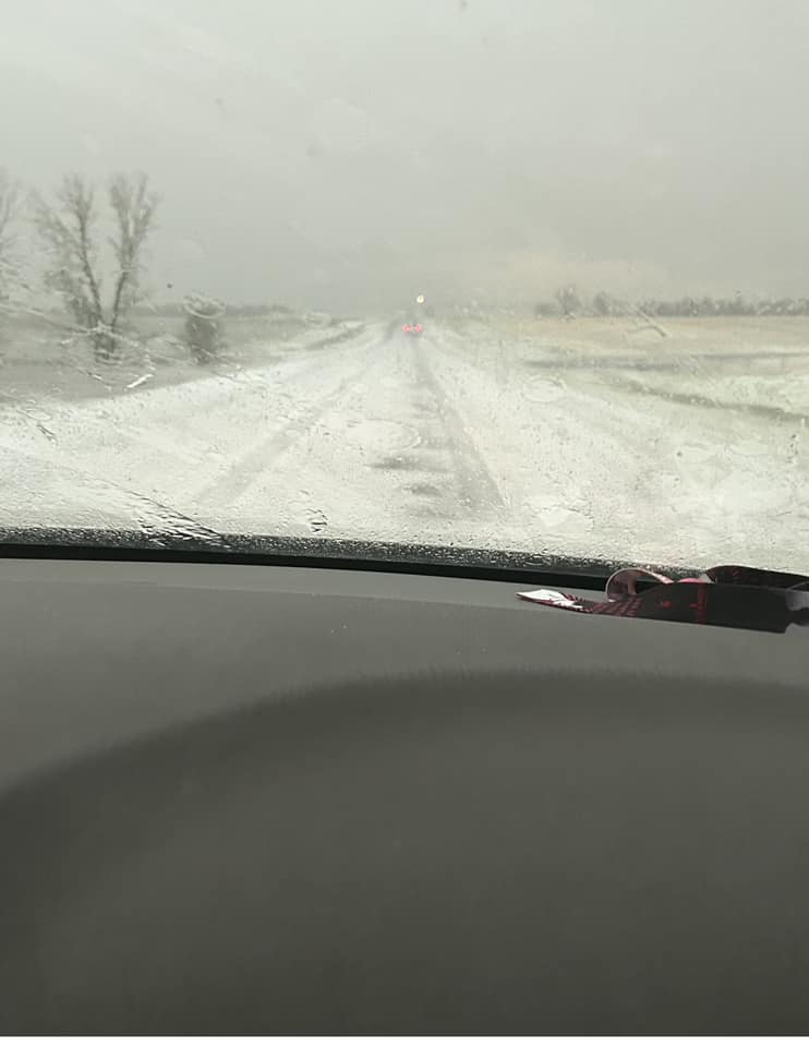
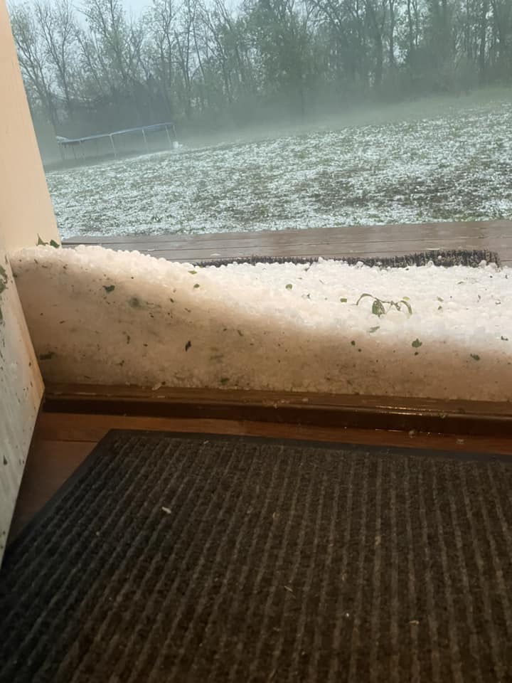
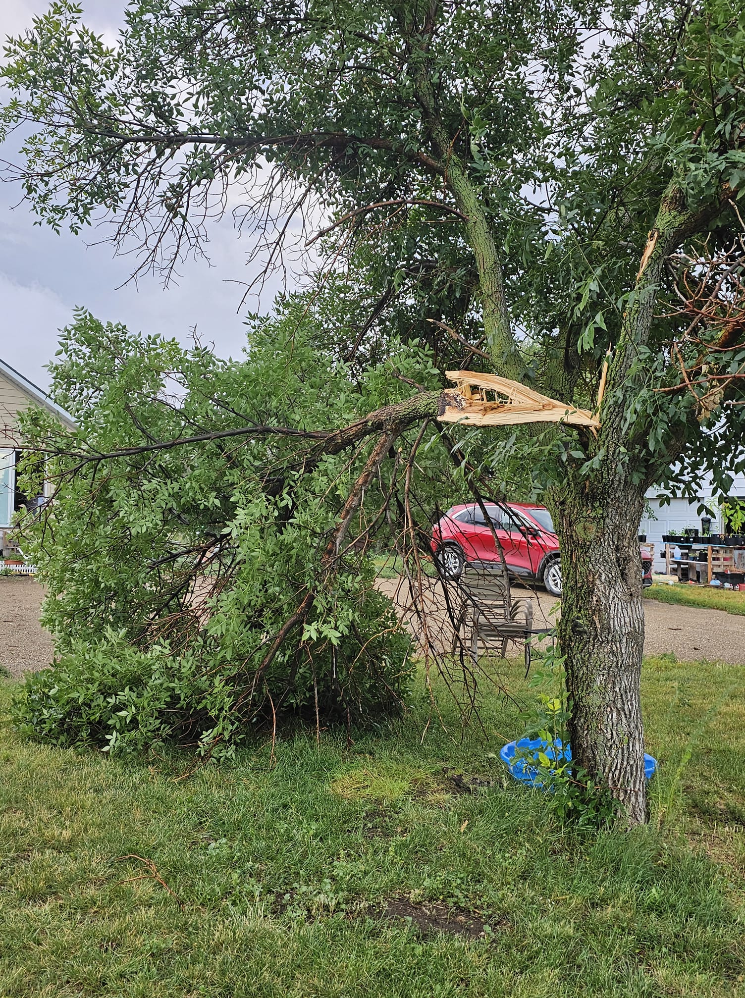
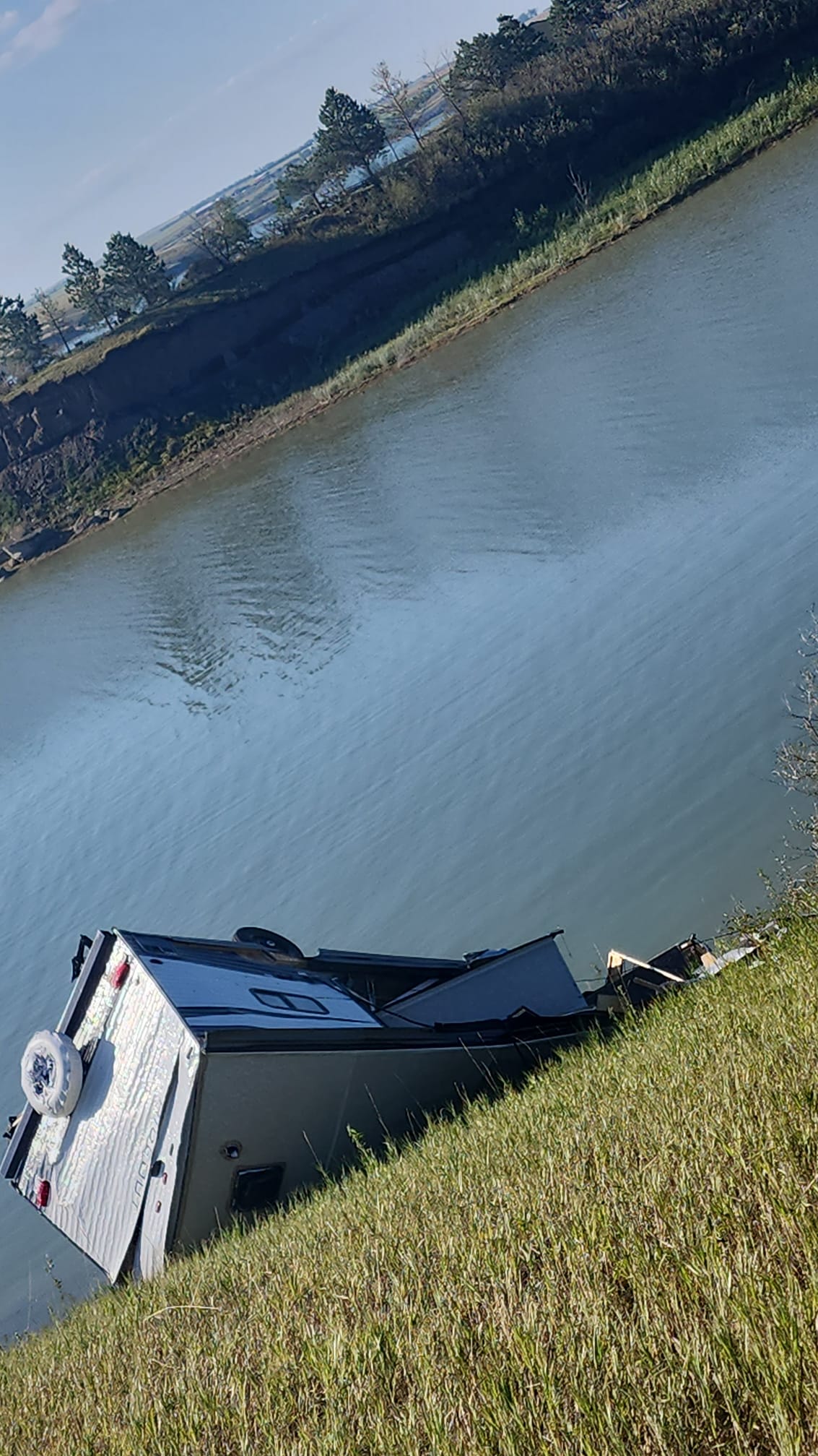
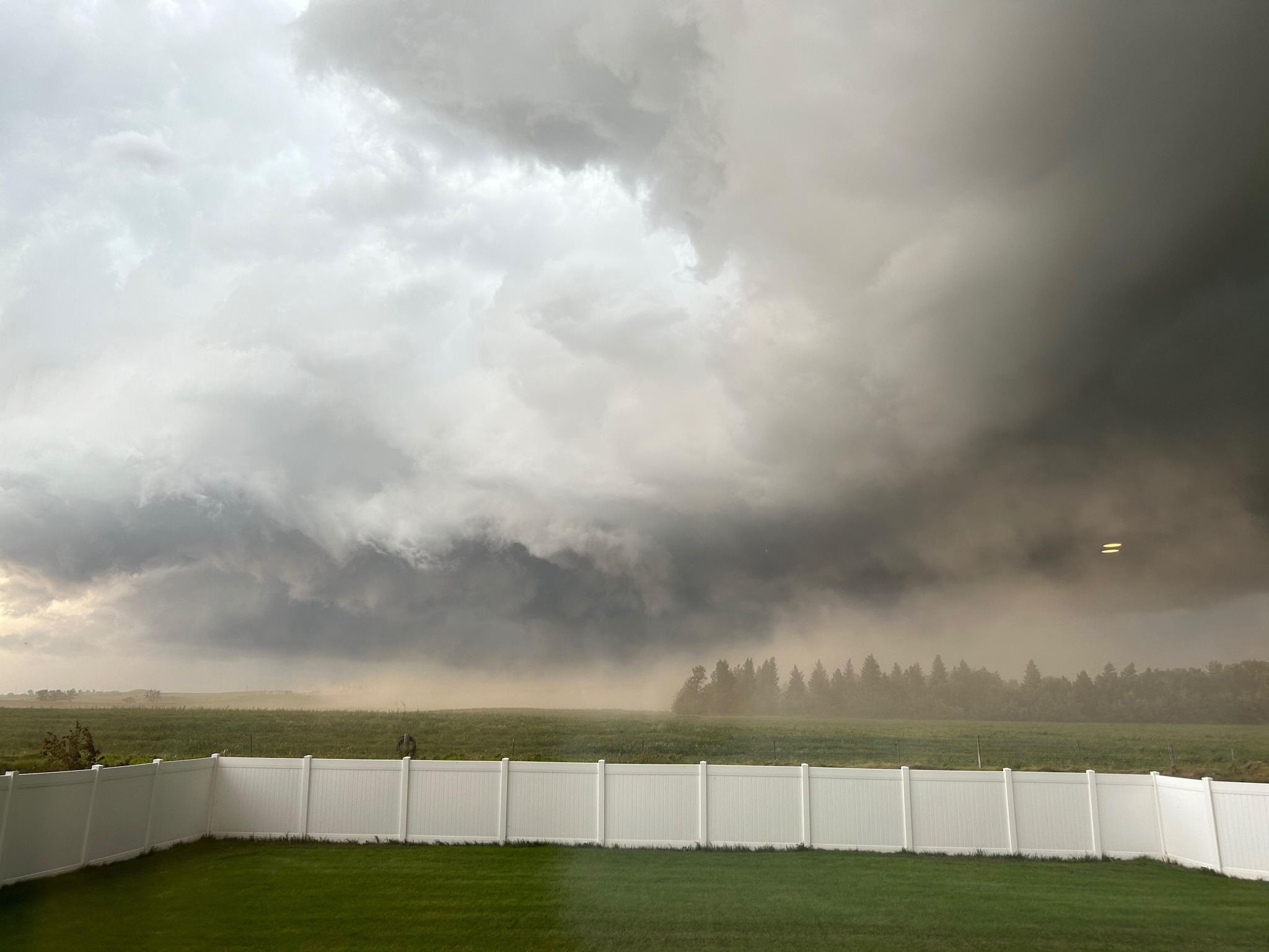
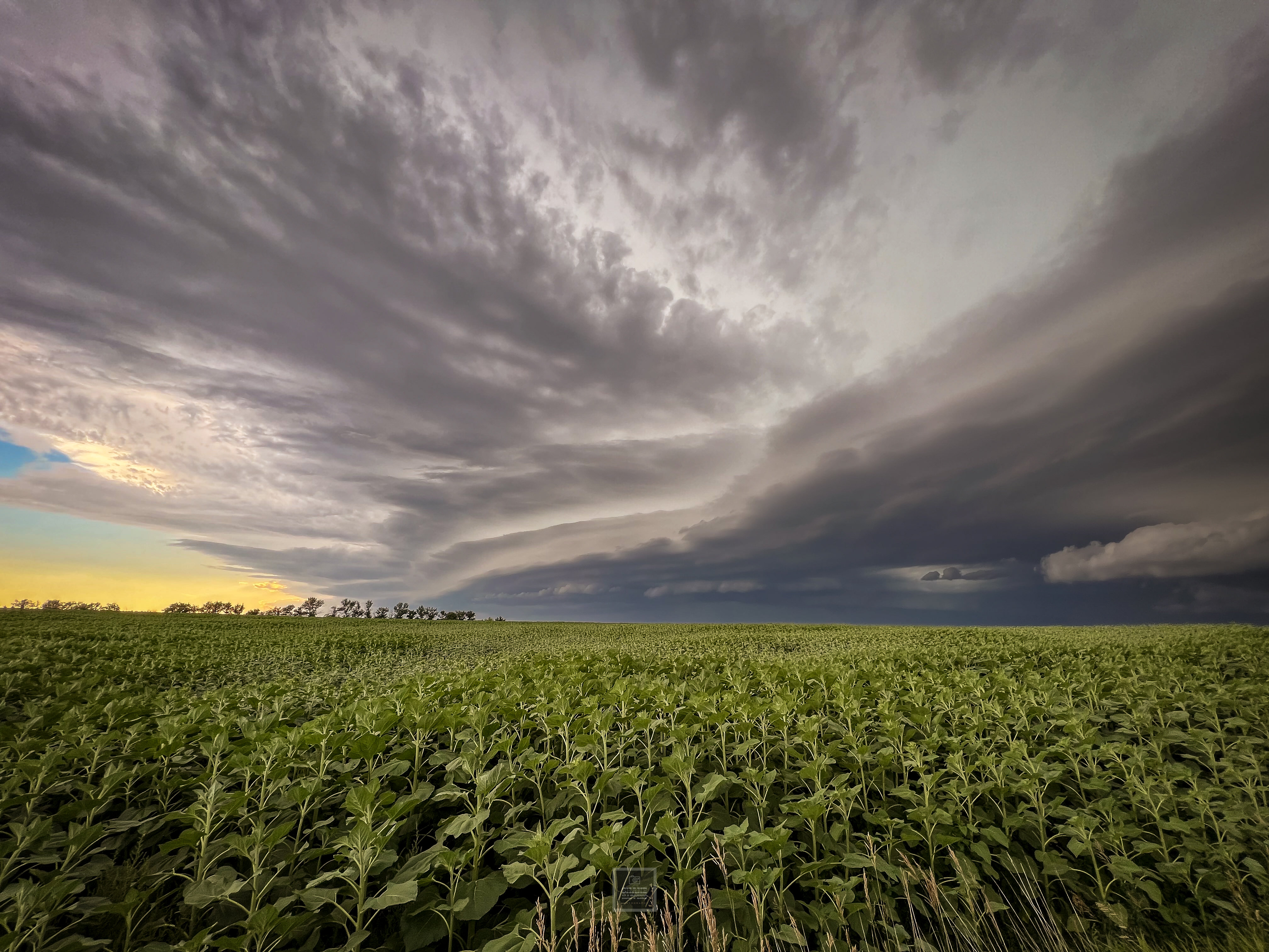
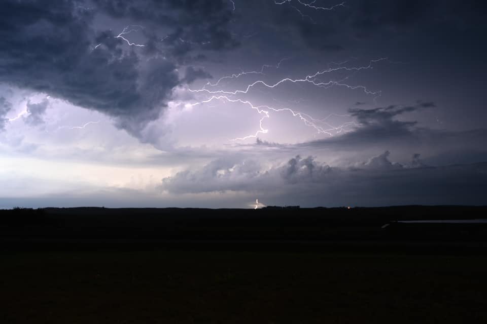
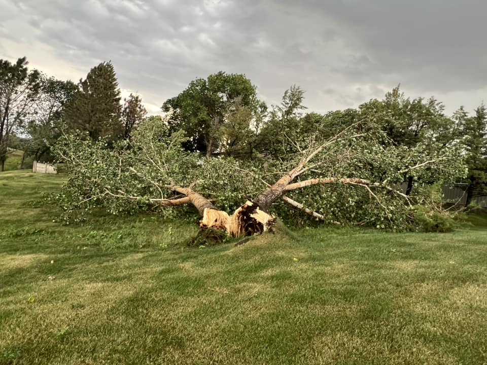
During the late afternoon and evening hours on August 1, 2023, severe thunderstorms impacted parts of northwest and central North Dakota. Significant wind damage occurred near Lake Sakakawea, especially at the Hazen Bay and Beulah Bay areas where campers were flipped over and several large trees were uprooted. Large hail up to the size of golf balls was reported with multiple storms, and in some cases combined with strong winds to cause damage to siding and windows. The hail and winds also caused very extensive damage to crops from near the Missouri River east of Williston through western McLean and northern Mercer Counties. A brief tornado was reported near Wilton, but is not known to have caused any damage. |
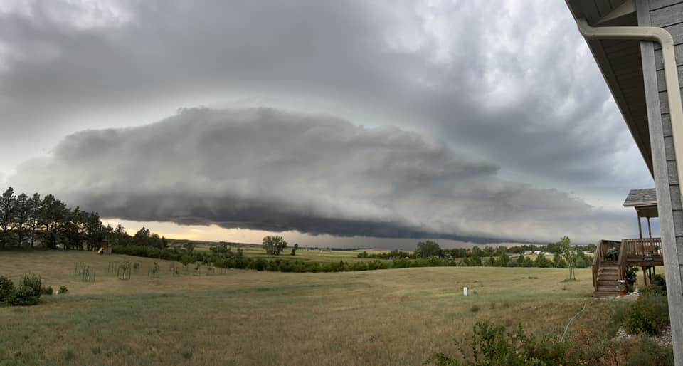 Thunderstorm approaching New Hradec, North Dakota (Photo courtesy of Cameron Whitfield Lorge) |
Photos & Video
Header
 |
 |
 |
 |
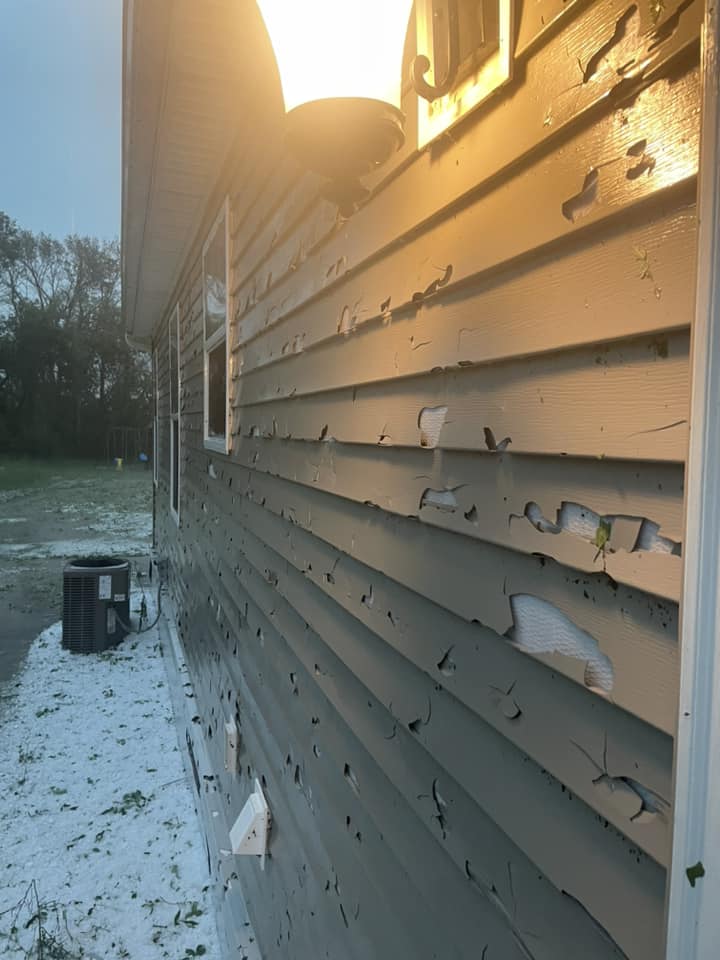
| Siding damage to a house north of Hazen (Courtesy of Kelsey Hermanson Ehlers) |
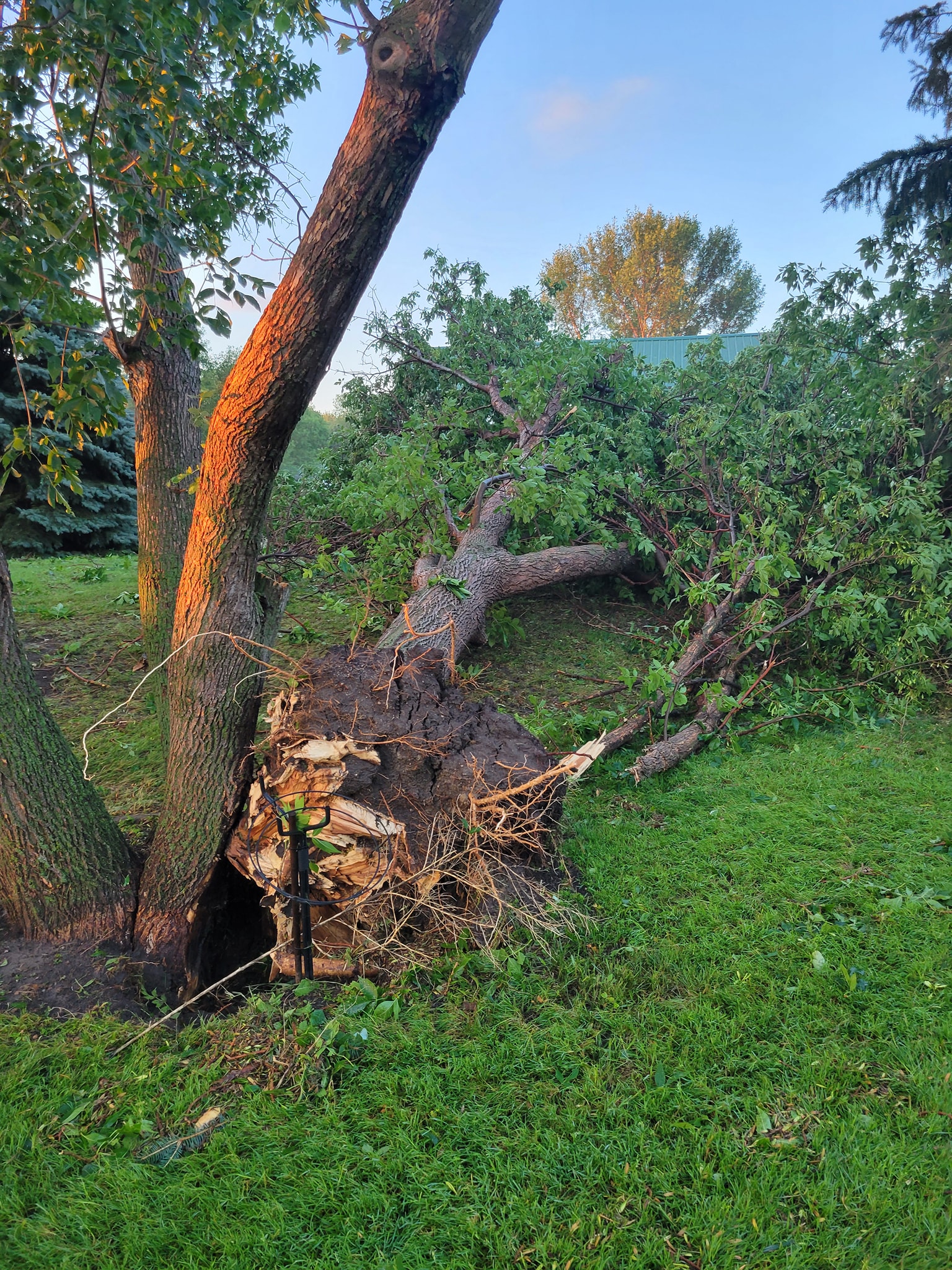
Downed tree in Beulah Bay (Courtesy of Bob Hafner) |
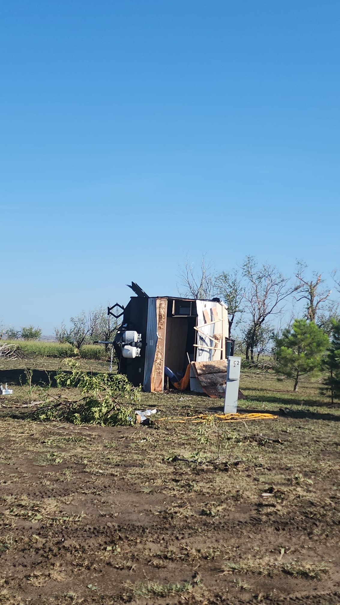
Damage in Beulah Bay (Courtesy of Lexy Emter) |
Hail covering the ground in Hazen Bay (Courtesy of Tasia Wiest) |
 |
 |
 |
 |
| Hail piled up at a house north of Hazen (Courtesy of Kelsey Hermanson Ehlers) |
Tree damage in Alexander (Courtesy of Sheila Cockerham) |
Damage in Beulah Bay (Courtesy of Lexy Emter) |
Storm moving into Dickinson |
 |
 |
 |
 |
| Storm moving into Marshall (Courtesy of Shane Ornelas) |
Thunderstorm near Lehr (Courtesy of Shelly Glaesman) |
Downed tree in Tobacco Gardens (Courtesy of Cindy Wollan) |
Damage in Hazen (Courtesy of Ashley Rasch) |
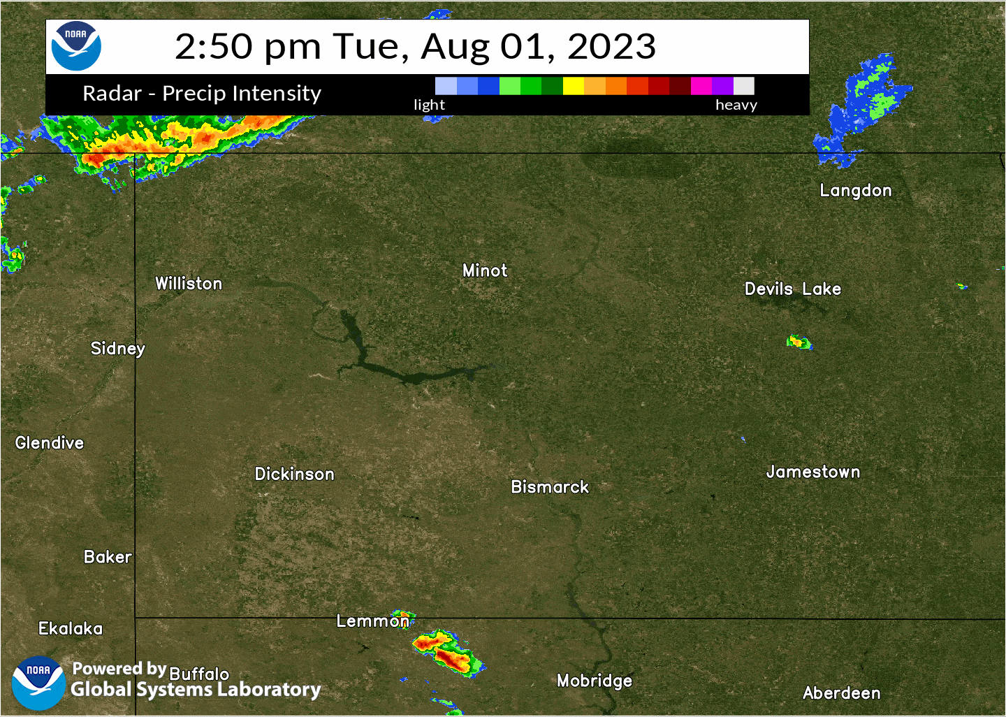
Radar
Storm Reports
Public Information Statement
National Weather Service Bismarck ND
1120 AM CDT Wed Aug 2 2023

...UPDATED LOCAL STORM REPORTS OF PRECIPITATION...HAIL...AND STRONG WINDS
FROM THE SEVERE WEATHER EVENT THAT OCCURRED ON AUGUST 1ST 2023...

...PRECIPITATION REPORTS...

Location                     Amount    Time/Date       Provider
Melville                     4.38 in   0900 PM 08/01   Public
Kensal                       3.75 in   0945 AM 08/02   Public
2 SSE Manning                3.50 in   0953 AM 08/02   Public
5 NW Huff                    2.40 in   0908 AM 08/02   Public
3 S Bismarck                 2.37 in   1045 AM 08/02   Public
4 SW Mandan                  2.32 in   0853 AM 08/02   Public
1 SE Washburn                2.30 in   0749 AM 08/02   Public
2 S Chaseley                 2.25 in   0803 AM 08/02   Public
Huff Hills                   2.25 in   0830 AM 08/02   CWOP
Manning 1.3 NE               2.25 in   0800 AM 08/02   COCORAHS
Huff                         2.23 in   0731 AM 08/02   Public
3 S Lincoln                  2.23 in   0643 AM 08/02   Public
10 SSE Almont                2.20 in   0928 AM 08/02   Public
5 SW Lincoln                 2.15 in   0729 AM 08/02   Public
Menoken                      2.00 in   0806 AM 08/02   Public
5 N Golden Valley            1.92 in   0730 AM 08/02   Trained Spotter
Fort Rice                    1.89 in   0925 AM 08/02   Public
Carrington 9.1 S             1.86 in   0700 AM 08/02   COCORAHS
6 NE Saint Anthony           1.86 in   0938 AM 08/02   Trained Spotter
Killdeer 5.4 SW              1.78 in   0800 AM 08/02   COCORAHS
21 NNW Jamestown (Arrowwood) 1.76 in   0834 AM 08/02   RAWS
1 W New Salem                1.75 in   0748 AM 08/02   Public
4 NW Hazelton                1.72 in   0645 AM 08/02   CO-OP Observer
3 SW Mandan                  1.70 in   0748 AM 08/02   Public
4 WNW Stanton                1.70 in   0913 AM 08/02   Public
Washburn                     1.70 in   0700 AM 08/02   Public
9 S Kintyre                  1.60 in   0803 AM 08/02   Trained Spotter
Long Lake NWR                1.60 in   0747 AM 08/02   RAWS
Hebron 11.2 NE               1.55 in   0600 AM 08/02   COCORAHS
Mandan                       1.50 in   0723 AM 08/02   Public
1 NE Pettibone               1.40 in   0929 AM 08/02   Public
7 WSW Saint Anthony          1.38 in   0825 AM 08/02   Public
Stanton                      1.31 in   0750 AM 08/02   RAWS
Bismarck 5.7 SSE             1.20 in   0700 AM 08/02   COCORAHS
2 SE Hazen                   1.18 in   0728 AM 08/02   Public
Watford City                 1.15 in   0749 AM 08/02   RAWS
3 SSE Bismarck               1.14 in   0640 AM 08/02   Official NWS Obs
6 ESE Green Lake             1.08 in   0708 AM 08/02   Trained Spotter
1 SSW Chaseley               1.02 in   0900 AM 08/02   Trained Spotter
Beulah 1.2 NNW               1.00 in   0500 AM 08/02   COCORAHS
2 NE Bismarck                1.00 in   1005 AM 08/02   Public

...HAIL REPORTS...

Location                     Size      Time/Date       Provider
Watford City                 1.75 in   0637 PM 08/01   Public
New Town                     1.75 in   0620 PM 08/01   Emergency Mngr
4 WNW Stanton                1.75 in   0845 PM 08/01   Public
6 S Raub                     1.75 in   0711 PM 08/01   Trained Spotter
Epping                       1.50 in   0502 PM 08/01   Public
2 E New Town                 1.50 in   0624 PM 08/01   Public
Hazen                        1.50 in   0831 PM 08/01   Broadcast Media
9 SSW Parshall               1.50 in   0647 PM 08/01   Public
Killdeer                     1.25 in   0737 PM 08/01   Public
Wilton                       1.25 in   0915 PM 08/01   Public
Twin Buttes                  1.25 in   0718 PM 08/01   Broadcast Media
New Town                     1.00 in   0615 PM 08/01   Public
7 SSW Pick City              1.00 in   0757 PM 08/01   Public
6 SW Killdeer                1.00 in   0742 PM 08/01   Trained Spotter
10 NW Charlson               1.00 in   0524 PM 08/01   Public
20 WSW Selfridge             1.00 in   0355 PM 08/01   Public
3 WSW Bismarck               1.00 in   0625 PM 08/01   Broadcast Media
Stanton                      1.00 in   0808 PM 08/01   Trained Spotter
4 WSW Raub                   1.00 in   0659 PM 08/01   Broadcast Media
Washburn                     1.00 in   0852 PM 08/01   Public
3 NE Cross Ranch State Park  1.00 in   0906 PM 08/01   Trained Spotter
5 SW Williston               1.00 in   0547 PM 08/01   Law Enforcement
2 SW Bismarck                1.00 in   0605 PM 08/01   Broadcast Media
Riverdale                    0.88 in   0808 PM 08/01   Public
5 ESE Manning                0.88 in   0830 PM 08/01   Trained Spotter

...HIGHEST WIND REPORTS...

Location                     Speed     Time/Date       Provider
3 NE Cross Ranch State Park  80 MPH    0903 PM 08/01   Trained Spotter
5 SE Kensal (NDAWN)          77 MPH    0730 PM 08/01   NDAWN
1 NW Dickinson (NDAWN)       76 MPH    0838 PM 08/01   NDAWN
5 SE Kensal (NDAWN)          72 MPH    0725 PM 08/01   NDAWN
12 E Mott                    72 MPH    1011 PM 08/01   RAWS
2 W Hazen                    69 MPH    0805 PM 08/01   Mesonet
12 SSE Ray (NDAWN)           67 MPH    0525 PM 08/01   NDAWN
Watford City                 67 MPH    0649 PM 08/01   RAWS
2 E Hazen                    64 MPH    0756 PM 08/01   AWOS
12 SSE Ray (NDAWN)           62 MPH    0520 PM 08/01   NDAWN
2 W Hazen (NDAWN)            62 MPH    0750 PM 08/01   NDAWN
Hazen                        62 MPH    0858 PM 08/01   AWOS
5 SW New Salem               60 MPH    0908 PM 08/01   Trained Spotter
5 N Golden Valley            60 MPH    0743 PM 08/01   Trained Spotter
4 WSW Williston              60 MPH    0541 PM 08/01   Public
3 SE 4 Bears Lodge           60 MPH    0618 PM 08/01   Mesonet
Killdeer                     60 MPH    0800 PM 08/01   Public
4 WSW Charlson (NDAWN)       56 MPH    0545 PM 08/01   NDAWN
Dickinson Airport            54 MPH    0840 PM 08/01   ASOS
Observations are collected from a variety of sources with varying
equipment and exposures. We thank all volunteer weather observers
for their dedication. Not all data listed are considered official.

$$
Storm Survey Results
Public Information Statement
National Weather Service Bismarck ND
826 PM CDT Wed Aug 2 2023 /726 PM MDT Wed Aug 2 2023/

...NATIONAL WEATHER SERVICE SURVEYED DAMAGE FROM AUGUST 1, 2023 IN
MERCER AND BURLEIGH COUNTIES NORTH DAKOTA...

Today, August 2, 2023, meteorologists from the National Weather
Service in Bismarck surveyed storm damage from August 1 across
Mercer and Burleigh counties.

In Mercer County, the worst damage was at Beulah Bay where two
homes had parts of their roofs torn off, large trees were
uprooted, there was damage to manufactured homes, and campers
were flipped. The evidence here was that very high thunderstorm
winds were the cause of the damage. The tree and manufactured home
damage suggested winds around 80 mph while the roof damage to the
other two homes suggested wind speeds on the order of 95 mph.

Also in Mercer County, at Hazen Bay, trees were uprooted and
campers were flipped. Again, this damage was consistent with very
high thunderstorm winds, on the order of 80 mph.

Through this area of Mercer County there was extensive crop
damage with the crops in some fields completely flattened,
suggesting near 100 percent crop loss.

Finally in Mercer County, a video of what appears to be a funnel
cloud was taken from Beulah, looking east-northeast from the city.
Based on radar data the location of this funnel was about 4 miles
west of Stanton, near the intersection of ND200 and ND200A (nearly
15 miles east-northeast from Beulah). The survey revealed no
damage in this area, although access was limited due to a lack of
roads. Based on this, at this point, it will be recorded as a
funnel cloud and not a tornado.

In Burleigh County, a very brief tornado occurred about one mile
south-southwest of Wilton, in an open field. Although this area
was surveyed there was limited access on existing roads. No damage
was found and there appeared to be no structures in this area to
damage. The tornado, by NWS policy, will be rated EF Unknown, as
it hit no surveyable structures.

We spoke to many people today and everyone, without exception,
was welcoming and very helpful in assisting us in determining what
happened the evening of August 1. We thank all of the folks for
taking time during a stressful period of their lives to speak with
us and allow us to come onto their property and survey and
photograph the damage.

Based on speaking with local law enforcement there were no deaths
and no significant injuries.

Note: The information in this statement is PRELIMINARY and
subject to change pending final review of the event and
publication in NWS Storm Data.

$$
 |
Media use of NWS Web News Stories is encouraged! Please acknowledge the NWS as the source of any news information accessed from this site. |
|

