Thunderstorm chances will increase Thursday into Friday with the most widespread chances expected on Friday across southcentral AZ. Some storms may become strong to severe Friday afternoon and evening. Rain chances will linger into this weekend, mainly over the AZ high terrain.


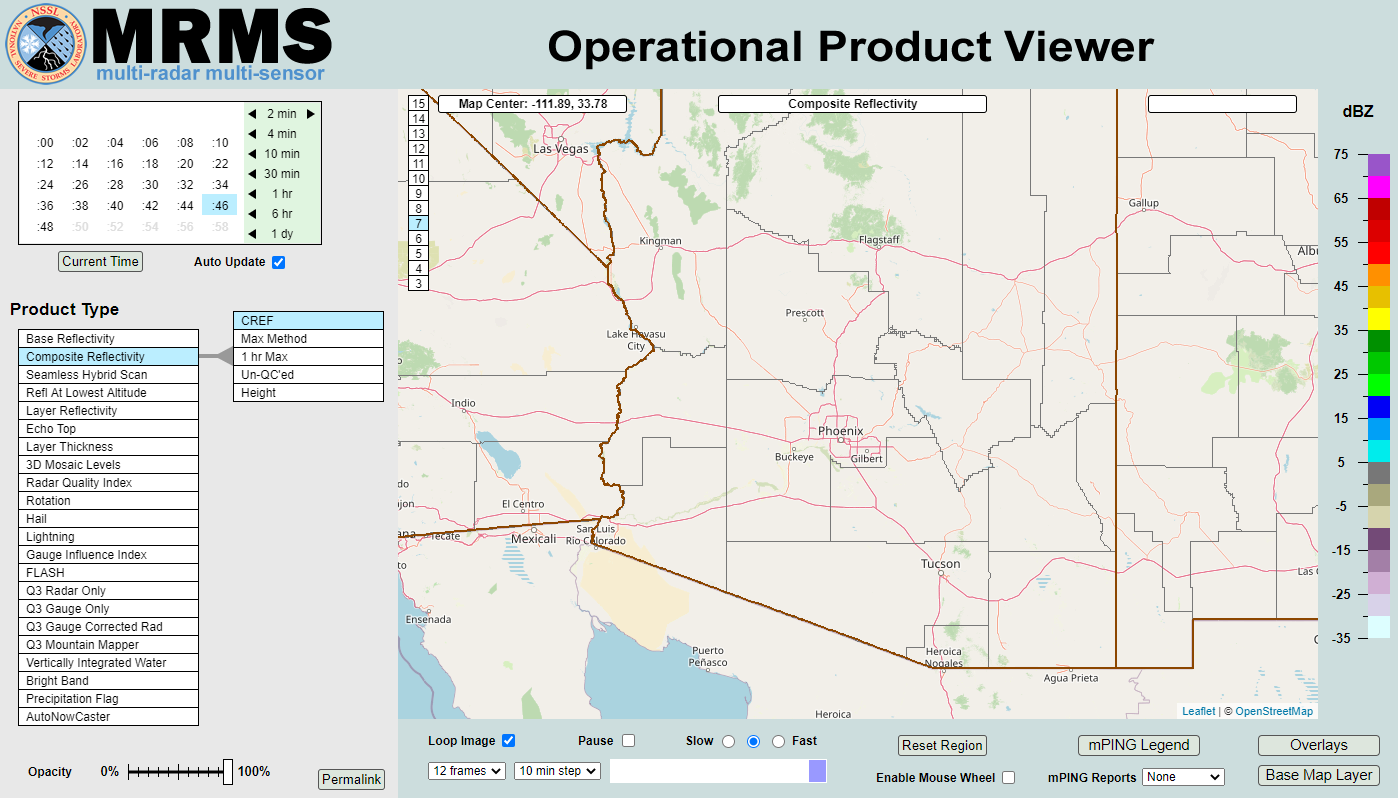 MRMS Radar Imagery
 Phoenix Radar
 Yuma Radar
 Regional Satellite
 GOES-19 Satellite
.PNG) Weather & Hazards Data Viewer
Weather & Hazards Data Viewer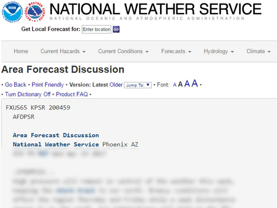 Forecast Discussion
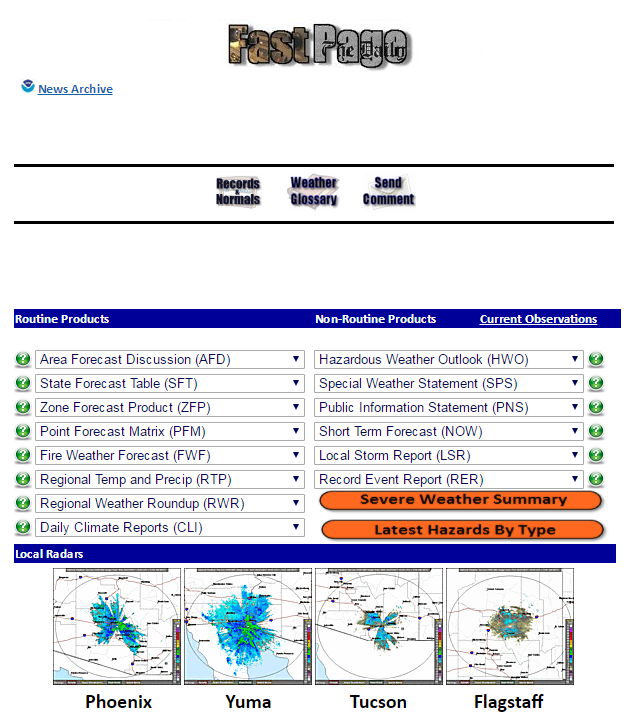 Fast Page
 Social Media
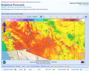 Local Graphical Forecast
 Monsoon Tracker
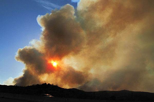 Fire Weather
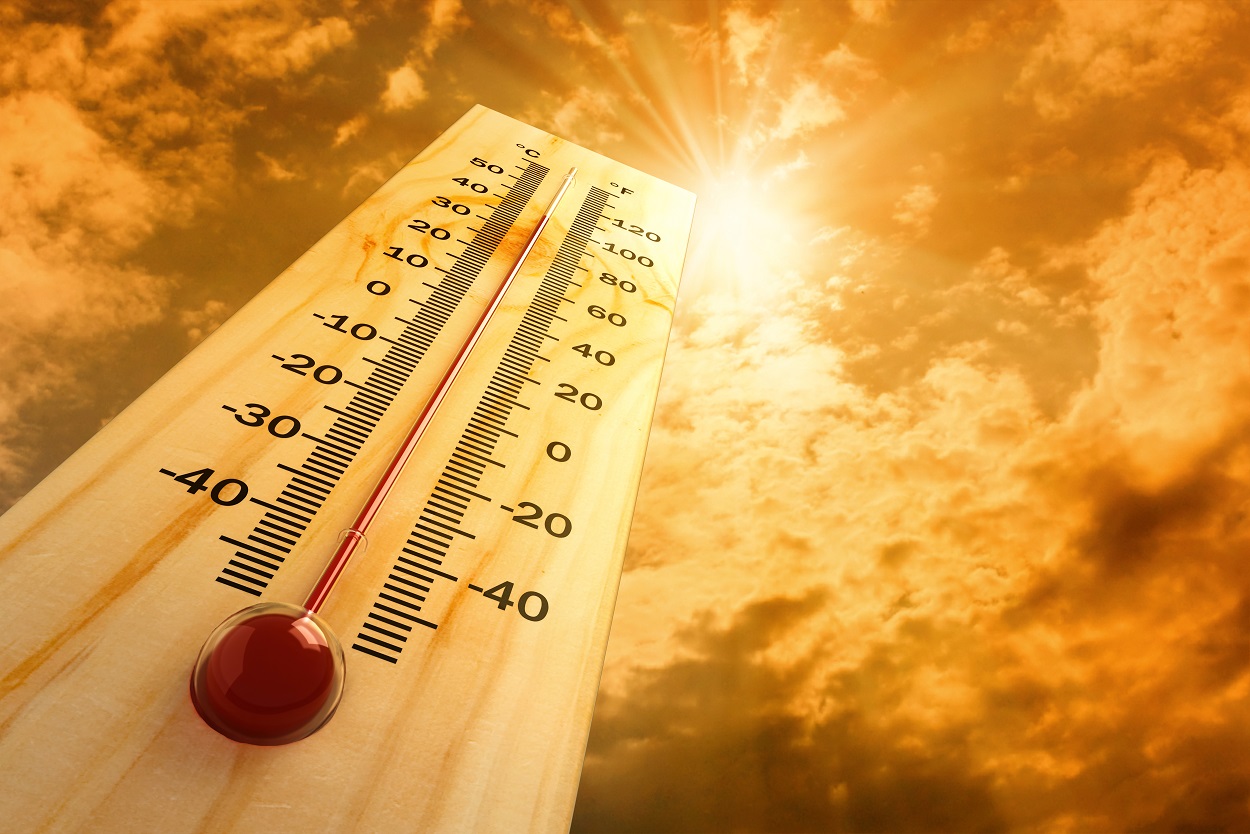 Heat
Heat Experimental Graphical HWO
 SPC Outlooks
 Hurricane Outlook
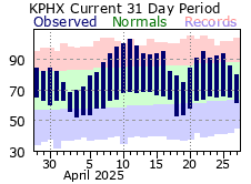 Local Climate Information
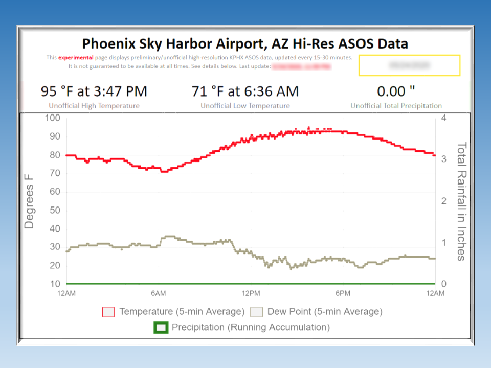 Hi-res KPHX ASOS Data