San Juan, PR
Weather Forecast Office
|
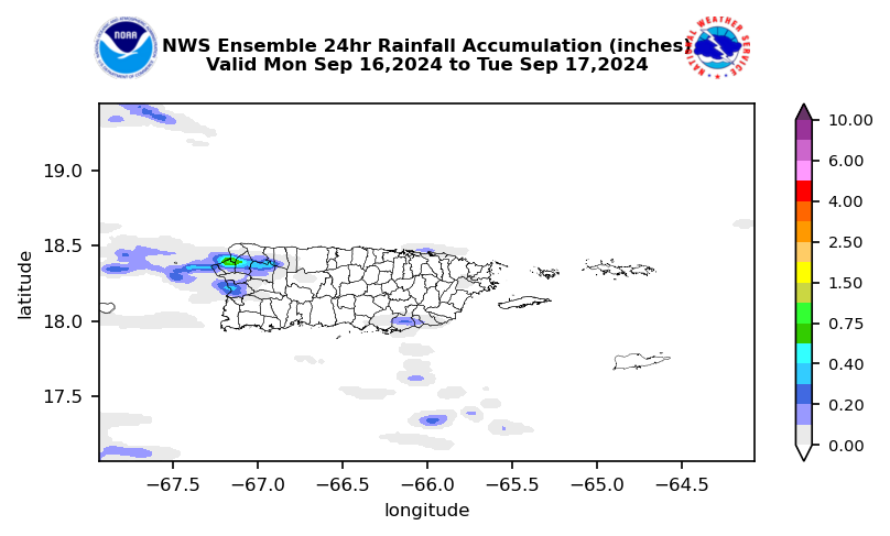
NWS Ensemble Day 1 Rainfall Accumulation
|
|
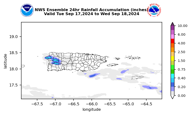
NWS Ensemble Day 2 Rainfall Accumulation
|
|
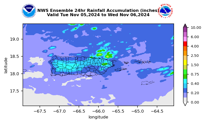
NWS Ensemble Day 3 Rainfall Accumulation
|
|
Model Analysis & Guidance (Global and Regional scale)
|
NOTICE TO ALL USERS - Some of these models are experimental and may not be available at all times. The accuracy or reliability is not guaranteed or warranted. The data are provided 'as is' and should not be used as the sole resource for decision making. Forecast guidance is best interpreted by a professional meteorologist who is familiar with the particular modeling system, including any model biases.
US Dept of Commerce
National Oceanic and Atmospheric Administration
National Weather Service
San Juan, PR
4000 Carretera 190
Carolina, PR 00979
787-253-4586
Comments? Questions? Please Contact Us.


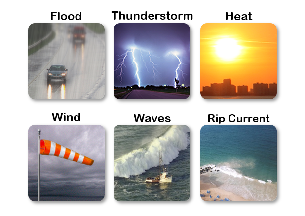 7-Day Graphical Hazardous Weather Outlook
 Tropical Analysis
 Tropical Weather
 Regional Satellite
 Puerto Rico and US Virgin Islands
 Local Radar