
Scattered severe thunderstorms capable of damaging wind gusts and some hail are expected this afternoon and evening from the Upper Ohio River Valley into the Northeast, and from the Appalachians into the Mid-Atlantic States. Excessive rainfall from heavy thunderstorms may produce areas of flash flooding from southern New Mexico into the western and northern Gulf Coast into Wednesday. Read More >
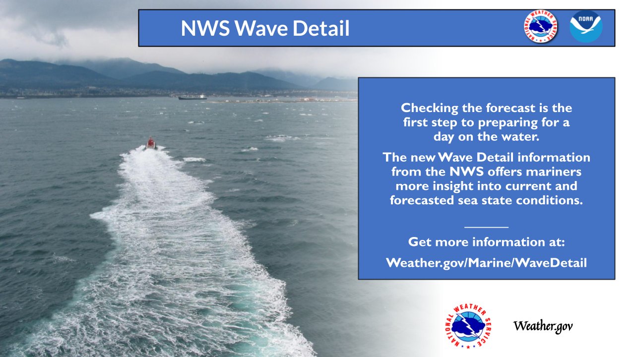
Click here for more information on the coastal water forecast wave component detail initiative

GIS-based web mapping portal displaying near real-time observations, analyses,
tide predictions, model guidance, watches/warnings, and forecasts.
MARINE & COASTAL OBSERVATIONS
Latest Summary of Marine and Coastal Observations
LOCAL BUOY OBSERVATIONS:
ADDITIONAL BUOY INFORMATION:
OTHER MARINE OBSERVATIONS:
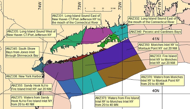
Click Map for Zone Forecast and Hazards
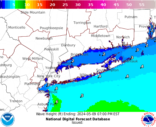
Click Map for Graphical Forecast
LOCAL TEXT WATCHES, WARNINGS & STATEMENTS:
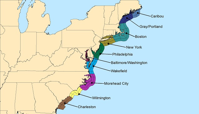
Click Map for East Coast Marine Forecasts and Hazards
OFFSHORE MARINE FORECASTS:
TIDAL & CURRENT INFO
Local Tides and Coastal Flooding Page
MAPS/CHARTS & RADIOFAX
SEA SURFACE TEMPERATURE
MARINE MODELS
SAFETY & EDUCATIONAL INFO
COLD WATER SAFETY
|
Marine Observations Needed!! |
-->


 Coastal Flooding