
Record setting heat is expected over the next several days from the Intermountain West through the northern Plains. Furthermore, fire weather concerns increase with dry and breezy conditions. Meanwhile, heavy rainfall and severe thunderstorm threats for the Ohio/Tennessee Valleys, central Appalachians and Southeast today. The threat shifts to central Gulf Coast and across central Texas this week. Read More >
Local TAFs (Terminal Aerodrome Forecasts)
| Product ID | Location | Latest |
Graphical TAF |
|---|---|---|---|
| NYCTAFBDR | Bridgeport (Sikorsky Airport), CT | ||
| NYCTAFISP | Islip (MacArthur Airport), NY | ||
| NYCTAFJFK | John F. Kennedy Airport, NY | ||
| NYCTAFLGA | Laguardia Airport, NY | ||
| NYCTAFEWR | Newark Airport, NJ | ||
| NYCTAFSWF | Newburgh (Stewart Field), NY | ||
| NYCTAFTEB | Teterboro Airport, NJ | ||
| NYCTAFHPN | White Plains (Westchester Airport), NY | ||
| NYCTAFGON | Groton (New London Airport), CT |
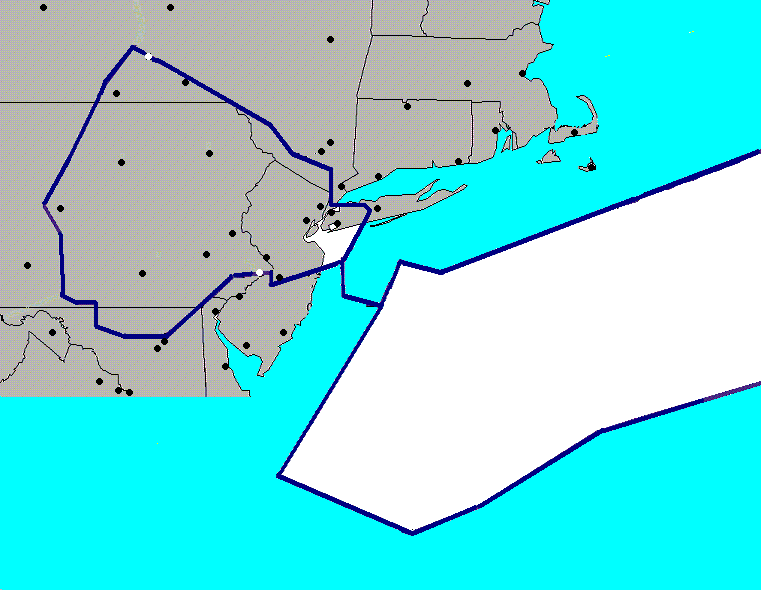
Regional Terminal Aviation Forecasts
Scroll over the map with your mouse to get the station identifier and location name
Click on the station to get latest TAF
| Top of Page | Home Page |


 Coastal Flooding