Missouri Basin, Pleasant Hill
River Forecast Center
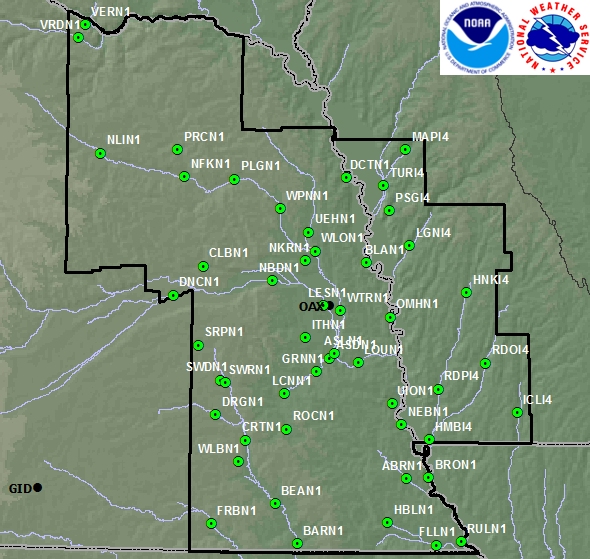
Locations are in alphabetical order by location ID.
STATION | STATION NAME | RIVER |
ABRN1 | Auburn, NE 1NE | Little Nemaha River |
ASLN1 | Ashland, NE 3NE | Platte River |
ASTN1 | Ashland, NE | Salt Creek |
BARN1 | Barneston, NE | Big Blue River |
BEAN1 | Beatrice, NE | Big Blue River |
BLAN1 | Blair, NE 2E | Missouri River |
BRON1 | Brownville, NE | Missouri River |
CLBN1 | Columbus, NE 8NE | Shell Creek |
CRTN1 | Crete, NE 2S | Big Blue River |
DCTN1 | Decatur, NE | Missouri River |
DEWN1 | Dewitt, NE | Turkey Creek |
DNCN1 | Duncan, NE 2S | Platte River |
DRGN1 | Dorchester, NE 7NW | West Fork Big Blue River |
FLLN1 | Falls City, NE | Big Nemaha River |
FRBN1 | Fairbury, NE | Little Blue River |
GRNN1 | Greenwood, NE 1WNW | Salt Creek |
HBLN1 | Humboldt, NE | North Fork Big Nemaha River |
HMBI4 | Hamburg, IA 2NE | Nishnabotna River |
HNKI4 | Hancock, IA | West Nishnabotna River |
ICLI4 | Clarinda, IA 1E | Nodaway River |
ITHN1 | Ithaca, NE | Wahoo Creek |
LCNN1 | Lincoln, NE | Salt Creek |
LESN1 | Leshara, NE 1SE | Platte River |
LGNI4 | Logan, IA | Boyer River |
LRTN1 | Loretto, NE 8W | Beaver Creek |
LOUN1 | Louisville, NE | Platte River |
LUSN1 | Lincoln, NE | Salt Creek |
MAPI4 | Mapleton, IA | Maple River |
NBDN1 | North Bend, NE | Platte River |
NEBN1 | Nebraska City, NE | Missouri River |
NFKN1 | Norfolk, NE 2SSW | Elkhorn River |
NKRN1 | Nickerson, NE 4NW | Maple Creek |
NLIN1 | Neligh, NE | Elkhorn River |
OMHN1 | Omaha, NE | Missouri River |
PLGN1 | Pilger, NE | Elkhorn River |
PRCN1 | Pierce, NE 2SE | North Fork Elkhorn River |
PSGI4 | Pisgah, IA | Soldier River |
PTMN1 | Plattsmouth, NE | Missouri River |
RDOI4 | Red Oak, IA | East Nishnabotna River |
RDPI4 | Randolph, IA 1W | West Nishnabotna River |
ROCN1 | Roca, NE | Salt Creek |
RULN1 | Rulo, NE | Missouri River |
SRPN1 | Surprise, NE | Big Blue River |
SWDN1 | Seward, NE 3WNW | Lincoln Creek |
SWRN1 | Seward, NE | Big Blue River |
TURI4 | Turin, IA 4S | Little Sioux River |
UEHN1 | Uehling, NE 2SW | Logan Creek |
UION1 | Union, NE 2SE | Weeping Water Creek |
VERN1 | Verdel, NE 1E | Ponca Creek |
VRDN1 | Verdel, NE 6S | Niobrara River |
WLBN1 | Wilber, NE 3W | Turkey Creek |
WLON1 | Winslow, NE 2E | Elkhorn River |
WPNN1 | West Point, NE 1W | Elkhorn River |
WTRN1 | Waterloo, NE | Elkhorn River |
US Dept of Commerce
National Oceanic and Atmospheric Administration
National Weather Service
Missouri Basin, Pleasant Hill
1803 North 7 Highway
Pleasant Hill, MO 64080-9421
Comments? Questions? Please Contact Us.
Thank you for visiting a National Oceanic and Atmospheric Administration (NOAA) website. The link you have selected will take you to a non-U.S. Government website for additional information.
NOAA is not responsible for the content of any linked website not operated by NOAA. This link is provided solely for your information and convenience, and does not imply any endorsement by NOAA or the U.S. Department of Commerce of the linked website or any information, products, or services contained therein.
You will be redirected to: