 |
 |
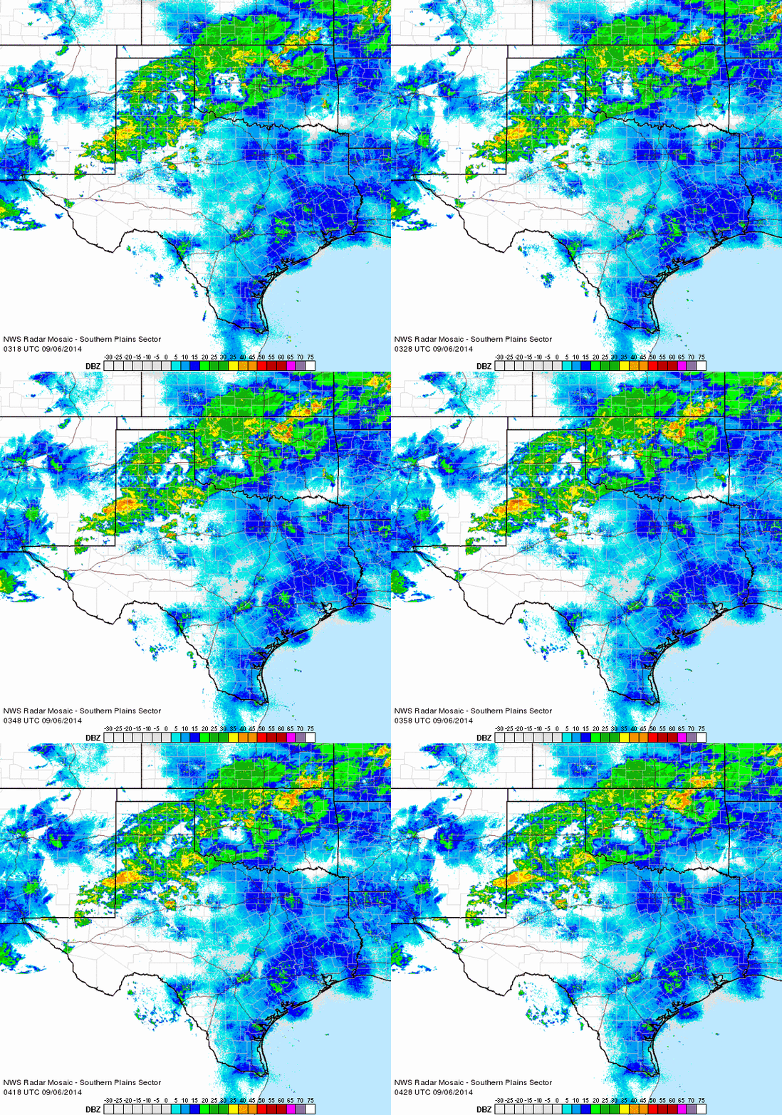
| Regional radar animation valid from 10:18 to 11:28 pm on Friday, 5 September 2014. |
| |
|
Abundant moisture joined forces with a strong early September cold front to bring widespread rain and much cooler temperatures to West Texas. The influx of moisture was partially enhanced by the remnants of Tropical Storm Dolly, from the Gulf, as well as upper level moisture being whisked off of Hurricane Norbert, in the eastern Pacific. The tropical connections supplied the moisture which rapidly increased over the South Plains region on Friday, September 5th. Clouds quickly thickened and rain showers and isolated thunderstorms developed across the western Texas Panhandle and western South Plains Friday afternoon. The rain gradually expanded eastward through the late afternoon and evening hours, aided by an eastward moving outflow boundary and a southward advancing cold front. Widespread moderate to heavy rainfall affected a large portion of the South and Rolling Plains between Friday afternoon and early Saturday morning.
|
| |
 |
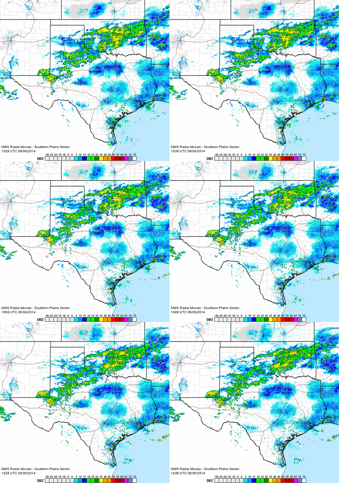
| Regional radar animation valid from 10:28 to 11:38 am on Saturday, 6 September 2014. |
| |
| The focus for the most widespread rainfall slowly shifted southward on Saturday, though light to moderate rain showers continued to affect a good portion of the South Plains and Rolling Plains. The cloudy and rainy conditions also kept temperatures from climbing on Saturday, with highs only topping out in the 60s for most spots. Lubbock officially recorded a high of 64 degrees, tying it for the coolest high for the date. The record low maximum for September 6th was originally set way back in 1918. |
| |
 |
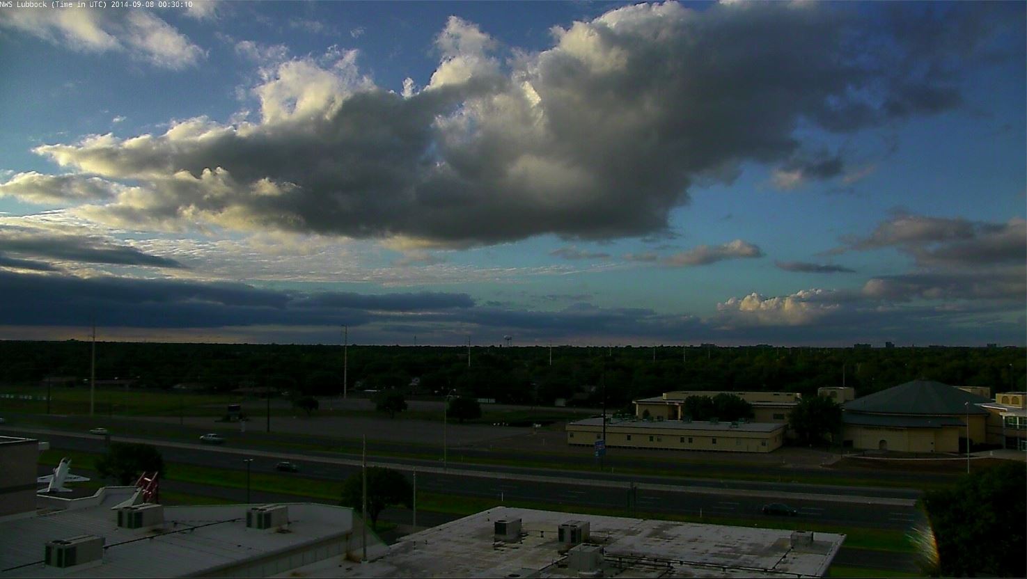
| Beautiful conclusion to a pleasantly cool Sunday, 7 September 2014. The picture is looking northwestward from south Lubbock. |
| |
| A few showers did linger across the far southern South Plains into Sunday (September 7th), but most locations experienced a drying trend, with even a few breaks of sun during the afternoon and evening hours. This resulted in a very nice afternoon and evening with high temperatures topping out in the 70s to lower 80s. |
| |
 |
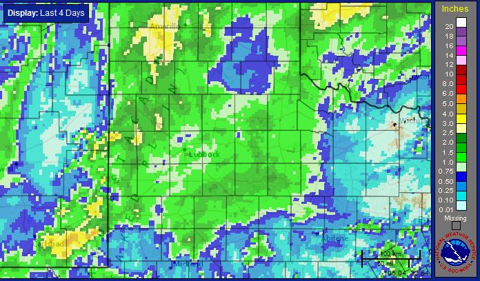
| Radar-estimated 4-day rainfall tallied from midday Thursday to midday Monday (4-8 September 2014). |
| |
|
Before all was said and done, the prolonged period of rain yielded some respectable totals, as the above graphic illustrates. Rainfall amounts of an inch or more were quite common, with 1.5-3.0 inches found in many pockets, particularly from the western Texas Panhandle into the western South Plains.
The below map shows rainfall totals, as recorded by the West Texas Mesonet, over the cool and wet early September weekend. Also shown are high temperatures over the atypically cool weekend.
|
| |