|
Another Quick Shot of Snow |
 |
|
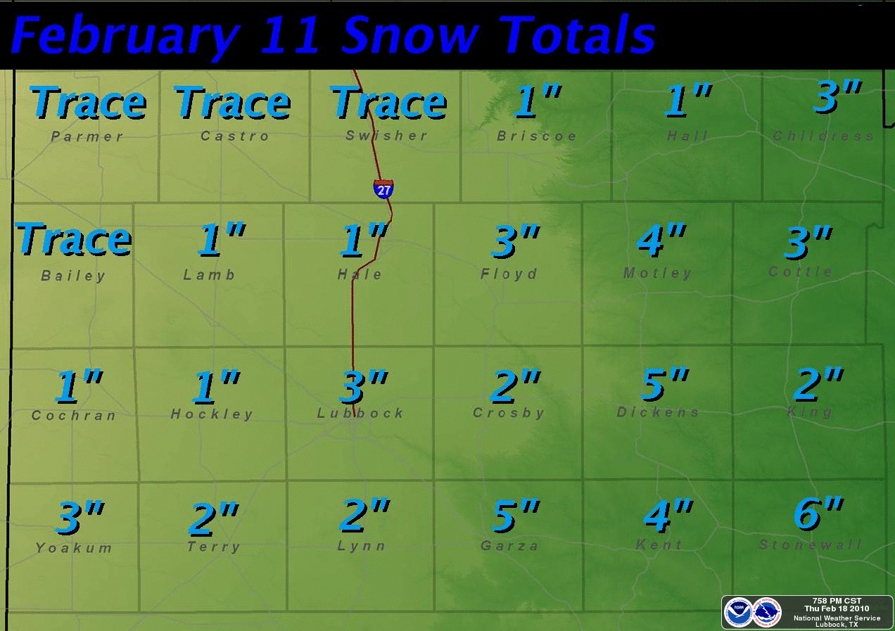
Graphic displaying the amount of snow that fell on February 11th. Amounts are in inches. Click on the image for a larger view. |
|
To view the public information statement issued regarding this snow event CLICK HERE. |
 |
|
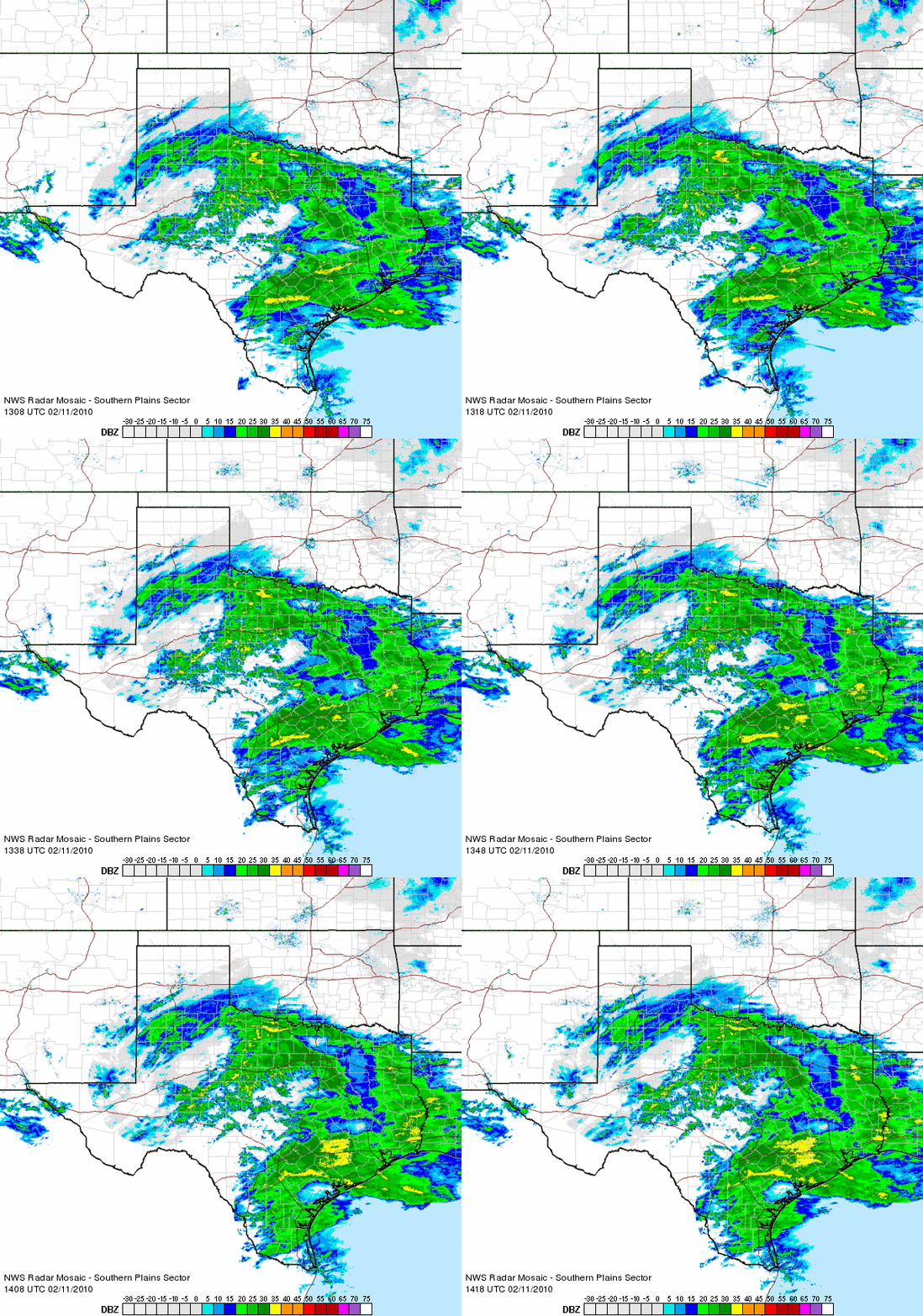
Radar loop between 7:08 am and 8:18 am CST on February 11, 2010. The band of precipitation across the South Plain and Rolling Plains and into North Texas is snow. |
|
Below are a few images taken around the Lubbock area as the snow fell on the 11th. |
 |
|
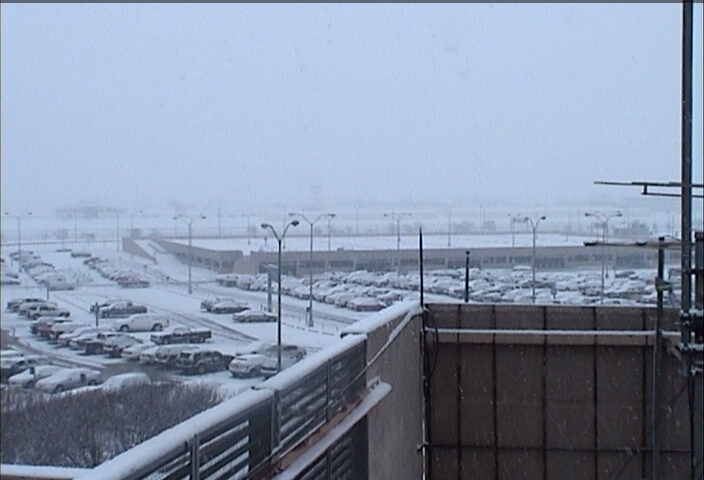
Image of snow falling at the Lubbock Airport during the early morning hours of February 11, 2010. Click on the image for a larger view. |
 |
|
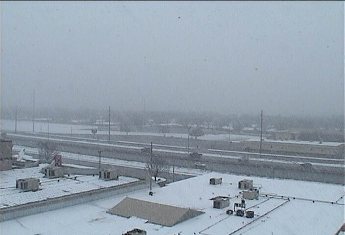
Very large snowflakes falling at the Science Spectrum (southern Lubbock) during the early afternoon of February 11, 2010. Click on the image for a larger view. |
|
|
|
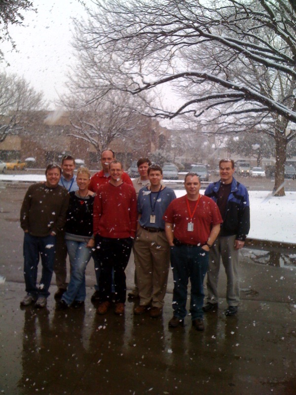
Picture of some of the WFO Lubbock crew taking a brief break to enjoy the snow during the early afternoon of February 11, 2010. Click on the image for a larger view. |
|
|


 Follow us on X
 Follow us on Facebook
 Follow us on YouTube
 LUB RSS Feed


