Lubbock, TX
Weather Forecast Office
|
Severe Storms Impact the Western South Plains |
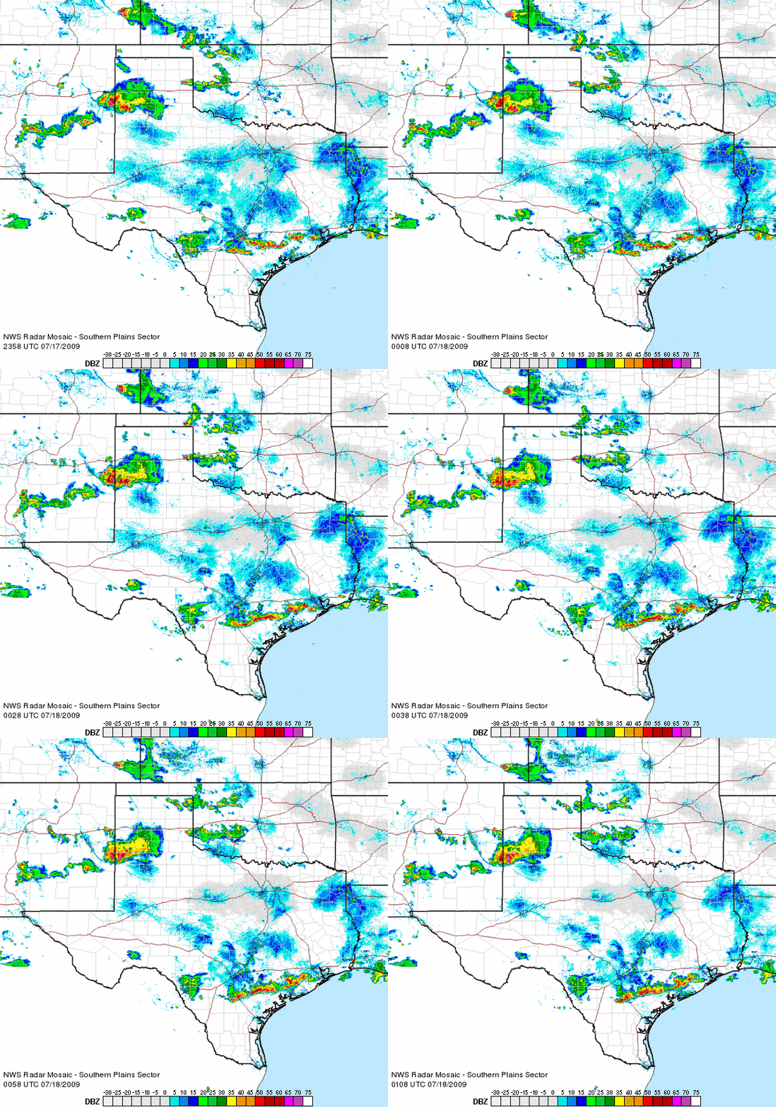 |
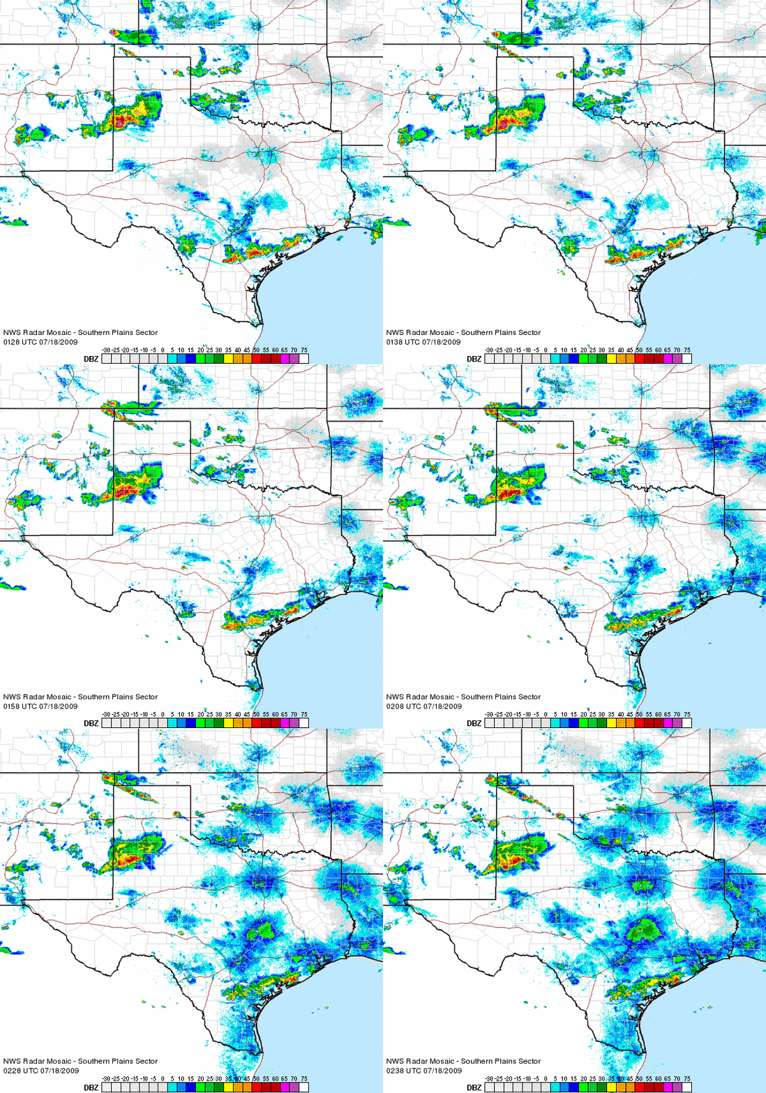
| Radar animation from 6:58 pm to 8:08 pm on Friday evening (17 July). To view another radar animation that runs from 8:28 pm to 9:38 pm CLICK HERE. |
Storms that developed across northeast New Mexico and the western Texas Panhandle during the afternoon hours on Friday (17 July) congealed into a small complex and tracked southward across the western South Plains during the evening hours. The complex became rather stout and brought a swath of strong winds and large hail from the southwest Texas Panhandle through the western South Plains.
Wind gust of 60 to 75 mph were common with this complex as it tracked southward. However, an extreme wind gust of 93 mph was measured by the Texas Tech West Texas Mesonet site located 1 mile east-northeast of Morton. The strong winds blew down several power poles and a carport in the Morton area. In addition, hail up to the size of golf balls was reported in Lazbuddie as the storms rolled through.
For a complete list of the preliminary storm reports please CLICK HERE.

US Dept of Commerce
National Oceanic and Atmospheric Administration
National Weather Service
Lubbock, TX
2579 S. Loop 289
Suite 100
Lubbock, TX 79423-1400
806-745-3916
Comments? Questions? Please Contact Us.


 Follow us on X
 Follow us on Facebook
 Follow us on YouTube
 LUB RSS Feed