|
||||
 |
||||
|
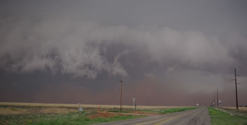
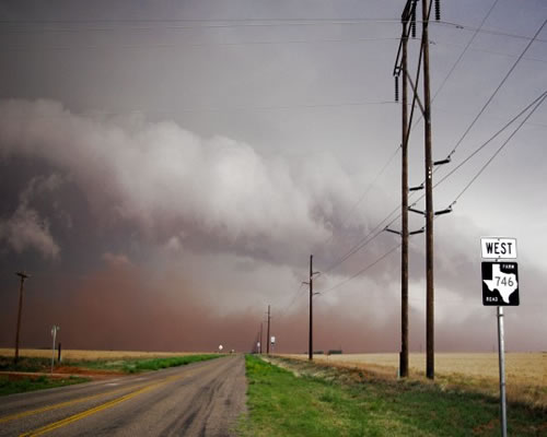
Image of dust associated with thunderstorms over the northwest South Plains the evening of 25 May 2008. Picture by Mark Conder.
|
||||
|
|
||||
 |
||||
|
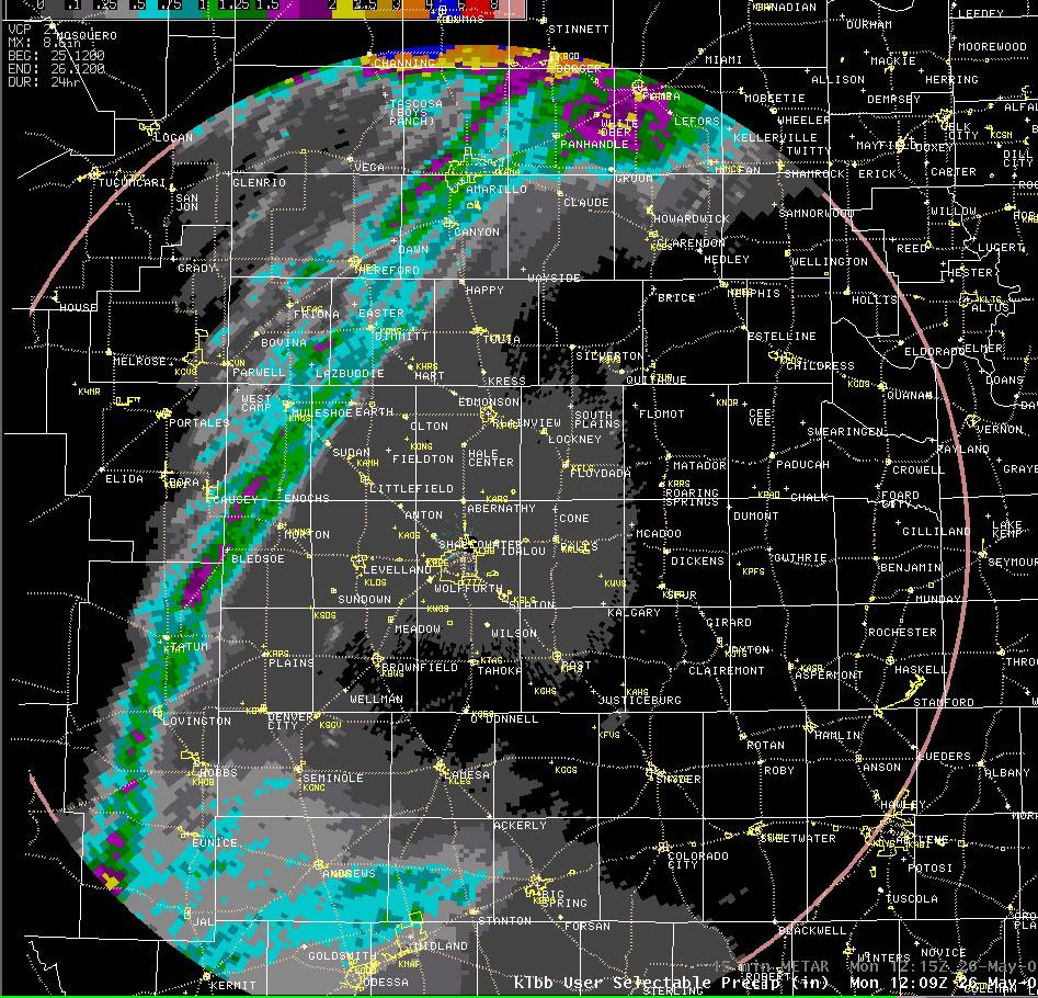
Map of the storm total precipitation from early Sunday morning to early Monday morning (25-26 May 2008). Click on the map for a larger view.
|
||||
The storms initially developed in close proximity to the dryline across southeast New Mexico. One particularly intense cell moved north-northeast through parts of Lea County, NM, before cutting northeast roughly along a Bledsoe to Enochs to Muleshoe to Dimmitt Line. In addition to strong winds, this particular severe thunderstorm produced a swatch of large hail. Golf-ball sized hail was reported 7 miles north of Muleshoe, with similarly sized hail also observed 14 miles west-southwest of Needmore. Above is a map of radar estimated precipitation for a 24-hour period encompassing this severe weather event. The swatch of heavy rain and hail in quite apparent (greens and purples) over the left portion of the image. |
||||
|
||||
|
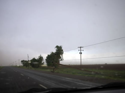
Picture of a storm and wall of dust near Sudan on 25 May 2008 (left), with post storm power pole damage near Littlefield (right). Click on images for a larger view. Pictures by Mark Conder.
|
||||
|
|
||||
|
||||
|
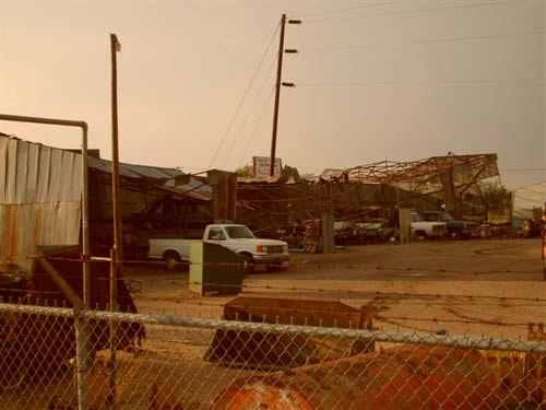
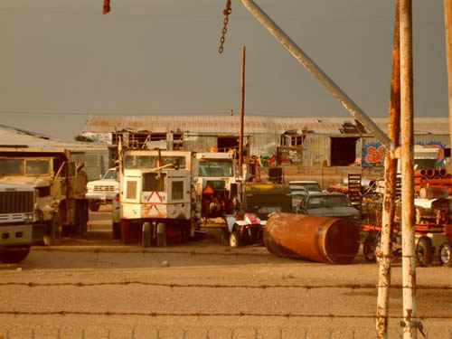
Damage to a city shed and buildings in Muleshoe Texas on 25 May 2008. Click on the images for a larger view. Photos taken by Jack Rennels.
|
||||
|
Also, for a complete listing of the preliminary storm reports CLICK HERE. To view a summary of the severe weather event composed by the Texas Tech West Texas Mesonet CLICK HERE.
|
||||
 |
 |
 |
 |
 |
 |
|
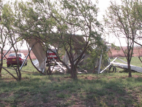
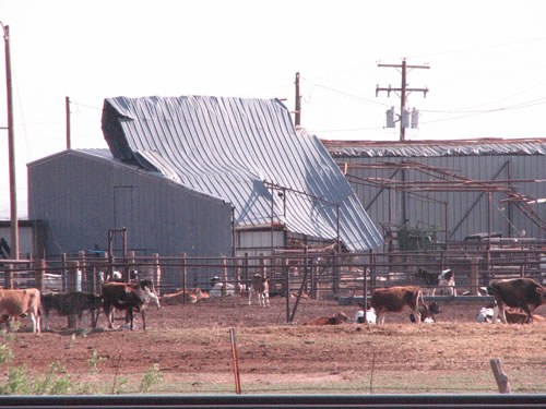
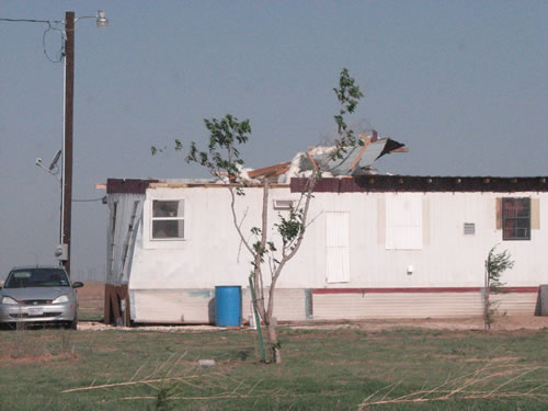
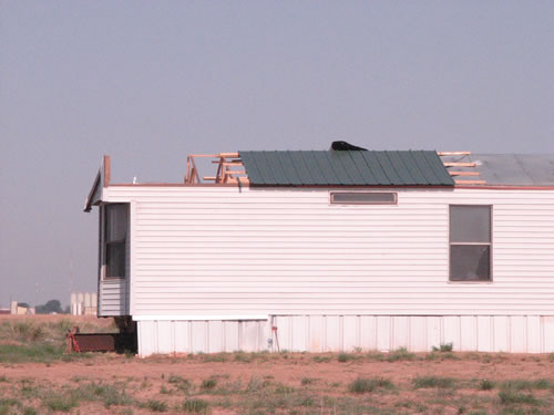
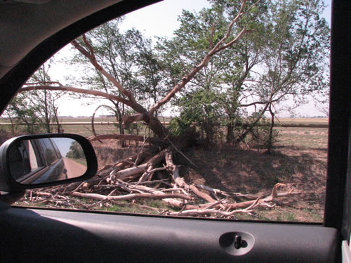
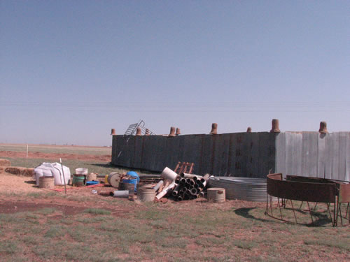
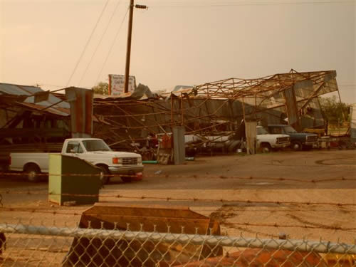
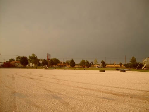
Damage from in and around the city of Muleshoe. Click on the picture for a larger view. Photos by Jody James.
|
|


 Follow us on X
 Follow us on Facebook
 Follow us on YouTube
 LUB RSS Feed


