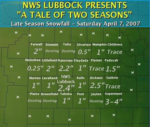
Above is an image displaying the snowfall amounts received on Saturday, 7 April 2007 (image created by Brian LaMarre).
A cold Canadian airmass combined with a couple of upper-level disturbances to bring bands of snow to the South Plains on Saturday, 7 April 2007. Although snowfall amounts were not too high, generally one to two inches, a few locations from Littlefield to Lubbock to Aspermont did experience upwards of 3 inches within a heavy snow band that setup during the morning hours. Later in the day another snow band brought periods of heavy snow to the southern Texas Panhandle. Given the warm ground, the snow didn't stick around long, except on grassy surfaces and other vegetation. However, during the periods of intense snow, it did briefly accumulate on roadways making for some tricky travel.
In addition, the clouds and snow kept temperatures from climbing much, with locations on the Caprock only making it into the upper 20s or lower 30s, with highs in the middle 30s further east. The official high temperature at Lubbock only made it to 31 degrees. This high established not only a new daily record low maximum but set an all time April low maximum as well. The old daily record low maximum for April 7th was 35 degrees set in 1983, while the old monthly record low maximum was 33 degrees set on April 12th in 1957. Low temperatures the morning of the 7th made it down in middle 20s for many locations, with upper 20s across portions of the Rolling Plains, proving harsh for tender vegetation. Some locations did see another light dusting of snow
A compilation of snowfall reports assembled by the Lubbock NWS Office can be found HERE.
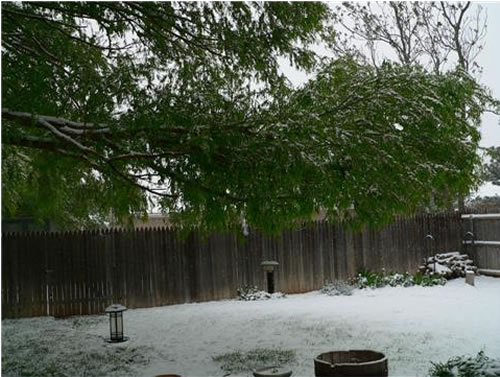
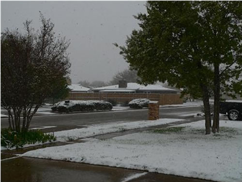
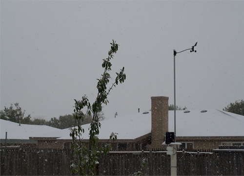
Below are images of the snow that fell in Lubbock on Saturday, 7 April 2007 (First two pictures taken by Erin Shaw, 3rd by Mark Conder). 

