
Isolated severe storms capable of hail and gusty winds are possible mainly this evening across portions of the mid-Mississippi Valley. Clusters of thunderstorms may produce isolated flash flooding in the Florida peninsula. Elevated fire weather risk is possible in the Northern Plains into western Minnesota. Read More >
Last Map Update: Wed, May 6, 2026 at 11:58:15 am MDT
|
Text Product Selector (Selected product opens in current window)
|
|


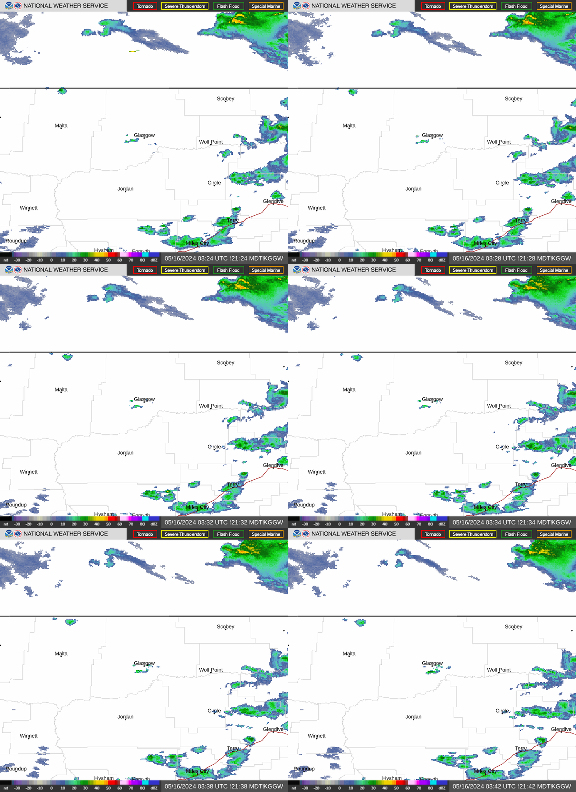 Glasgow Radar
 Satellite
 Current observations
 Forecast discussion
 Montana weather
 Fire weather
 Recreation forecasts
.png) Transportation forecast
Transportation forecast.png) Weather Prediction Center
Weather Prediction Center Storm Prediction Center
 Aviation weather
.png) Skywarn
Skywarn Follow us on X
 Follow us on Facebook
 Follow us on YouTube
 GGW RSS Feed