
Record setting heat is expected over the next several days from the Intermountain West through the northern Plains. Furthermore, fire weather concerns increase with dry and breezy conditions. Meanwhile, heavy rainfall and severe thunderstorm threats for the Ohio/Tennessee Valleys, central Appalachians and Southeast today. The threat shifts to central Gulf Coast and across central Texas this week. Read More >
Bismarck, ND
Weather Forecast Office
Overview
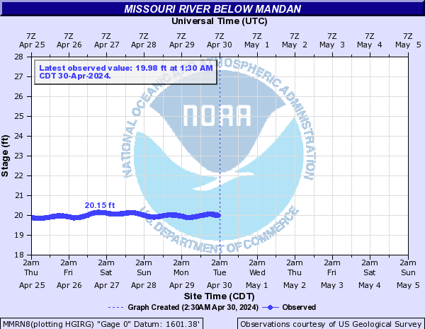
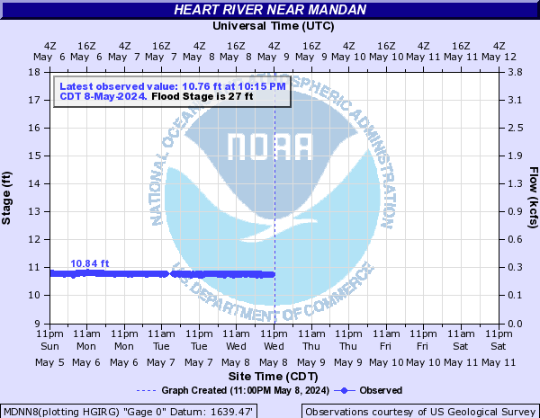
Cooler weather to end the week may form ice and bring some increased water levels to the Missouri River, mainly near the Bismarck and Mandan area. Those impacted by increased river levels should continue to monitor closely and report any flooding.
Flooding
Use this tab to monitor latest river levels along the Missouri River near Bismarck/Mandan
Hydrographs
 |
 |
 |
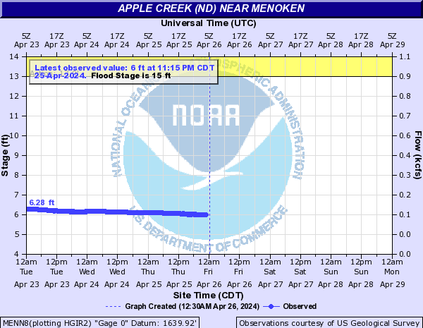 |
| Missouri River at Bismarck | Missouri River at Mandan | Heart River near Mandan | Apple Creek near Menoken |
Radar/Photos
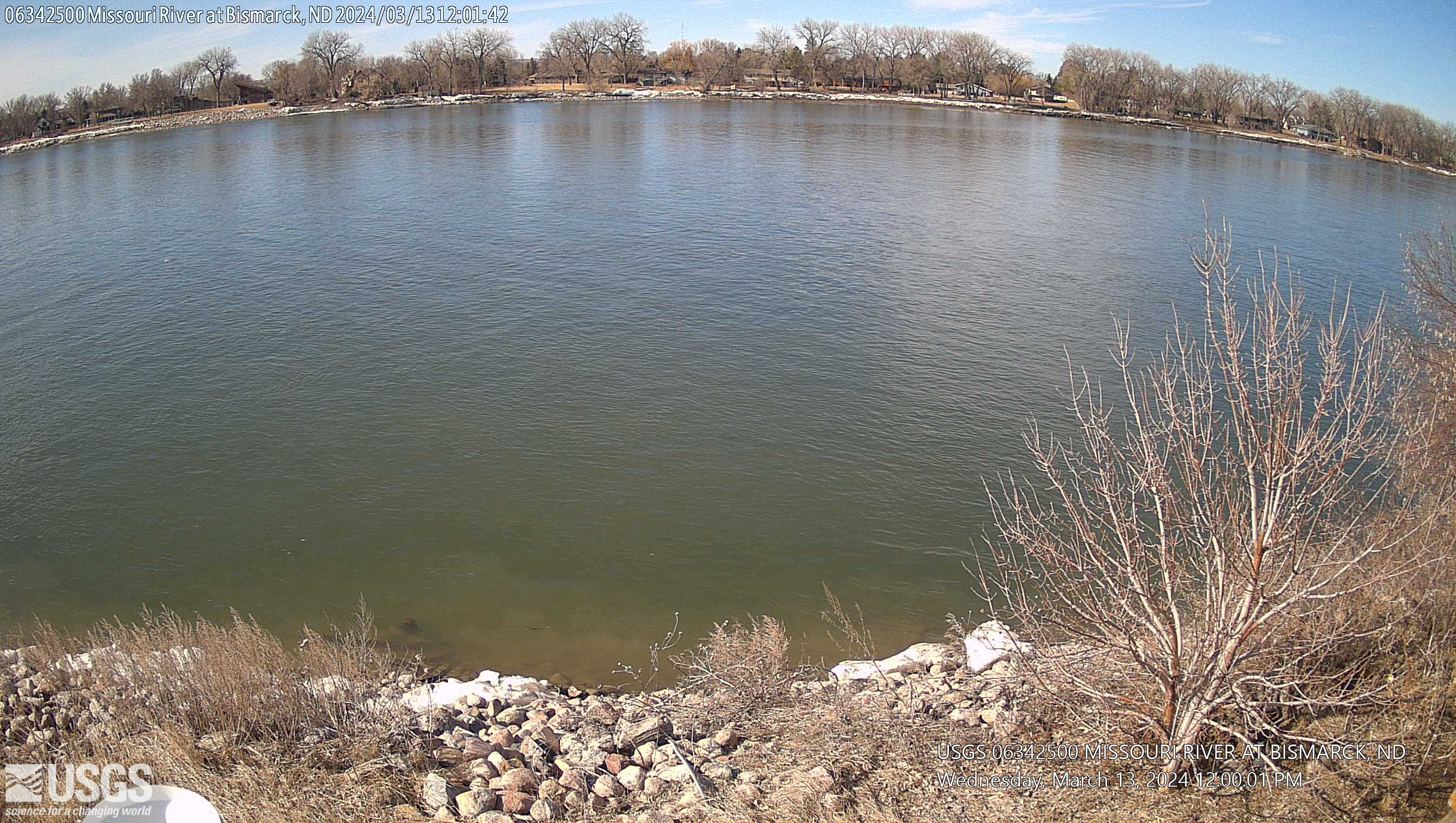 |
| USGS Camera on Missouri River near Bismarck |
Latest Hydrologic Outlook
 |
Media use of NWS Web News Stories is encouraged! Please acknowledge the NWS as the source of any news information accessed from this site. |
|
US Dept of Commerce
National Oceanic and Atmospheric Administration
National Weather Service
Bismarck, ND
2301 University Drive, Building 27
Bismarck, ND 58504
701-250-4224
Comments? Questions? Please Contact Us.

